July 2 and 3, 2022
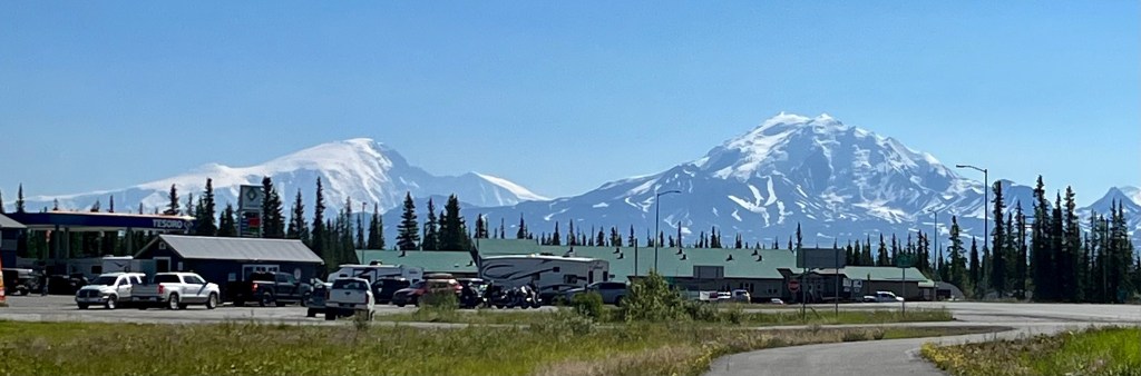
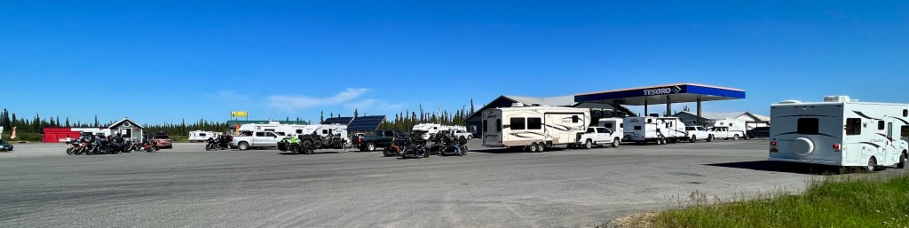
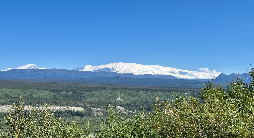
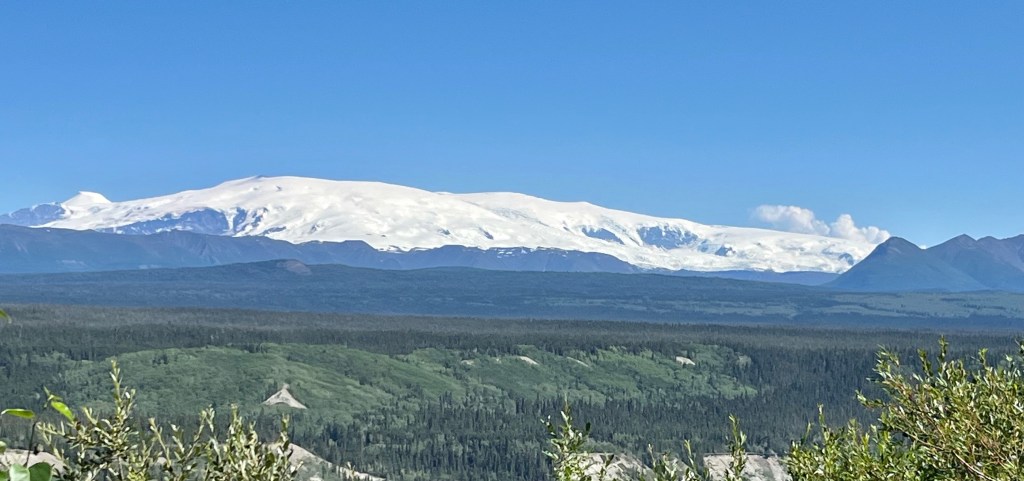
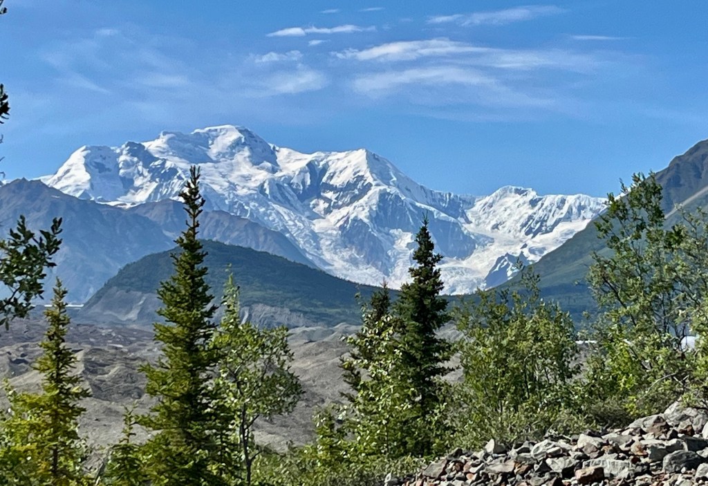
Mount Sanford (elevation 16,237 feet) and Mount Drum (elevation 12,010 feet) were visible from Glennallen, with the lines of RV’s waiting for fuel in the foreground. The Wrangell-St. Elias National Park and Preserve is the largest unit in the US National Park system. It contains 13.2 million acres of wild lands and 9.7 million acres of designated Wilderness. Also it contains the greatest collections of peaks over 16,000 foot on the North American continent, including Mt. St. Elias (elevation 18,029 feet), the second tallest peak in the United States. The park also contains the largest concentration of glaciers, the largest of which, Malaspina Glacier, is larger than the state of Rhode Island.
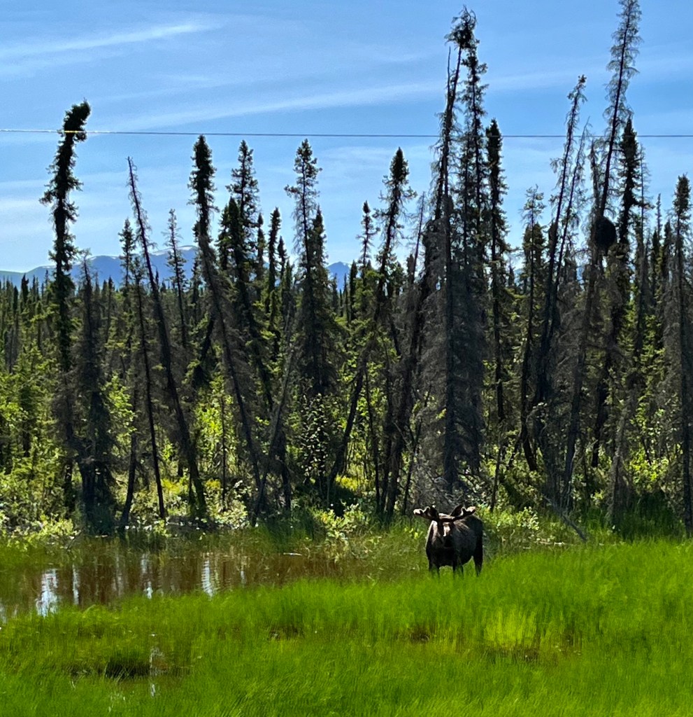


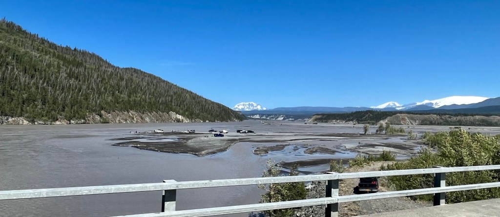
On July 3 we decided to try to drive to Chitina, east of Glennallen and Copper Center. Dee and Cheryl had tried to go there on an earlier trip but the road was too rough and they had turned back. We went east from the Richardson Highway on the Edgerton Highway, also known as the McCarthy Road. Just three miles in Doug, sitting in the shotgun seat said calmly, “oh, a moose”. Everyone said WHAT!!! and we had to find a place to turn around to go see the moose, right next to the highway. Since we always stopped for wildlife, Doug’s calm demeanor became a standing joke.
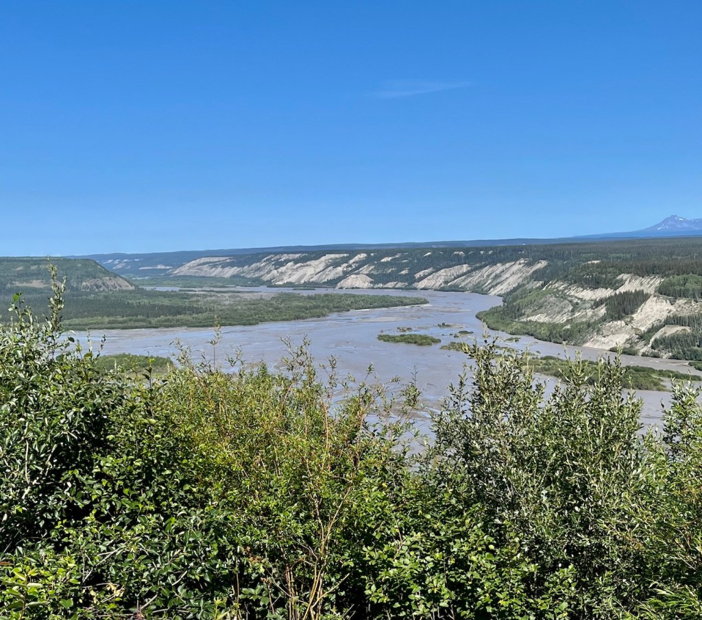

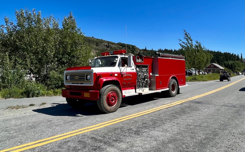
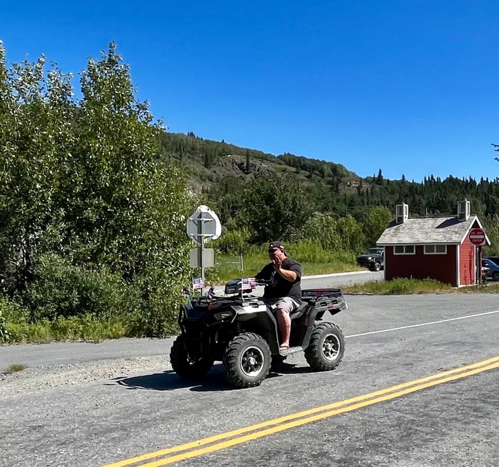
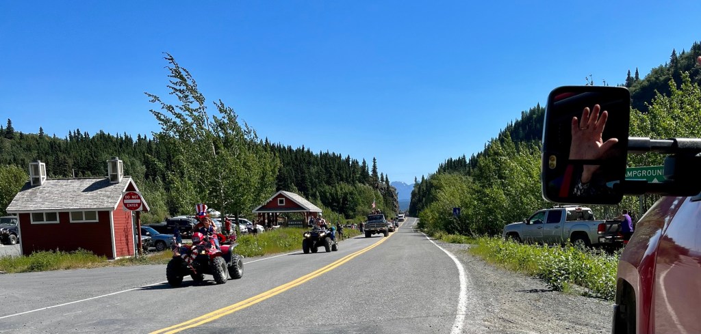
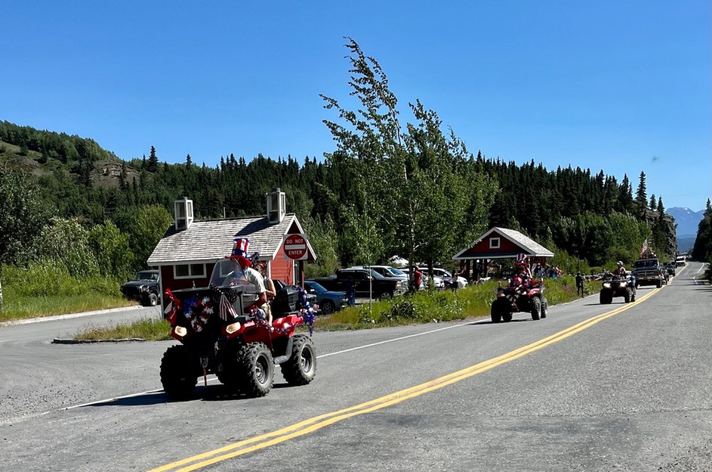
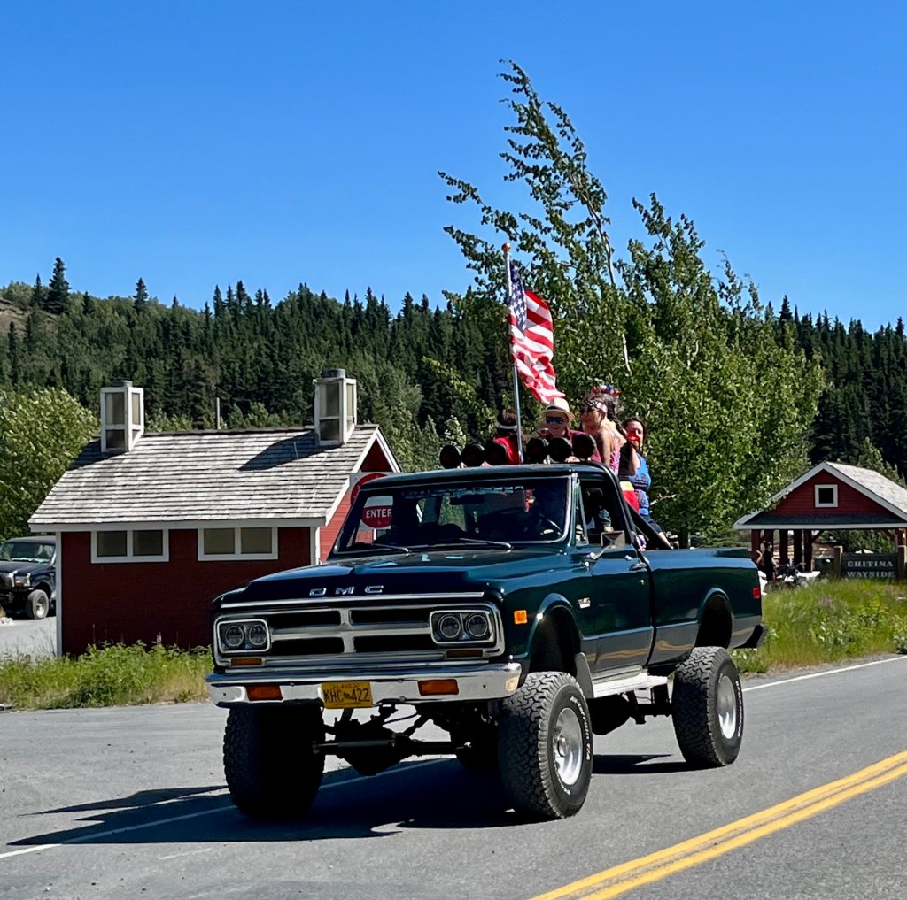
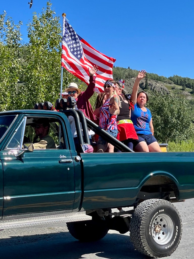
We arrived in Chitina after 30 miles of pretty decent road, and suddenly were in the middle of their Fourth of July Parade!


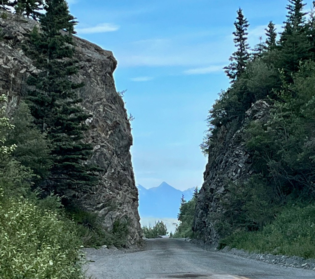
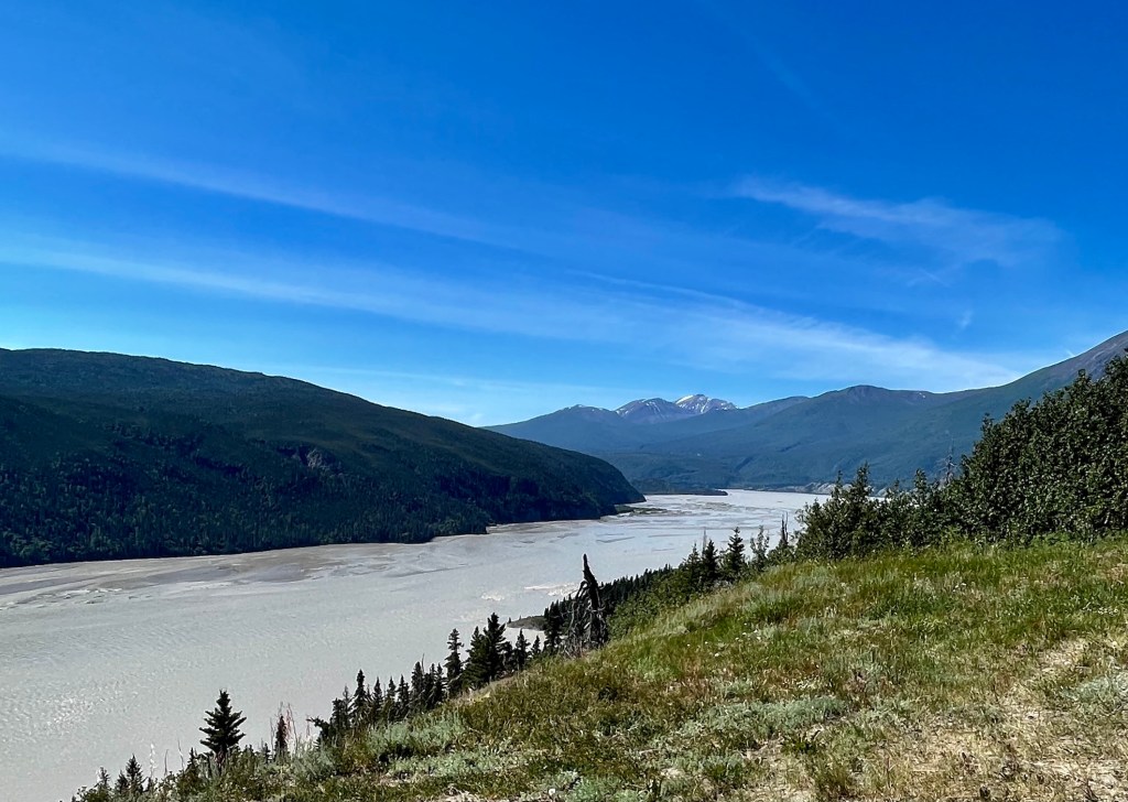
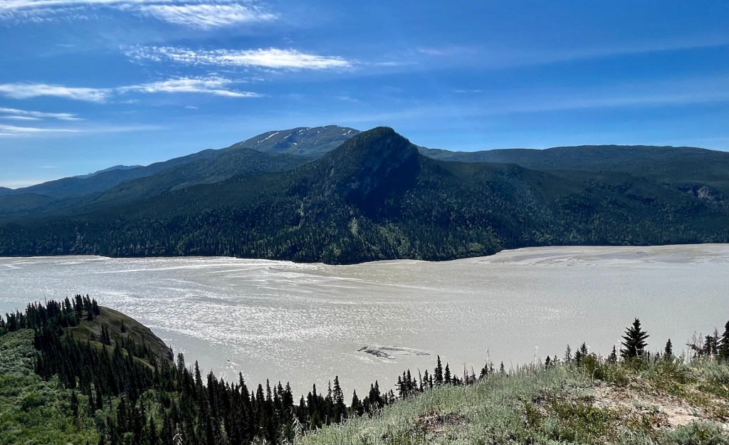
From Chitina east the road is gravel, narrow, and winding for nearly 60 miles. After Chitina there is a bridge over the Copper River and a narrow pass cut into the mountain. The road is located on the right of way of the Copper River & Northwestern Railway. There are narrow cuts through rocks and the bridges are narrow former rail bridges. A stern sign early on “strongly” recommends against travel by RV’s and large vehicles, a sign which obviously is ignored as we found out during the long and bumpy road to McCarthy.

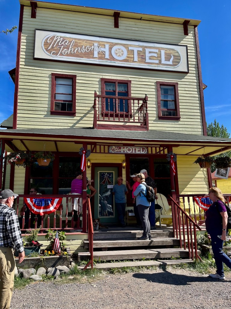
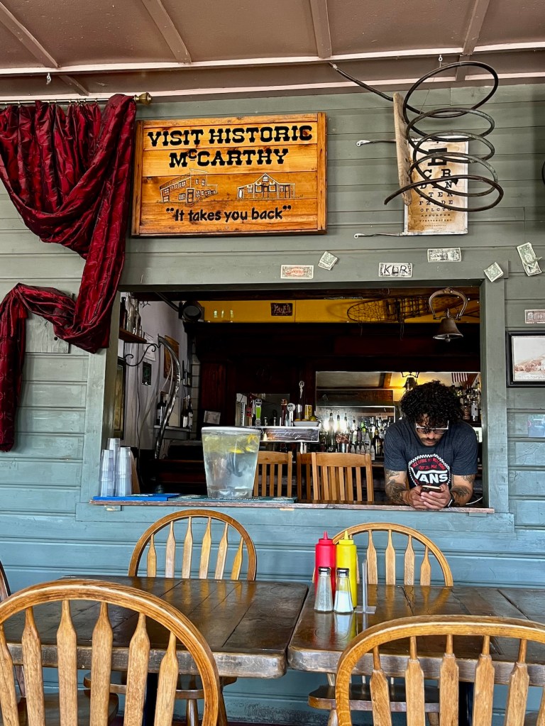
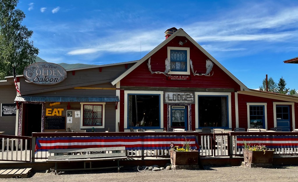
The Towns of McCarthy and Kennicott have been developed as tourist destinations, with crowded parking and camping areas, and some hotel accommodations.
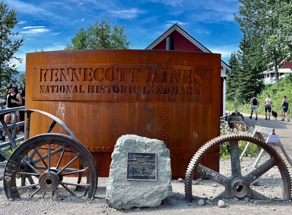
The Kennecott Mines National Historic Landmark is near McCarthy and accessed by a bumpy van ride. Kennecott Mines was a very profitable venture in spite of its remote location because the quality of the copper deposits was “uncommonly rich.” The copper ore was discovered by American prospectors in 1900 and by 1911 a camp, mill, mines, and railway allowed the mine to go into regular production. The mine produced ore until 1938. It was designated a National Historic Landmark in 1986 and acquired by the National Park Service in 1998. Some buildings have been stabilized and Kennecott is the best preserved example of early 20th century copper mining technology in the USA.


The Kennicott Glacier and Kennicott River are adjacent the Kennecott Mines, and the different spellings are correct. The glacial till, a mixture of rocks and gravel in the melting terminus of the glacier, is visible behind the buildings in the last photo above.


Wow! You are having the trip of a lifetime! Thanks for sharing.
LikeLiked by 1 person
Beautiful pictures! Thanks for sharing them!
LikeLiked by 1 person