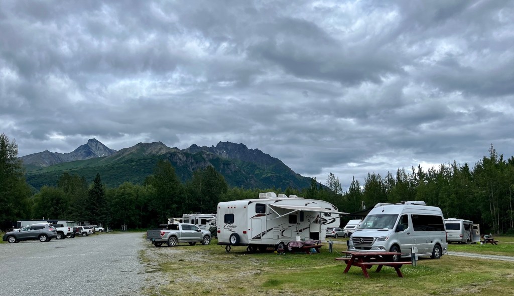
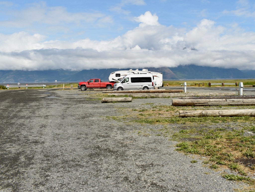
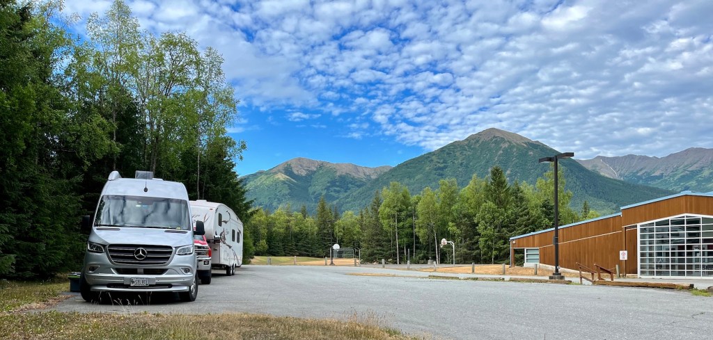
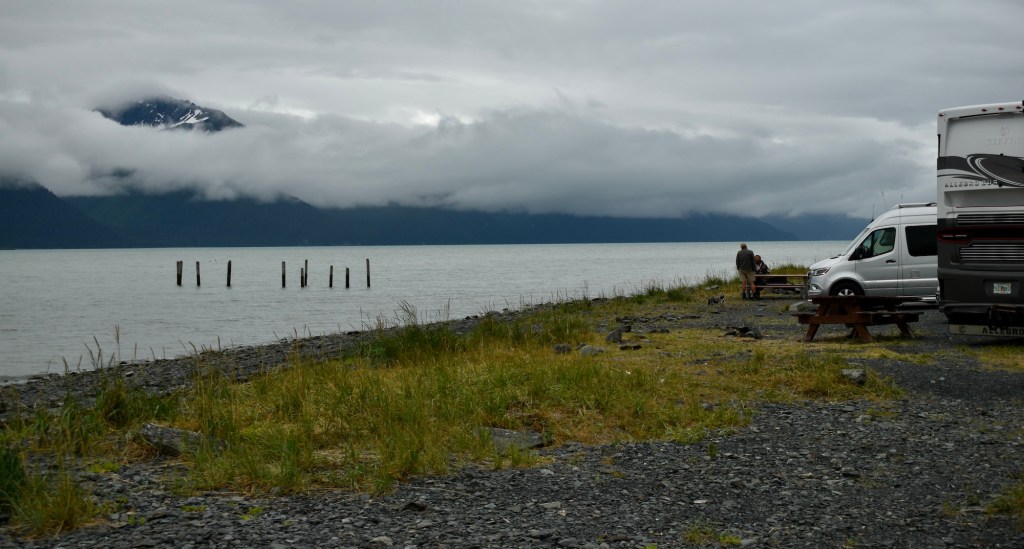
On July 15 we all moved from Hope to Palmer, Alaska, a central location for shopping, laundry, golf, and day trips, especially suitable because a rainy stretch of weather was predicted.
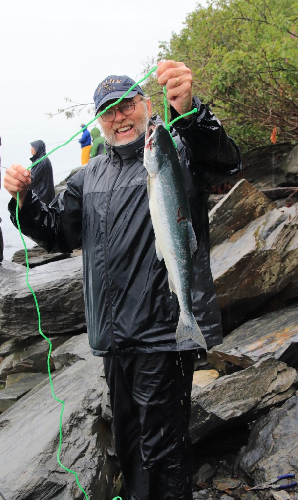
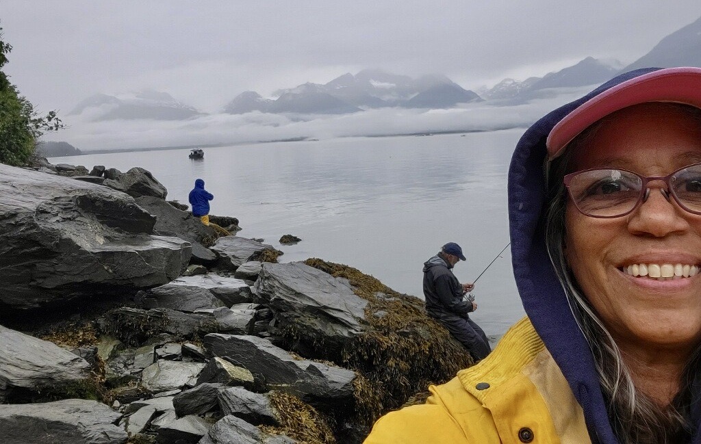
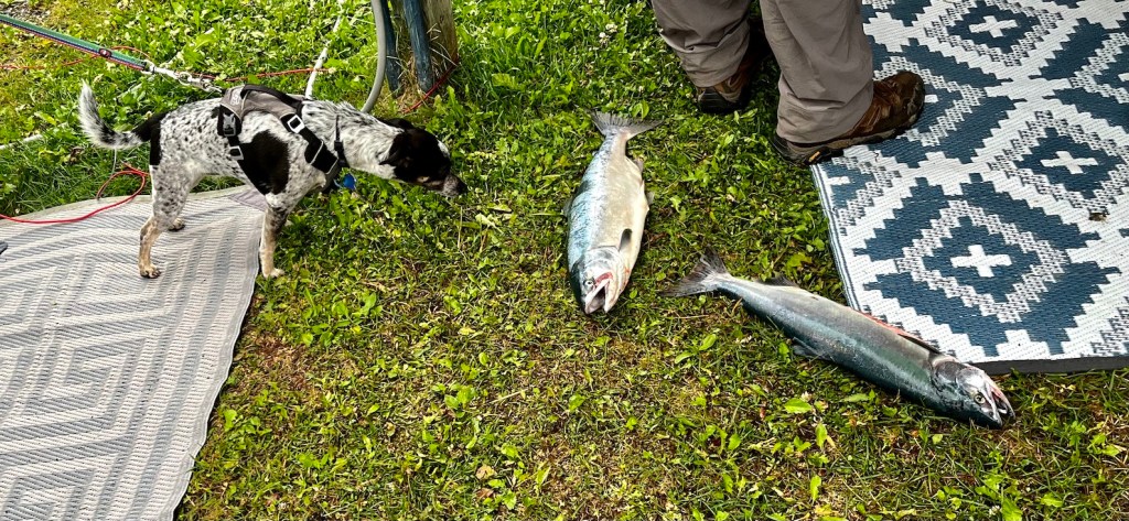
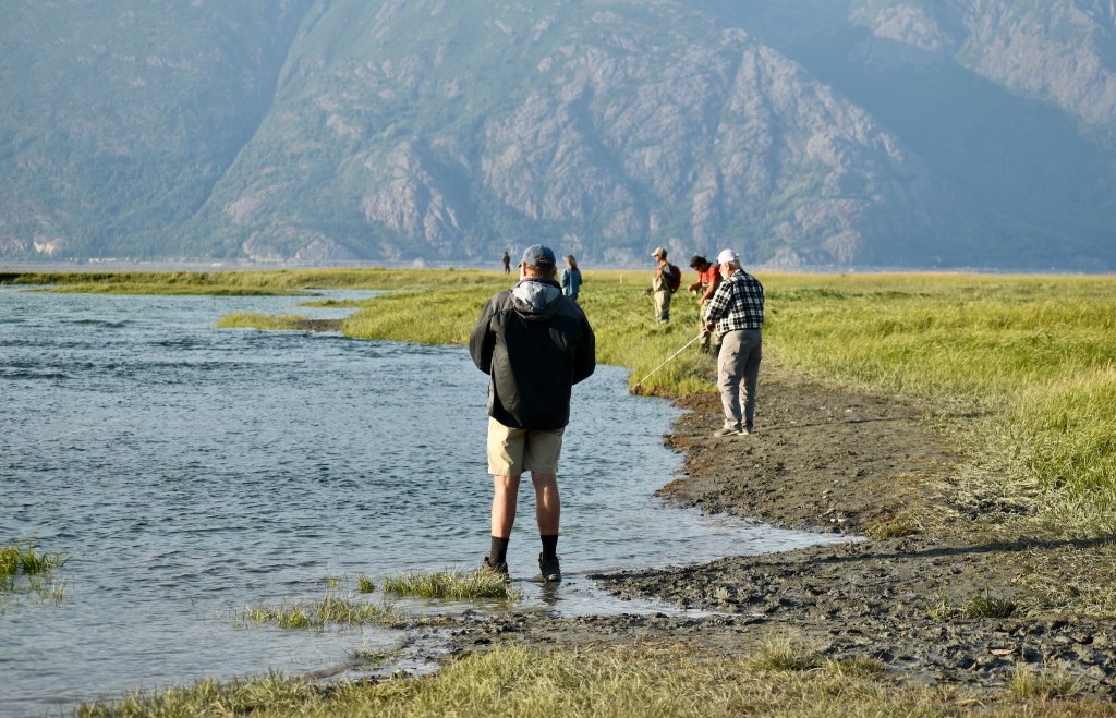
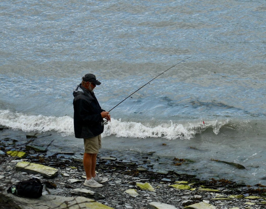
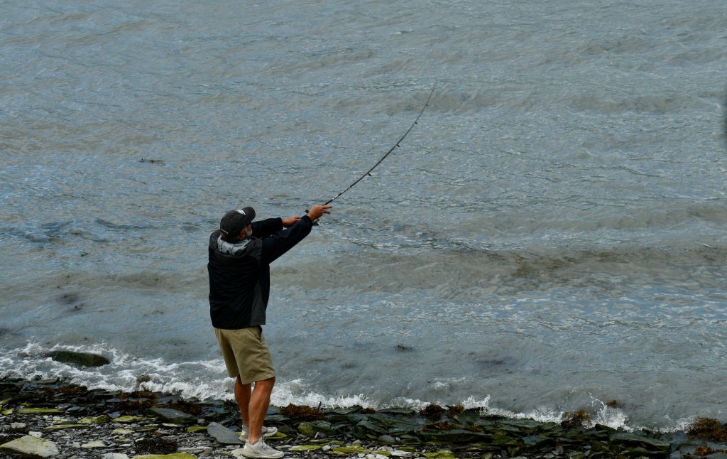
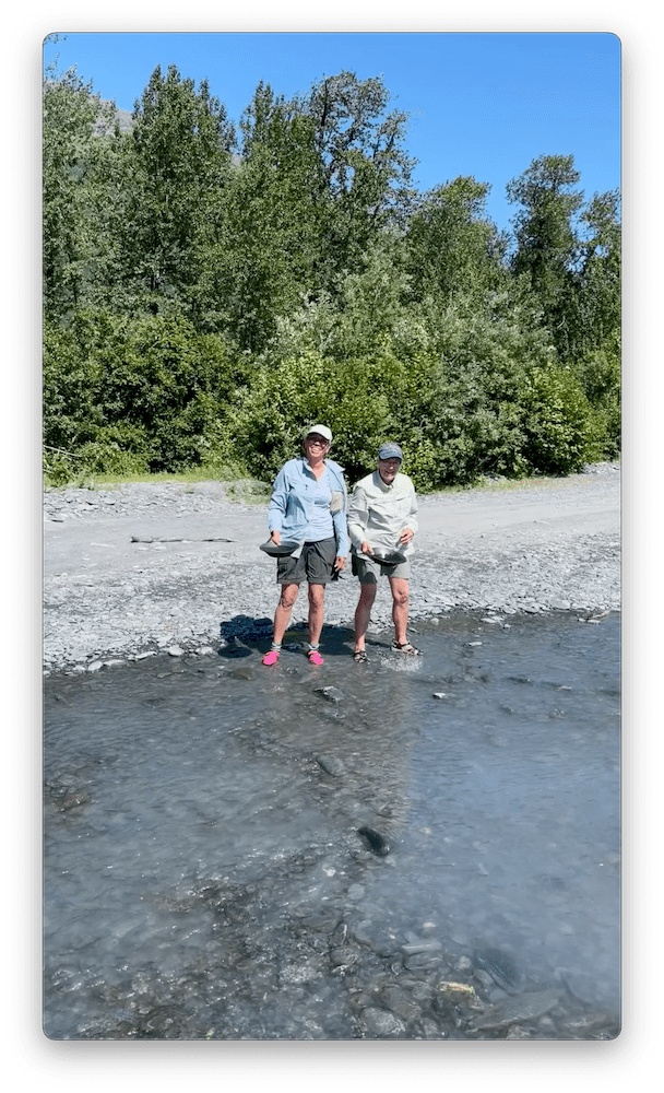
On Sunday, Cheryl, Doug, and Dee headed to Valdez (four hours), fished (four hours), and drove back to Palmer (four hours). Reminded me of driving 60 miles to go swimming in Jackson Hole as a live in babysitter many years ago! Success! Three pink salmon! So Doug was no longer a fisherperson virgin!
Dee, Doug, Cheryl
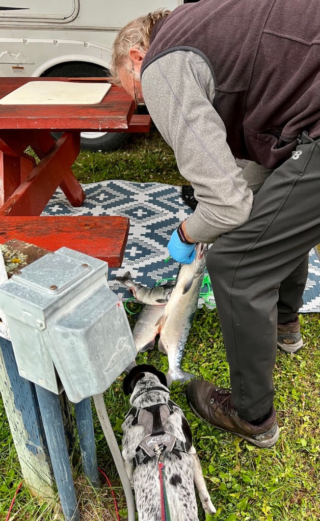
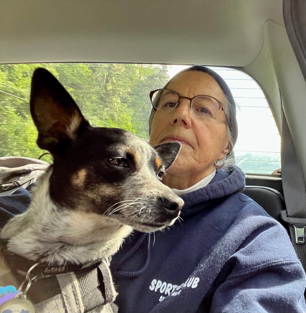
Lucee was very interested in the fish
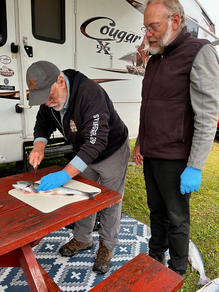
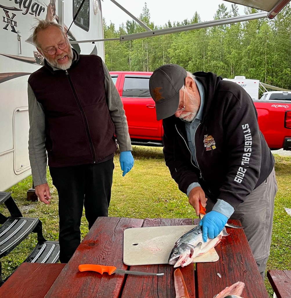
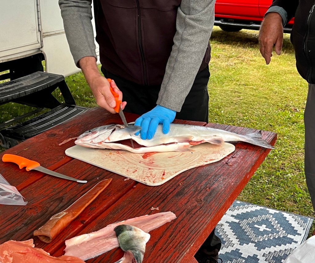
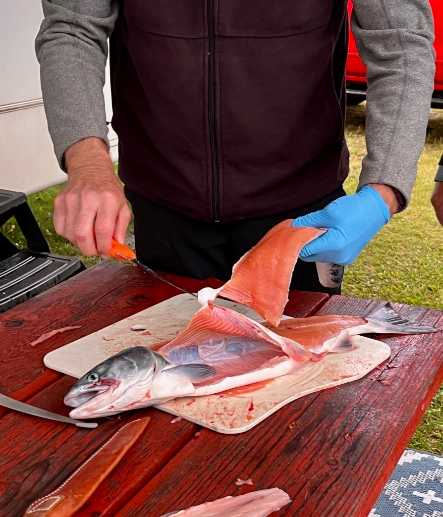
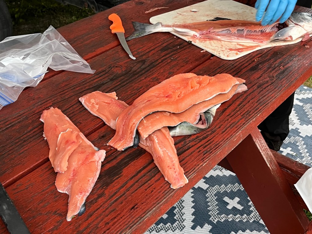
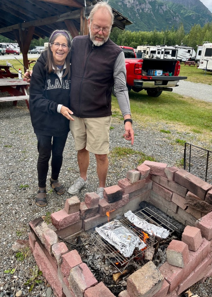
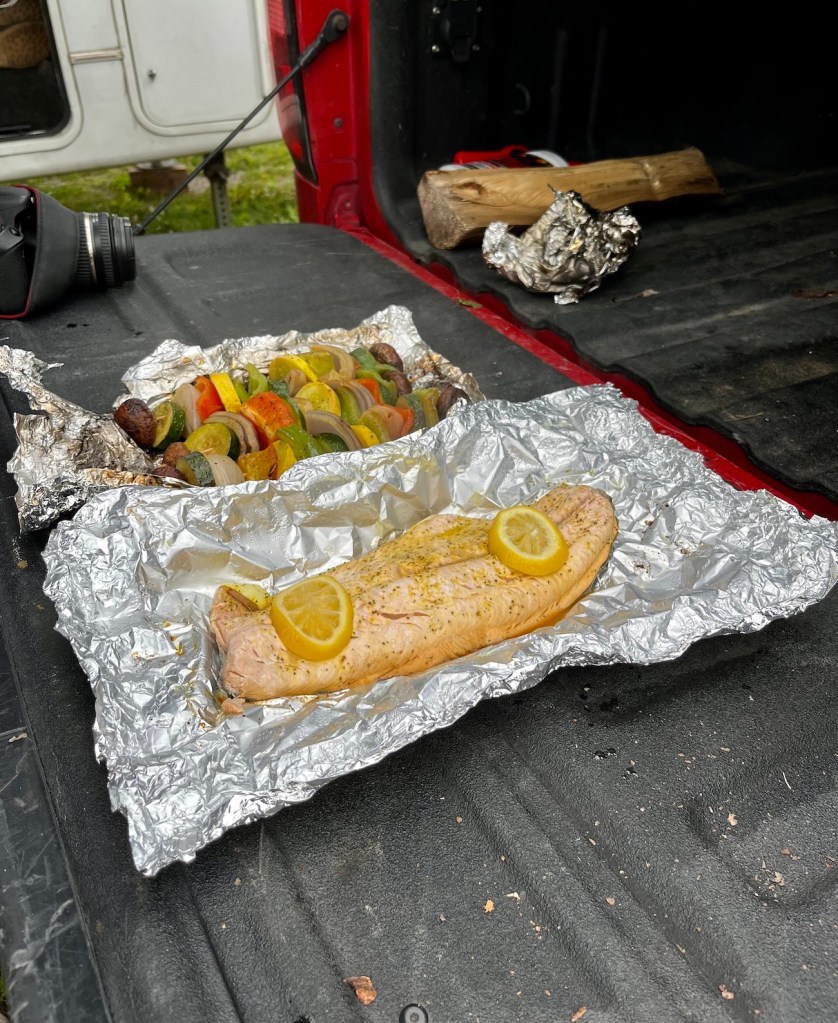
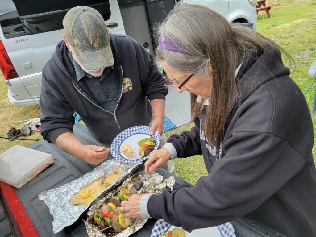
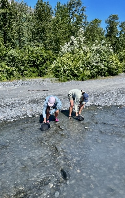
Dee provided excellent instructions on filleting the salmon, and Doug was a good student. We had beautiful fillets ready to cook! (Okay, I thought it was filet, too, but look it up!)
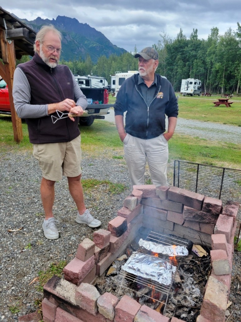
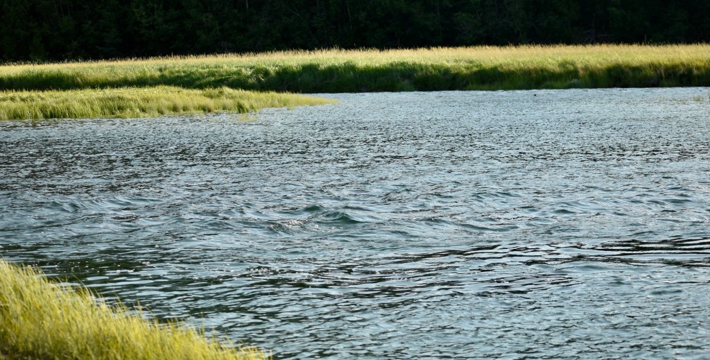
By the way, the above photos are taken at 10 pm Alaska time. No artificial light needed. We cooked the fillets the next day and they were delicious!
Tailgate Buffet
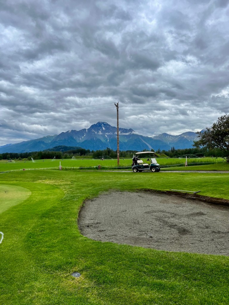
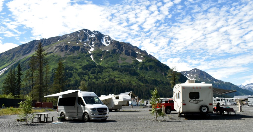
In spite of the weather, the campground Mt. View RV Park was nice and Doug and Dee got in a round of golf.
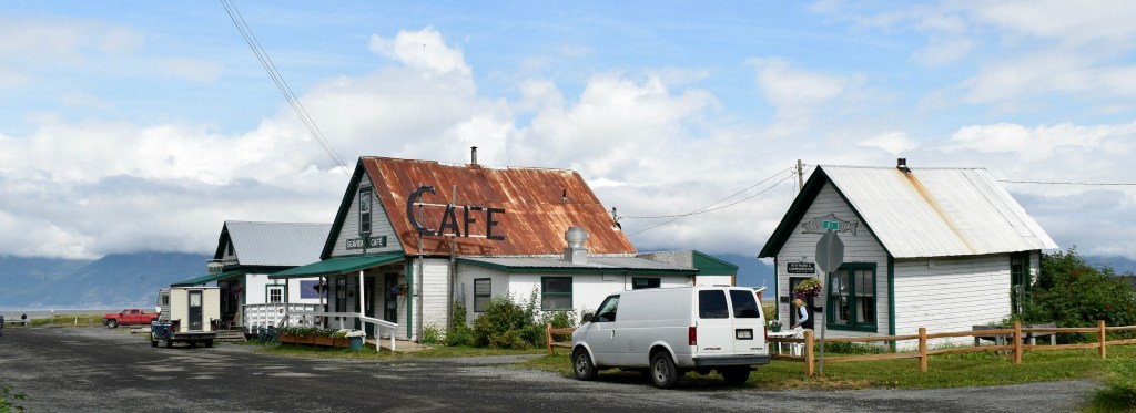
Amongst the shopping trips and laundry duty we had lunch at Turkey Red Greek Restaurant in Palmer where we spotted a sign quote we would use later in the trip: “Don’t trust a skinny chef”.
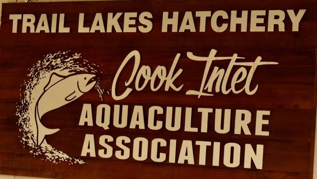
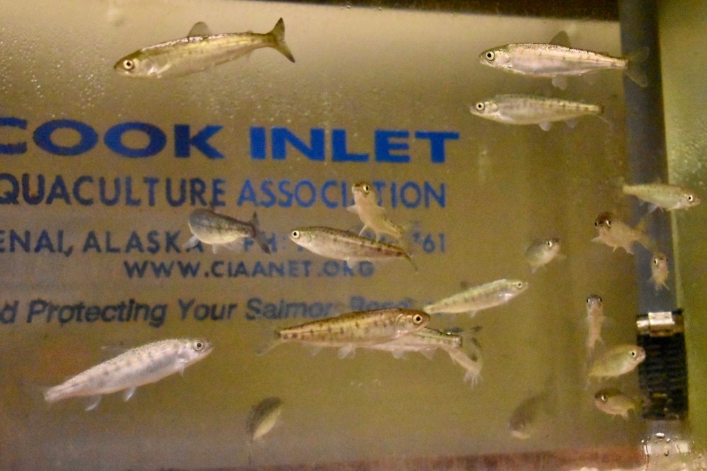
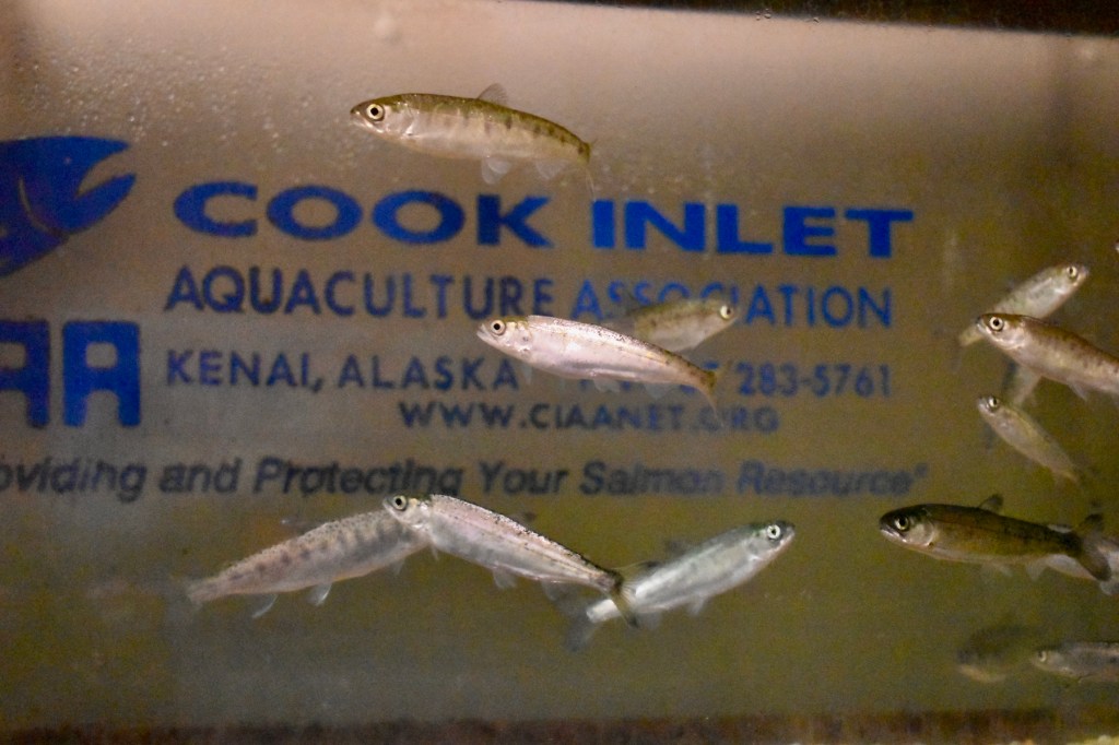
We left Seward to go to Hope on Thursday, July 14 and stopped at the fish hatchery on Moose Creek. There was not much to see that day, as the Hatchery Administrator apologized, but she was very friendly. We asked about her background and surprise, she grew up in Stetson, Maine and graduated from Unity College! She arrived as an intern and in a short time had become the administrator. She had never had anyone else from Maine identify themselves, so she was pleased and surprised. The hatchery supports the sport fishing industry and was privately funded. It’s a 24/7 job to keep the young fish alive through power outages.
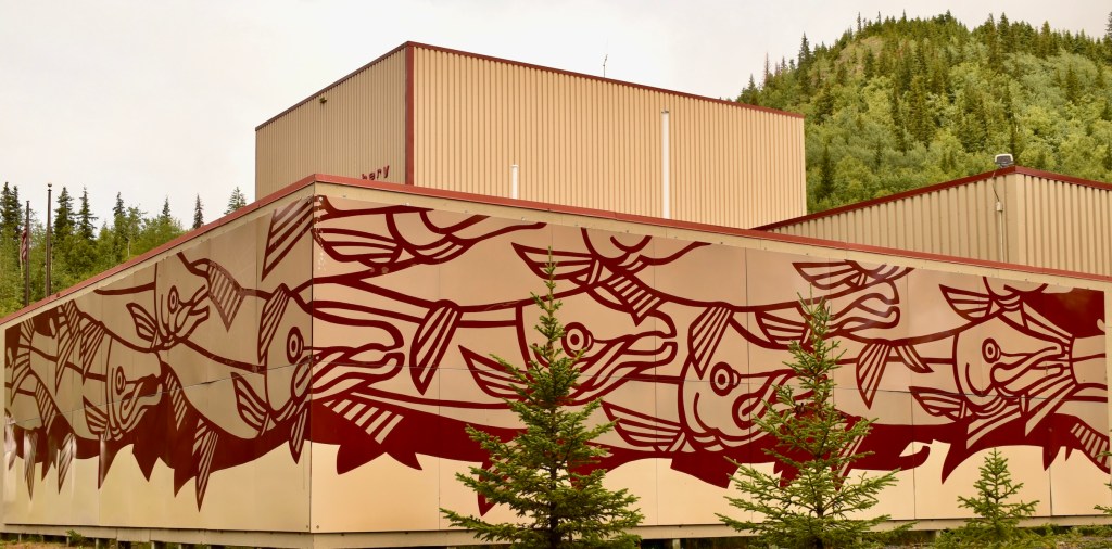
There are a lot of murals in Alaska, and this one is interesting.
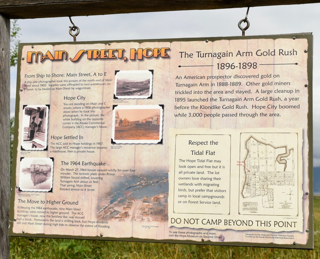
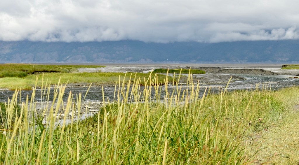
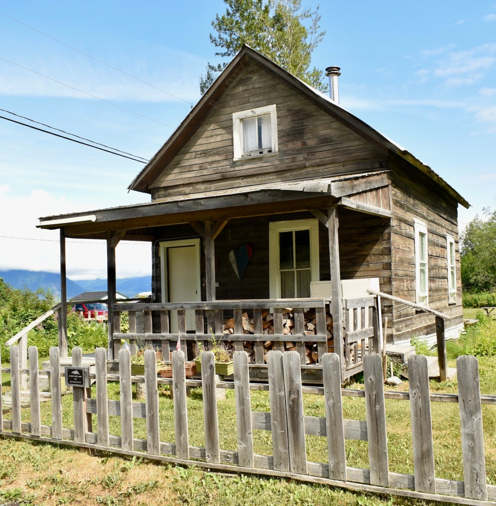
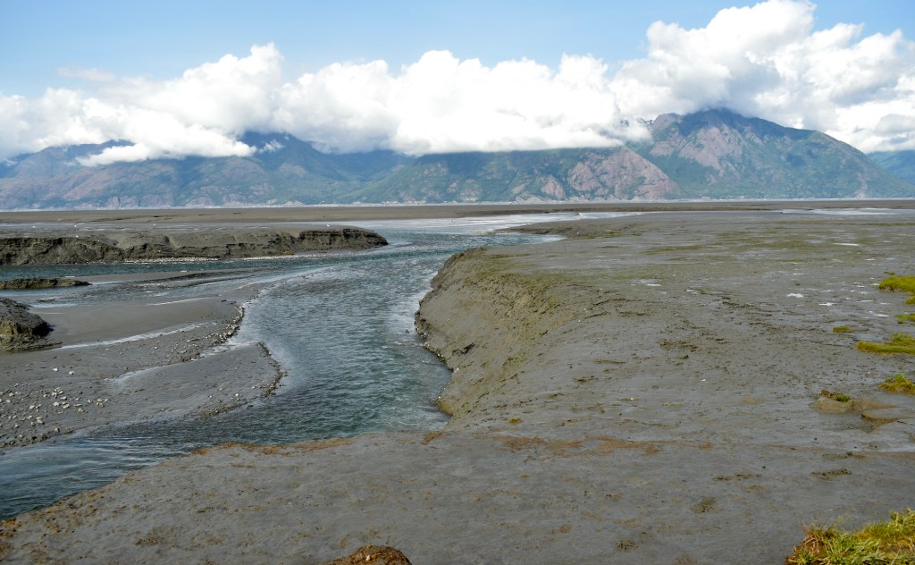
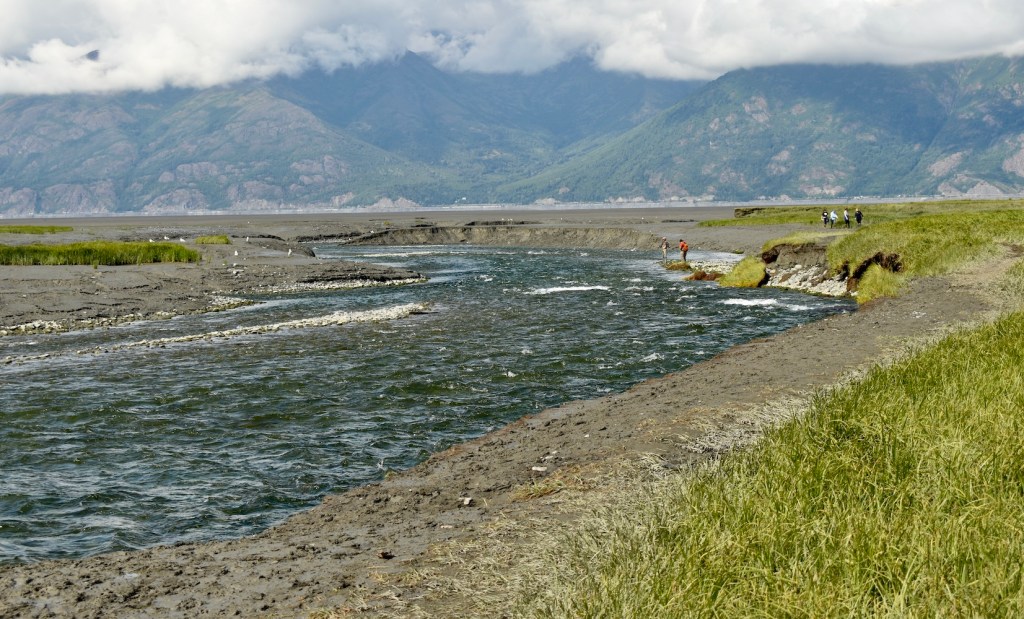
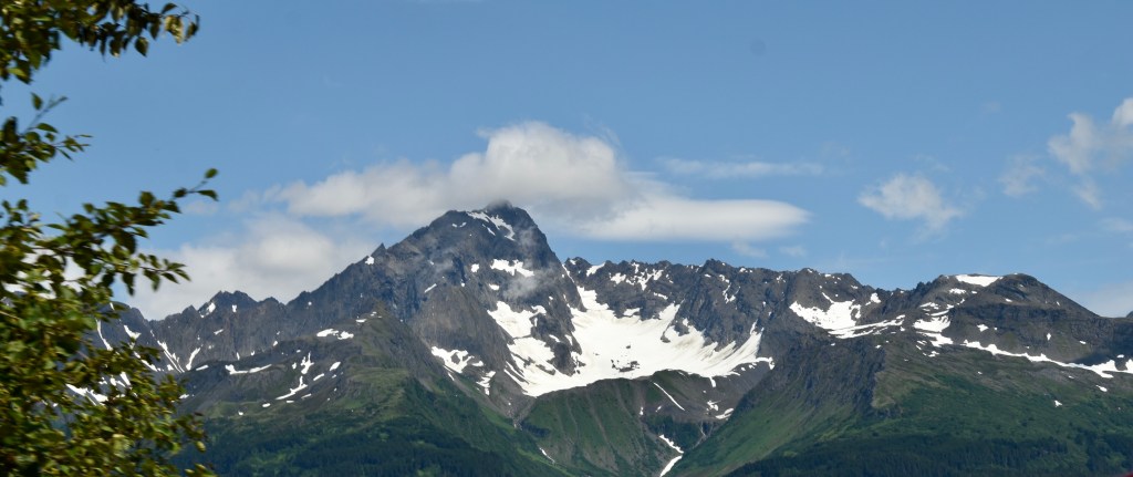
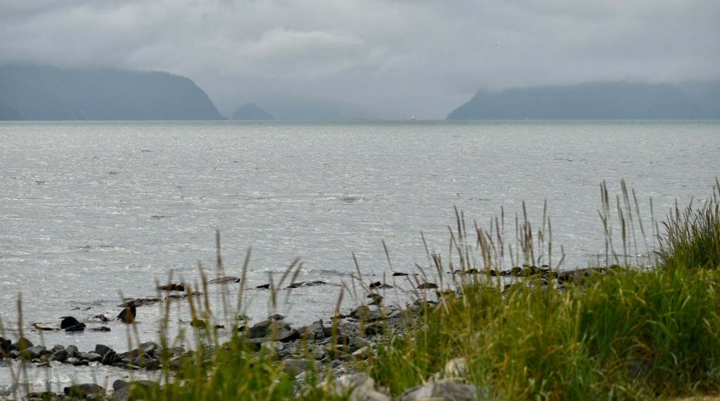
Hope is a fun little town that seems stuck in time. It is located on Turnagain Arm, where the tides are second only to Fundy Bay. The bore tide was fun to watch, even though it was not particularly high. Turnagain Arm is south of Anchorage and empties into Cook Inlet.
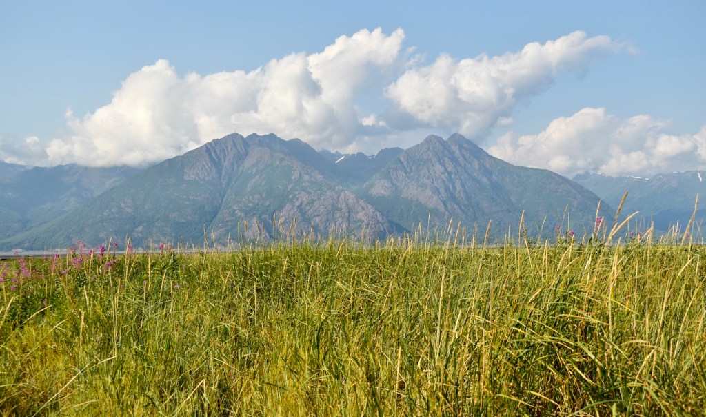
Clear enough to see the Chugach Mountains to the north of Turnagain Arm
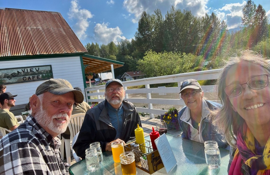
Late Lunch at SeaView Cafe
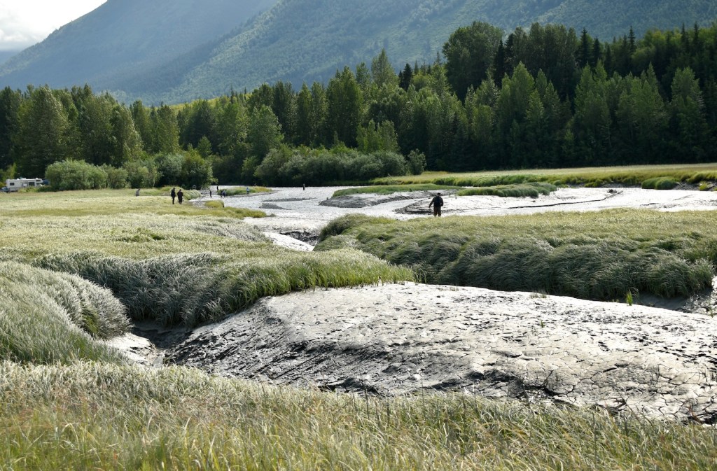
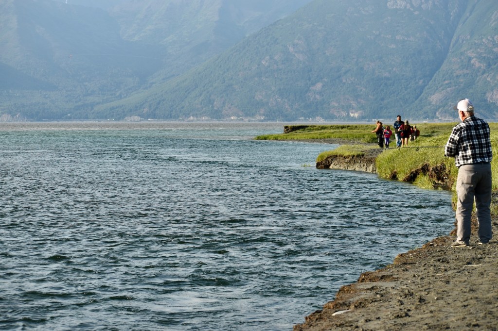
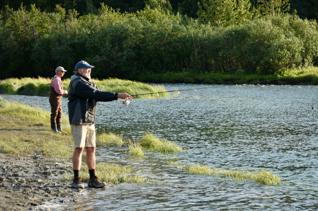
Then back to fishing on the rising tide.
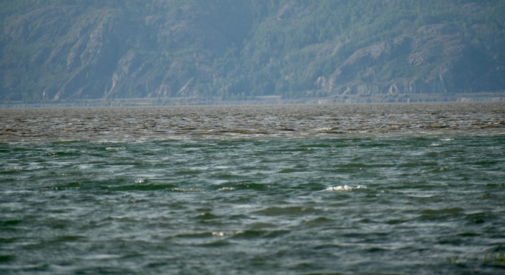
The current line of the incoming tide is clear.
Current
On Friday we left Hope. On the drive north we circled Turnagain Arm and viewed it from the north.
Swans, most likely trumpeter, because I can’t see any yellow near their eyes. But they are pretty far away.
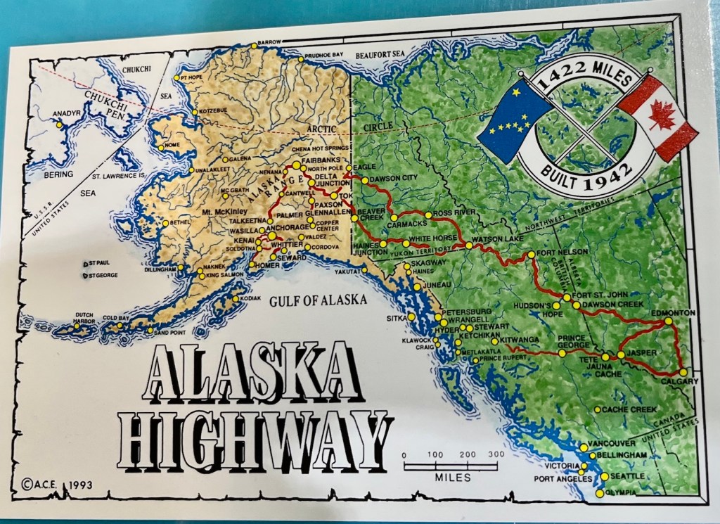
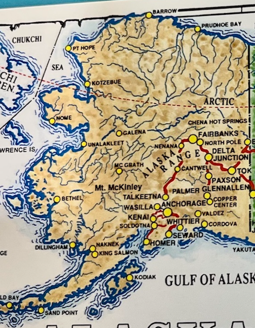
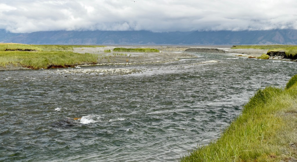
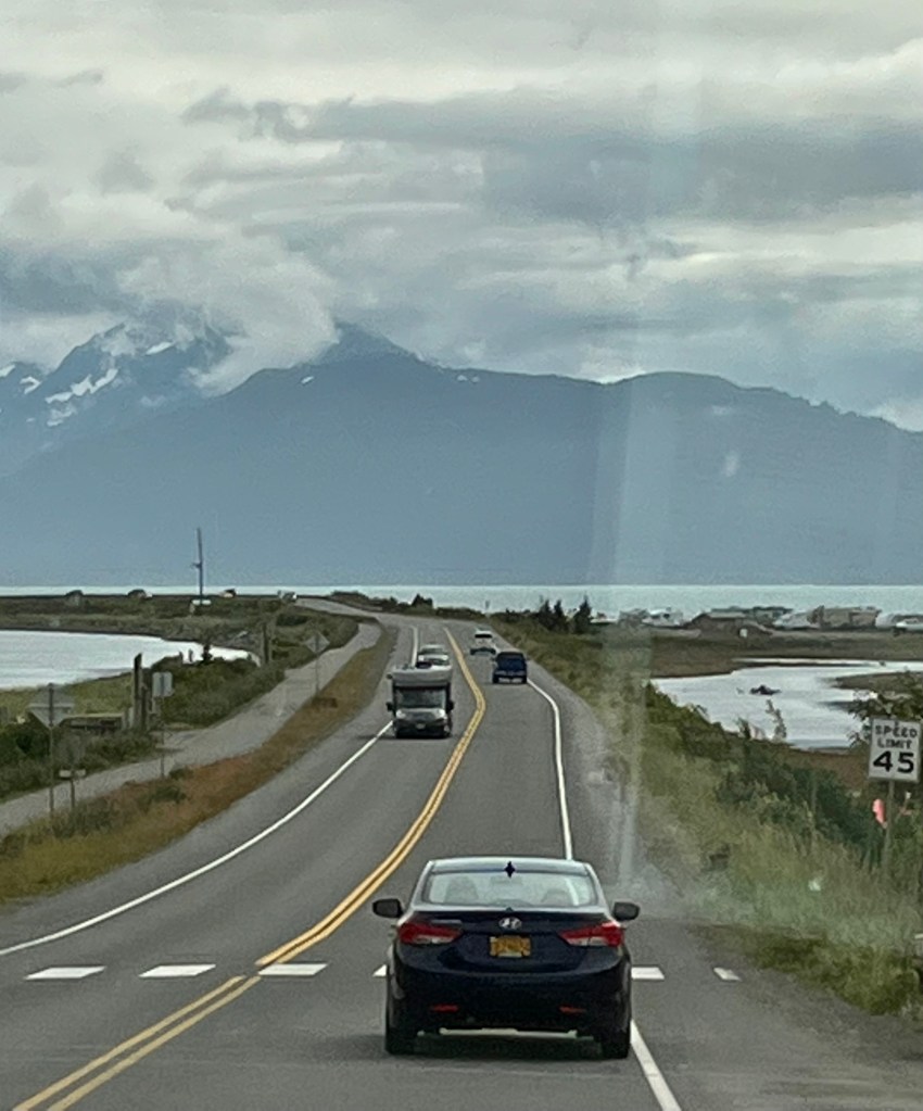
We toured the Kenai Peninsula from Seward to Soldotna and Homer for a day. The route is visible on the map below and is known as the Sterling Highway.
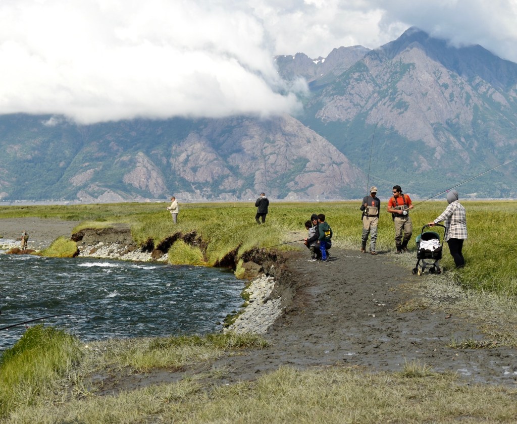
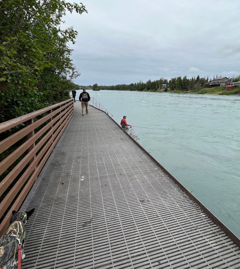
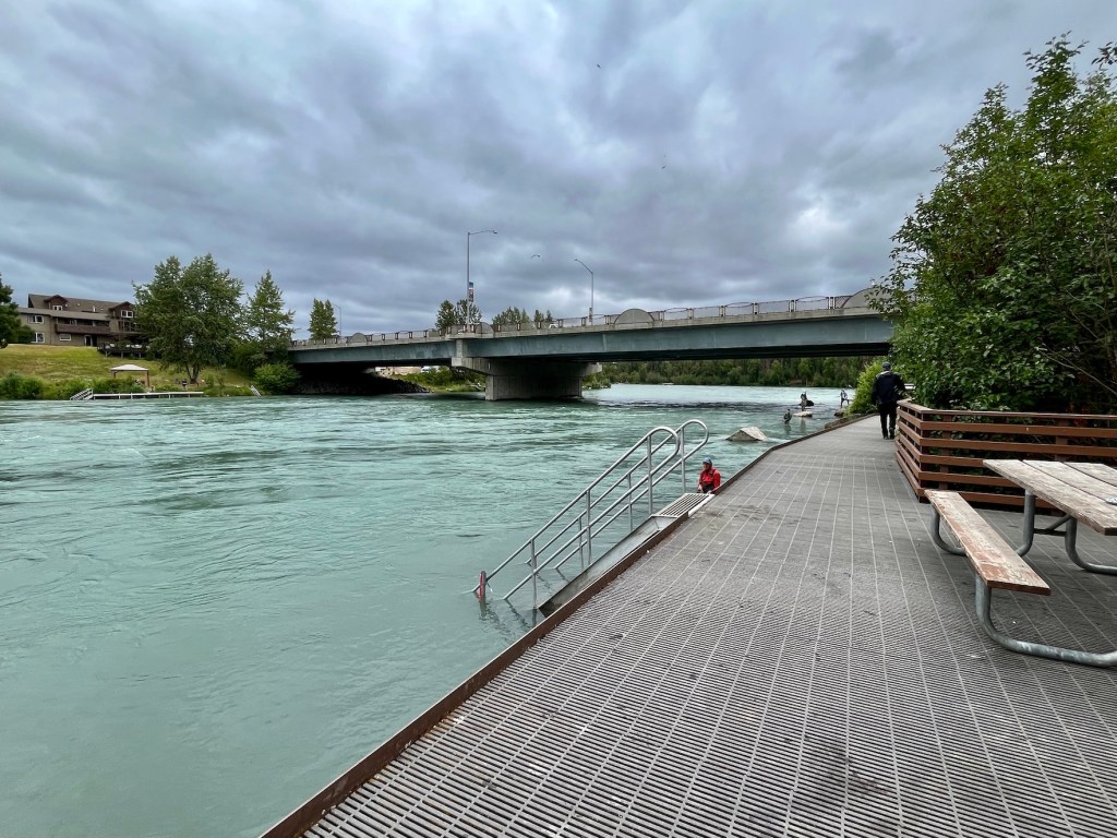
There was a county fair at Soldotna Creek Park where we stopped for lunch, and we toured the Fishwalk along the rapid flowing Kenai River. No catches were observed!
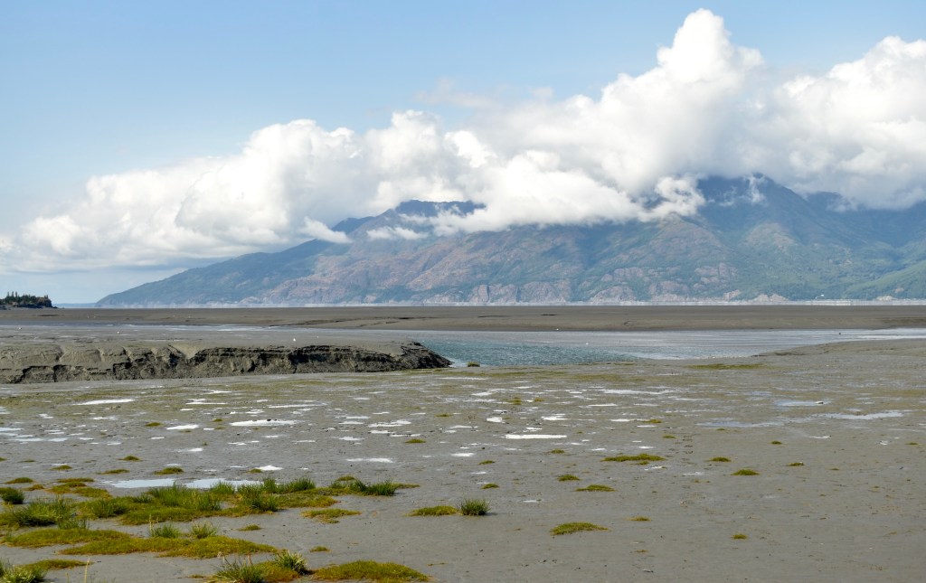
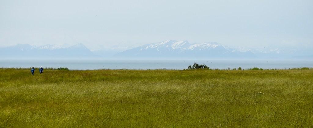
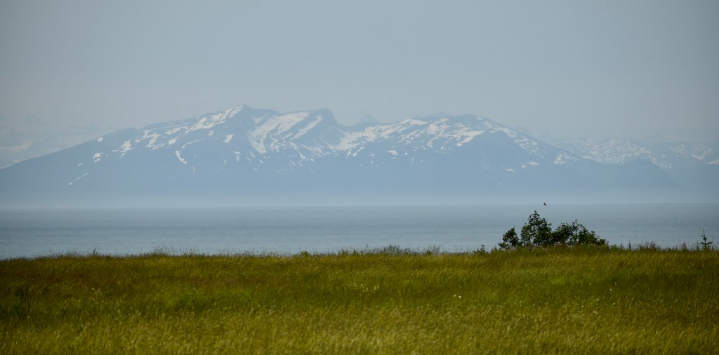
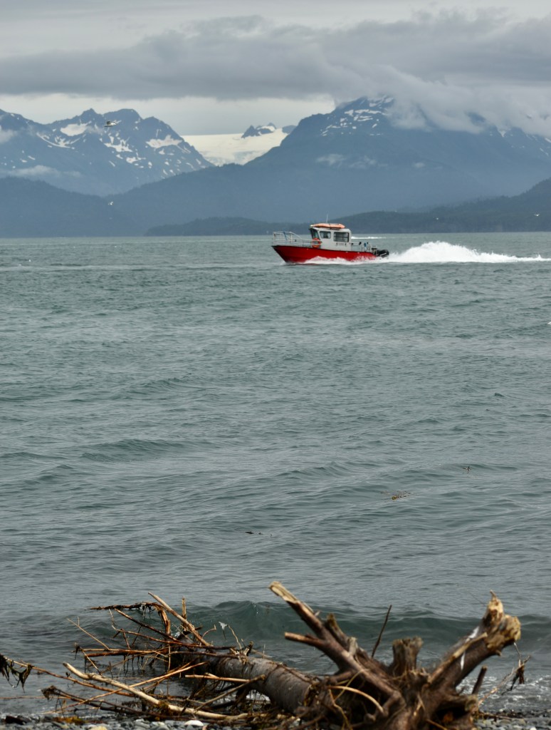
The views to the west across Cook Inlet to the Chigmit Mountains in Lake Clark National Park and Preserve are striking. Beautiful and seemingly totally uninhabited.
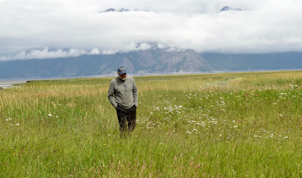
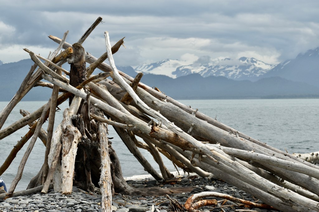
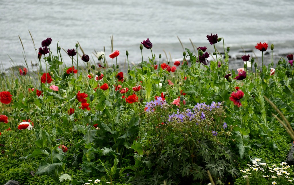
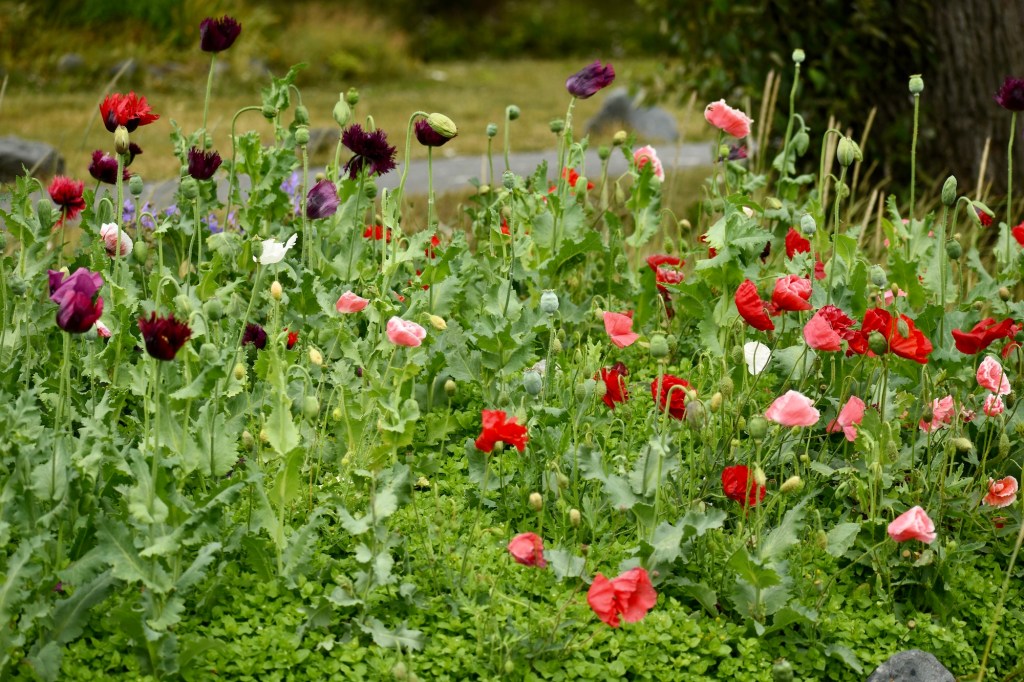
The flowers everywhere, wild and in containers and gardens, are lush due to the 20+ hours of sunlight.
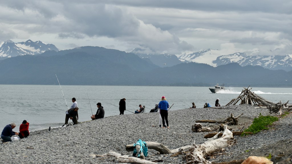
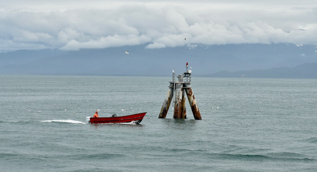
Looking south over Homer to the Kenai Mountains on the most southern part of the Kenai Peninsula.
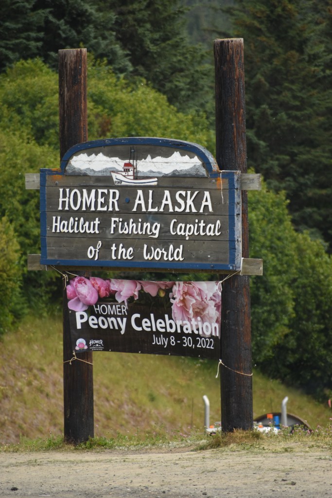
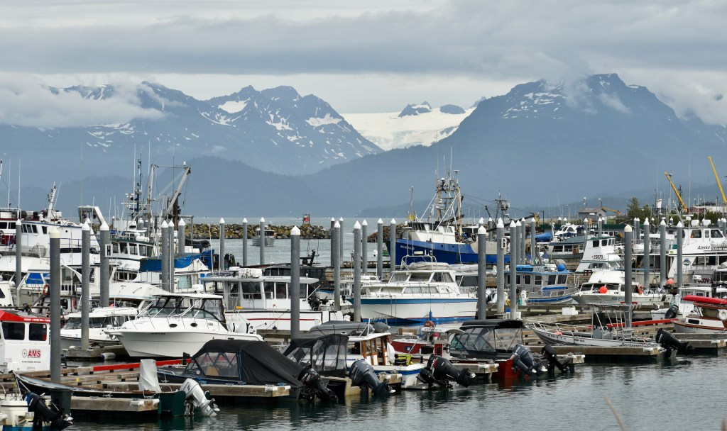
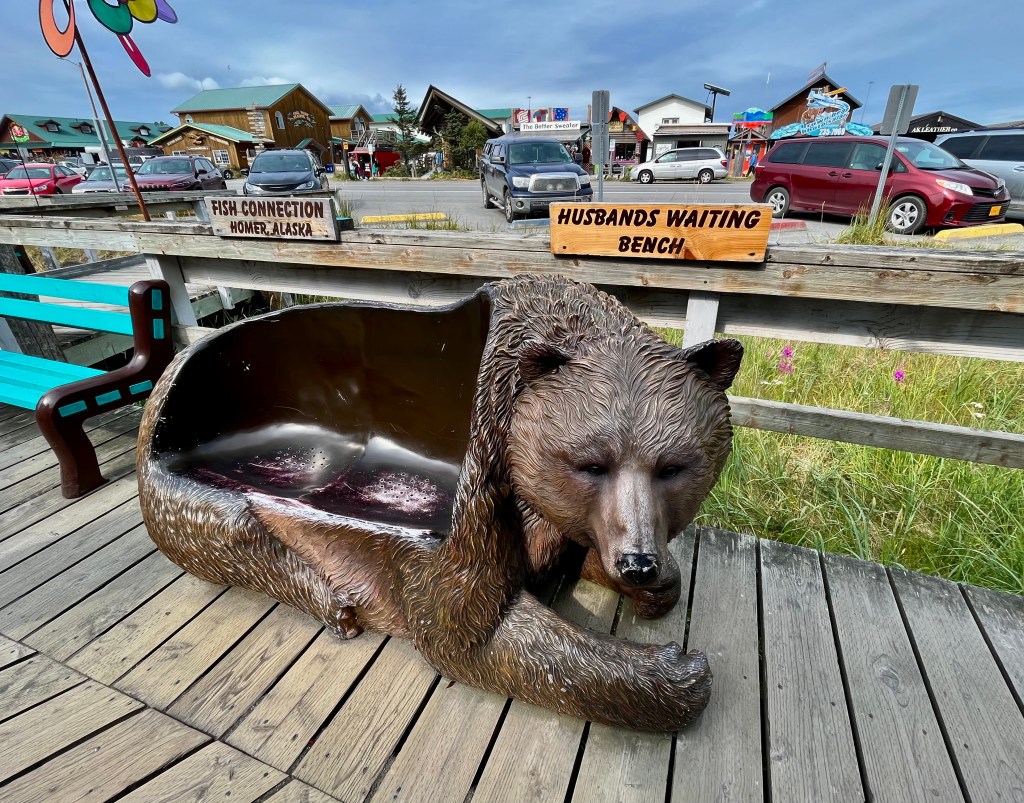
The Town of Homer was anything but uninhabited; better compared to OOB or Ocean City. Homer Spit is a 4.5 mile bar of gravel. After the 1964 earthquake it sank more than 4 feet, so must be narrower, but it is a major port and tourist attraction.
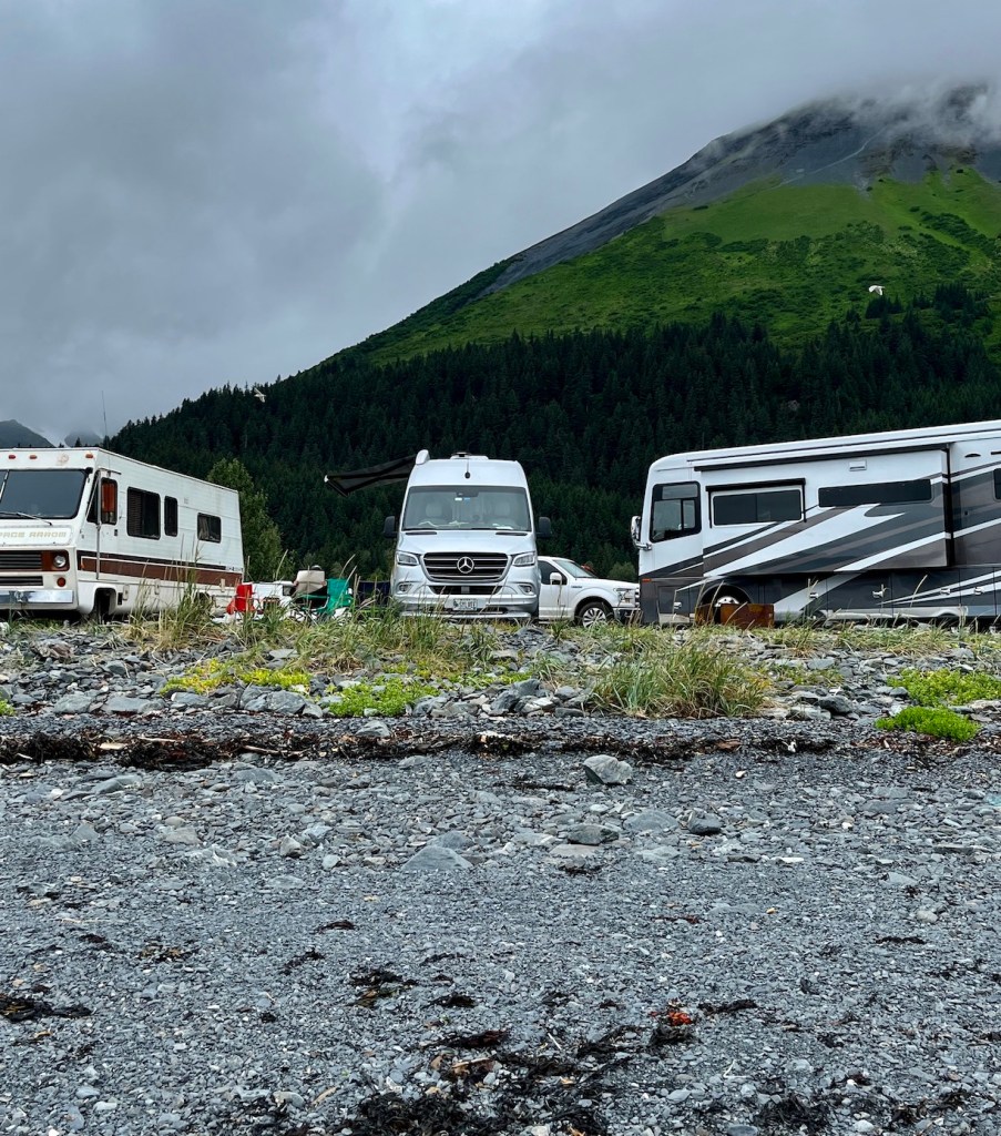
Campers lined the beaches on both sides of the spit
Just a bit of the huge harbor
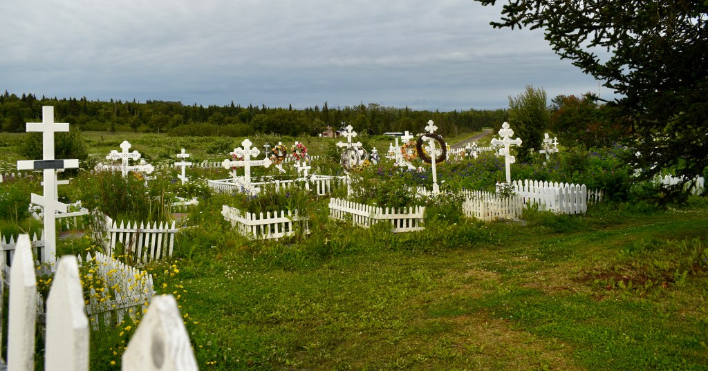
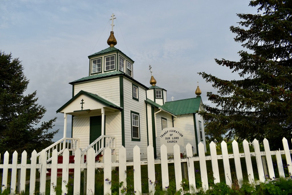
Definitely a tourist shopping town. We did have a delicious dinner at The Fish House.On our return trip we visited an old Russian Orthodox Church in Ninilchik with a beautiful view.
The locations of signs indicating issues with the road were mysterious. Why this bump and not that one? Why this layer of gravel and not that one?
There was no room at the campgrounds in Hope, so we dismissed ourselves from school and headed for Seward and its KOA. Cheryl and Doug made a fine spaghetti dinner.
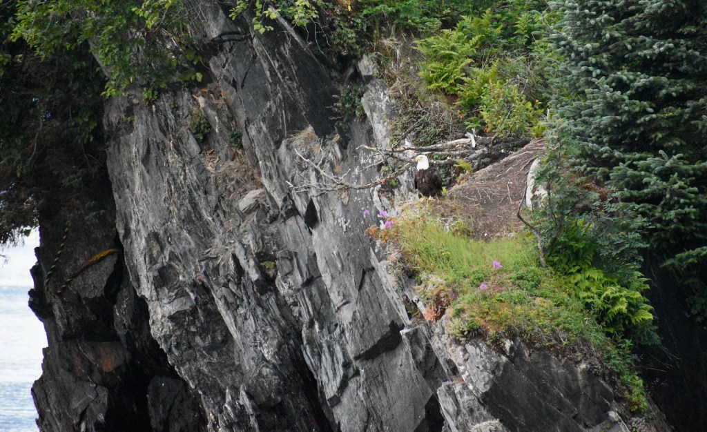
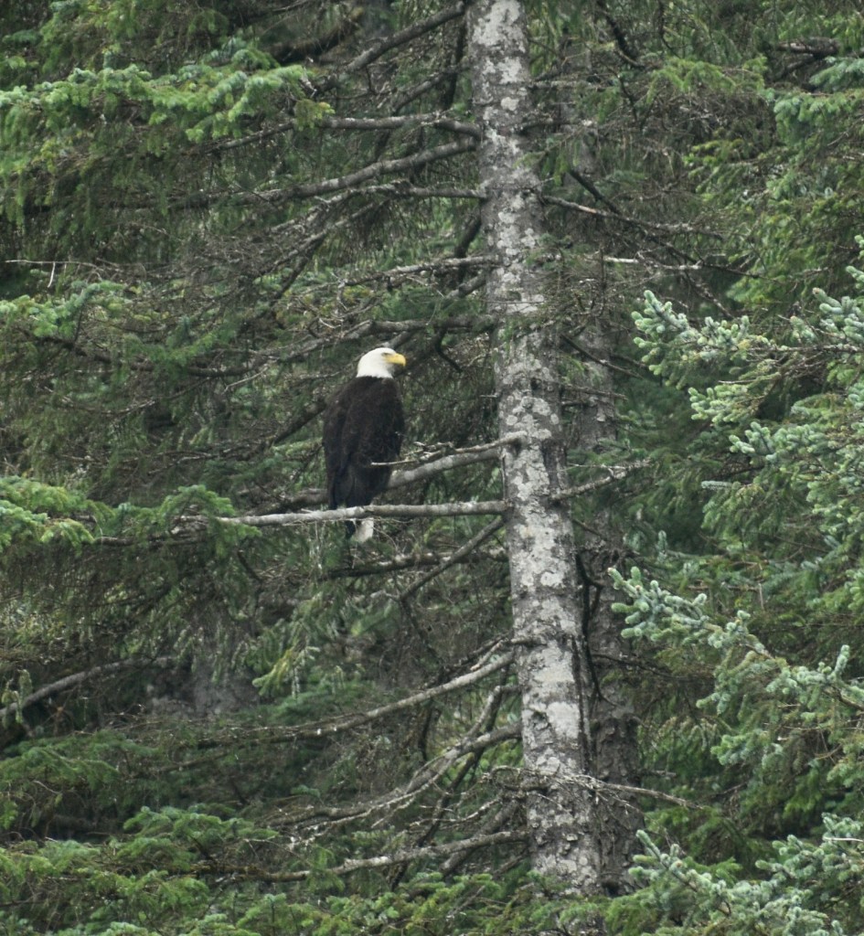
There is an eagle’s nest right over the campground.
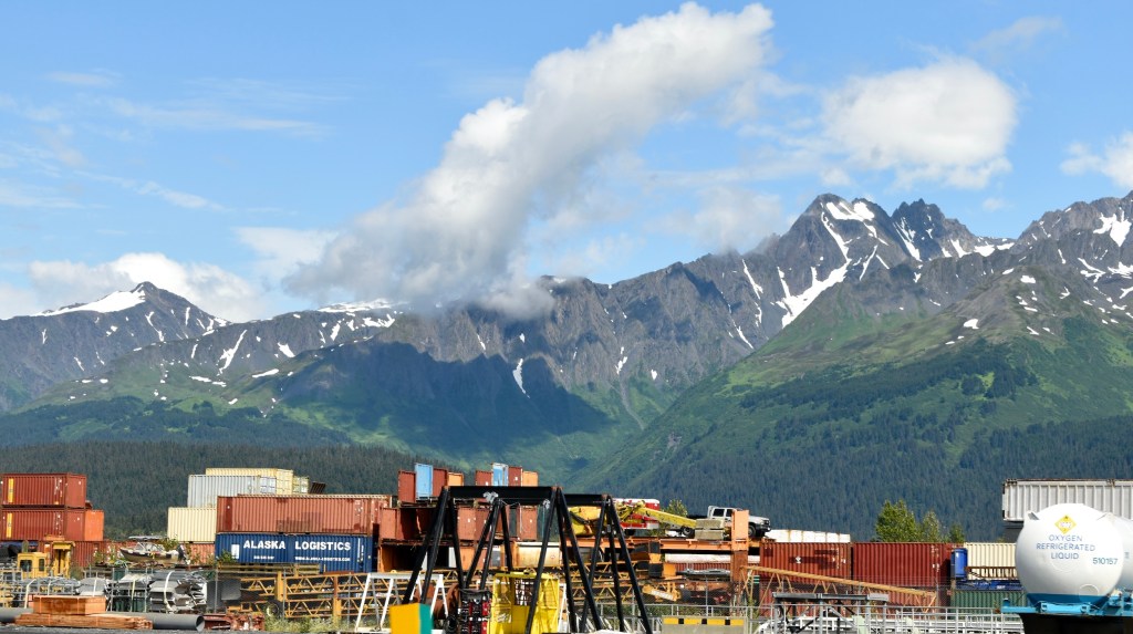
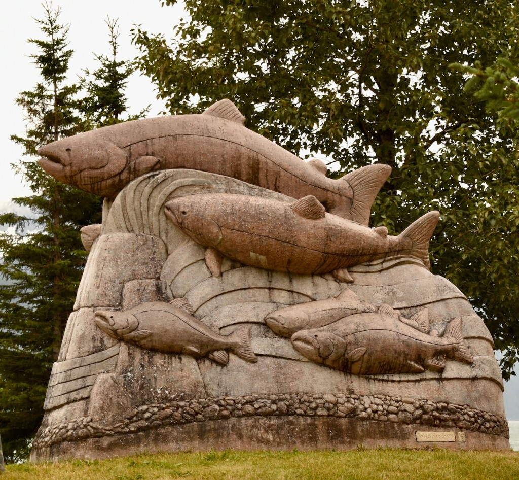
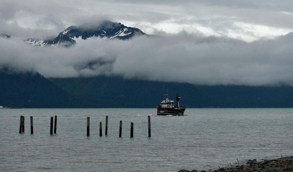
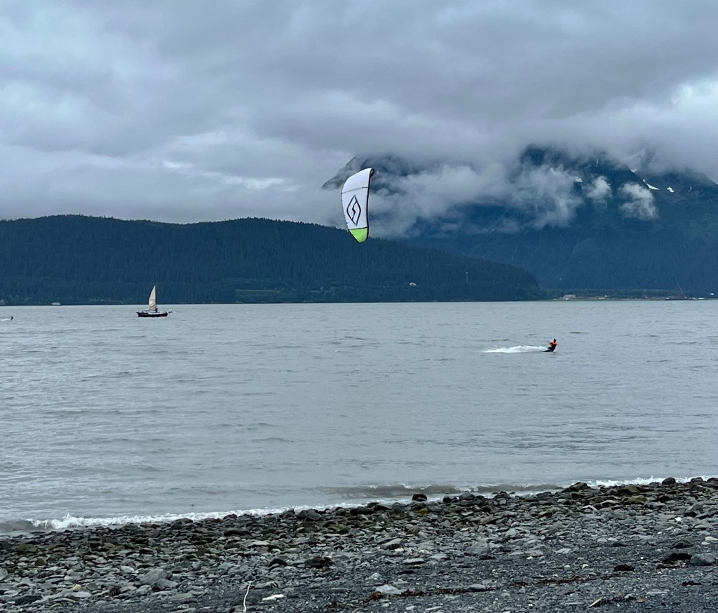
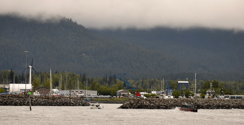
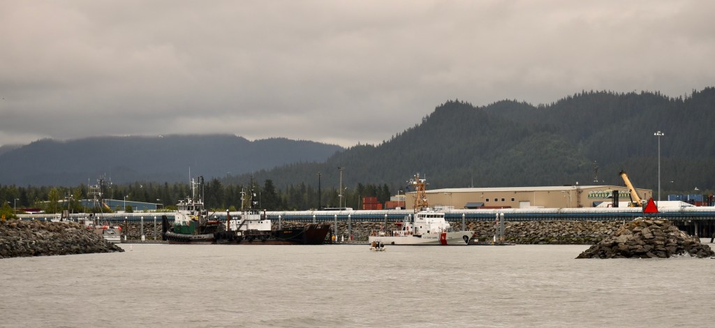
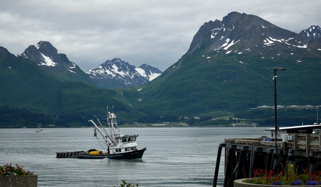
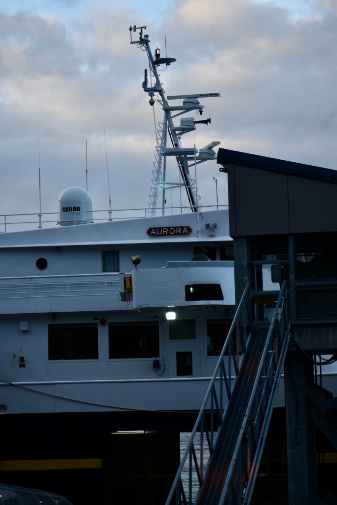
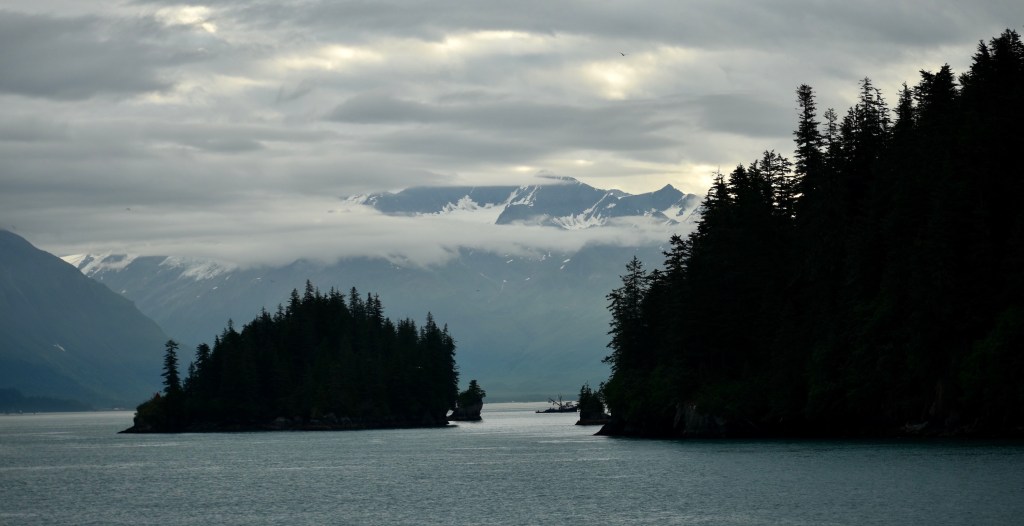
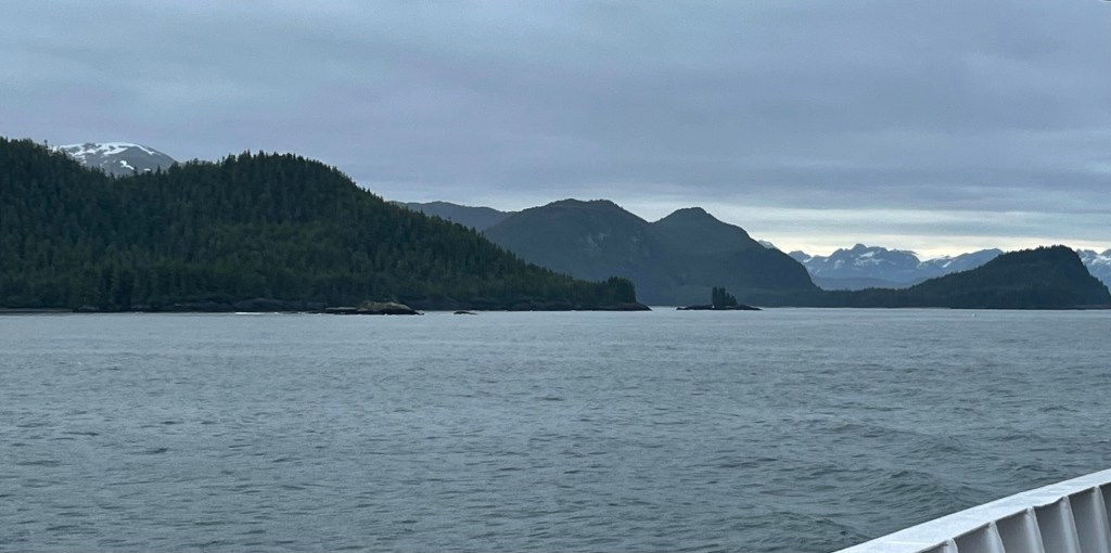
Seward, on the Kenai Peninsula southwest of Prince William Sound, is another busy port on Resurrection Bay.
Here is the map again, enlarged to show a portion of the Kenai Peninsula.
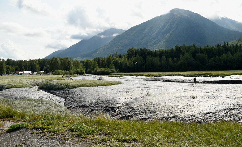
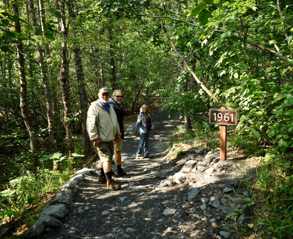
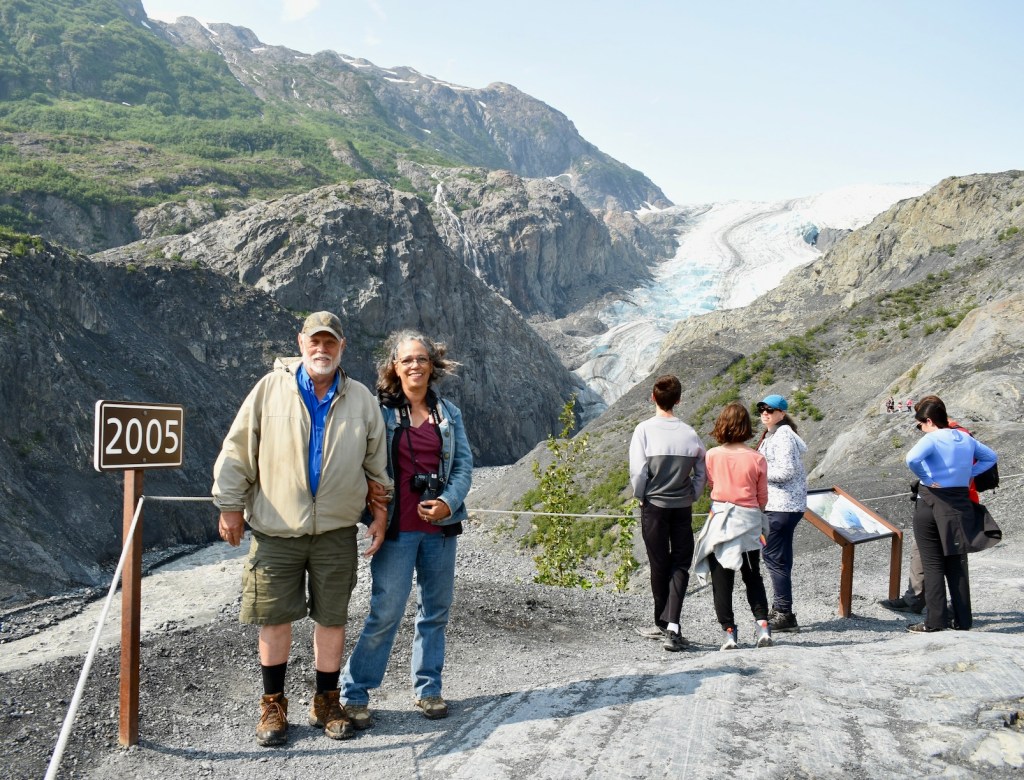
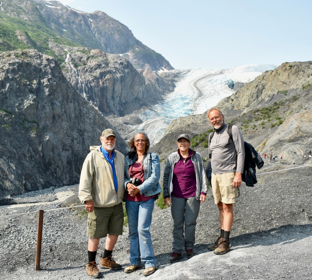
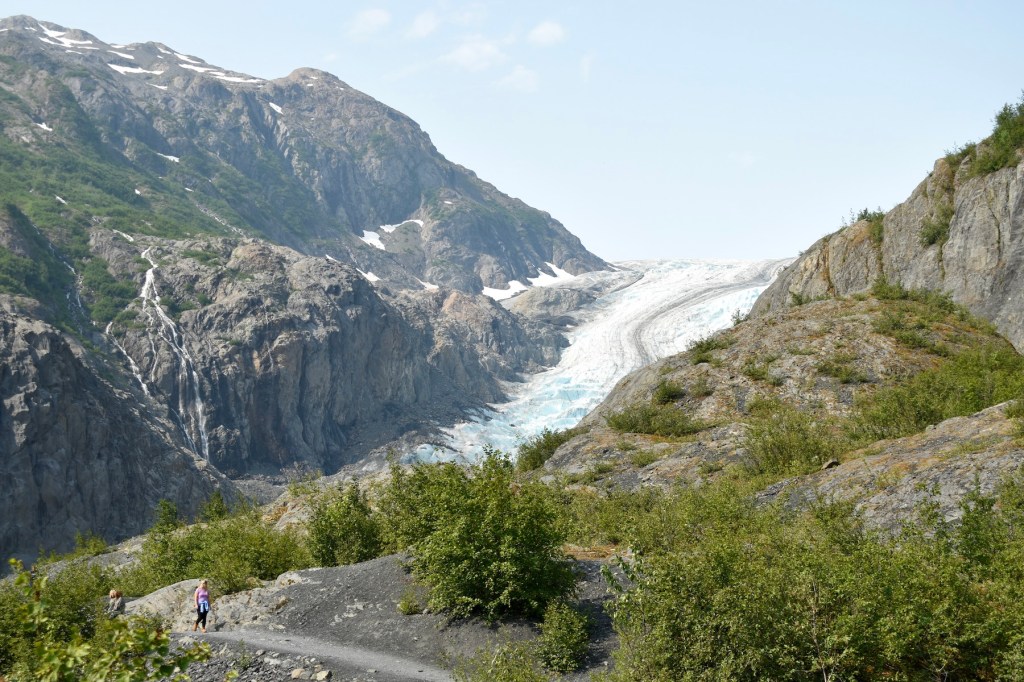
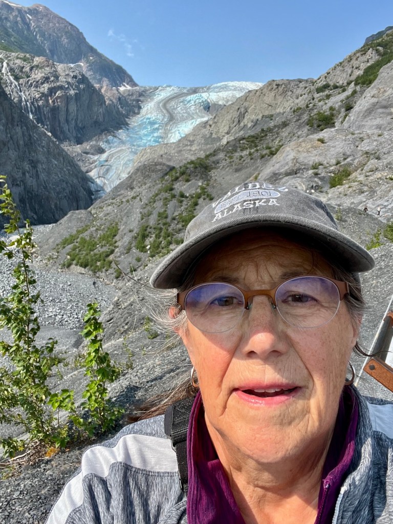
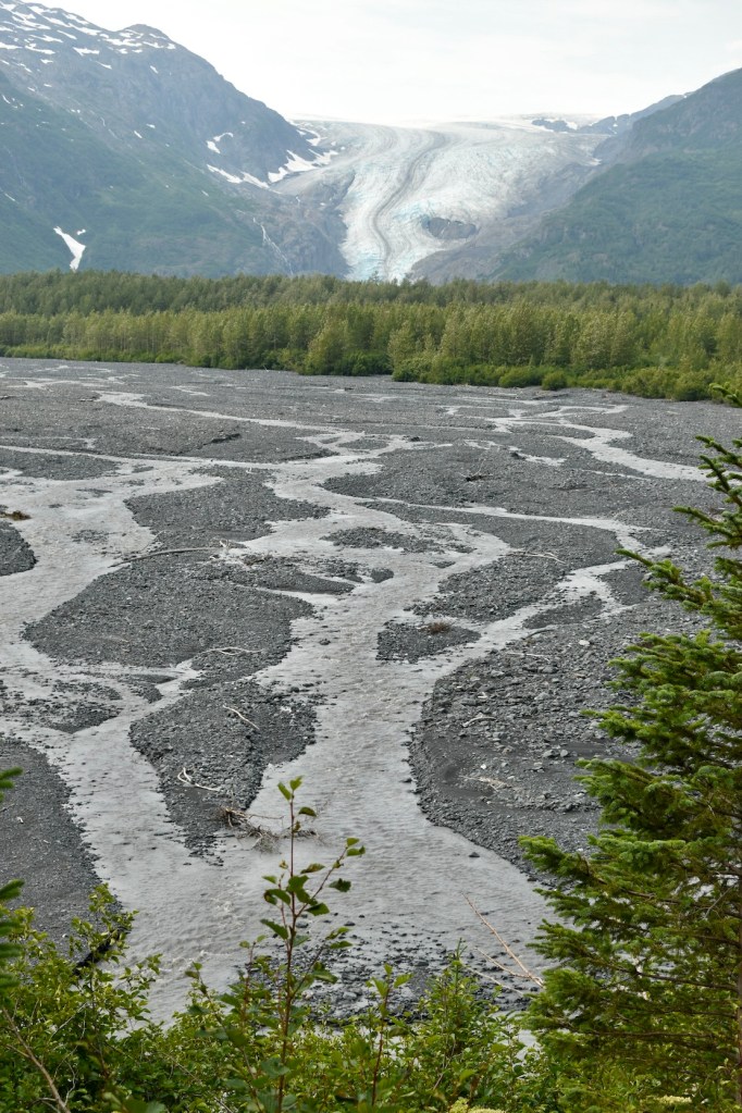
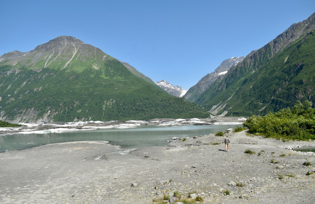
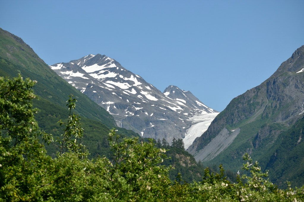
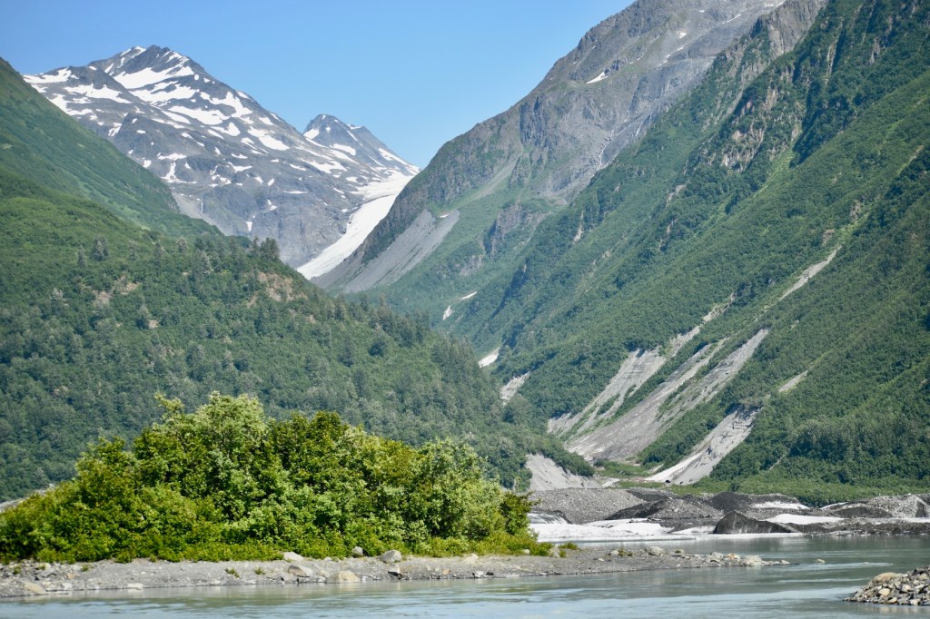
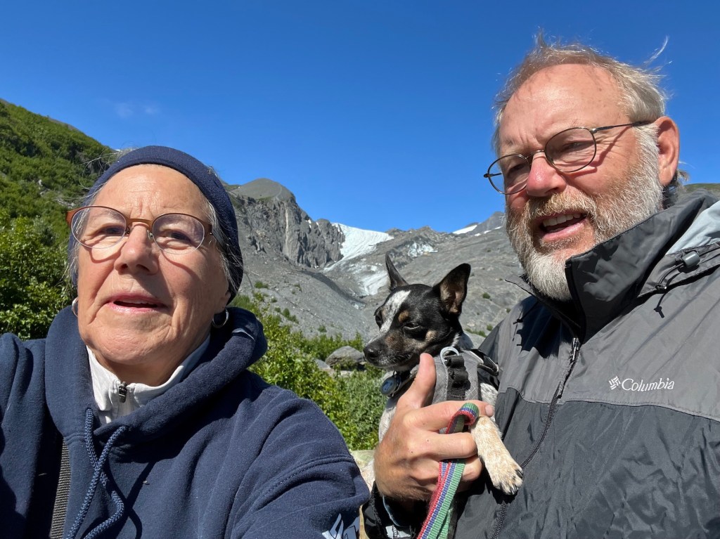
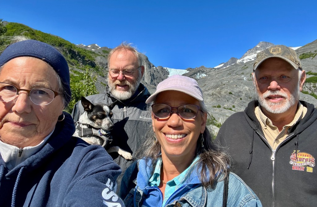
We hiked to the overlook of Exit Glacier in Kenai Fjords National Park. Along the way were signs of where the leading edge was located in various years. Dee and Cheryl were there and saw it in 2005.
Part of the Exit Glacier more than a century ago.
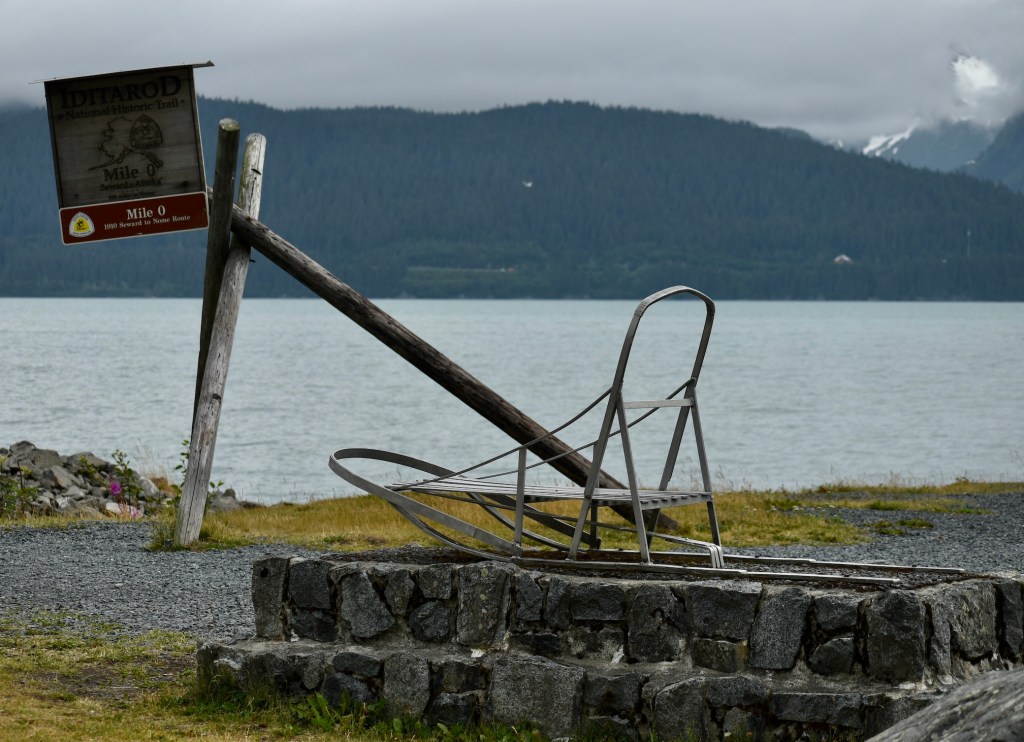
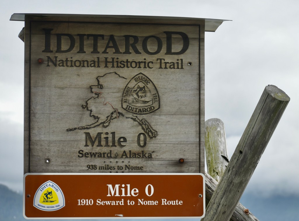
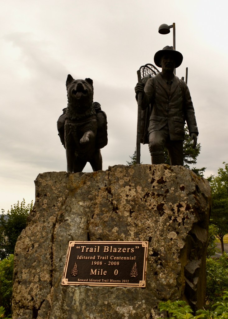
Seward was the original starting place for the Iditarod Trail, surveyed in 1910 for the mail route between Seward and Nome.
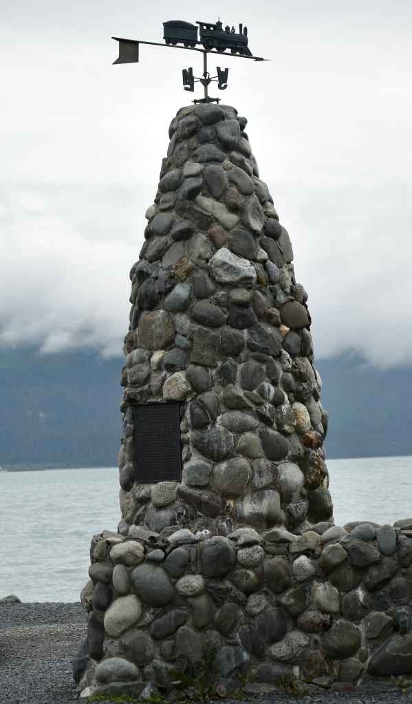
This commemorates the founding in 1903 of Seward as the ocean terminus of the Alaska Central Railway, a loss to Valdez.
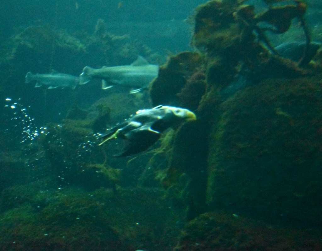
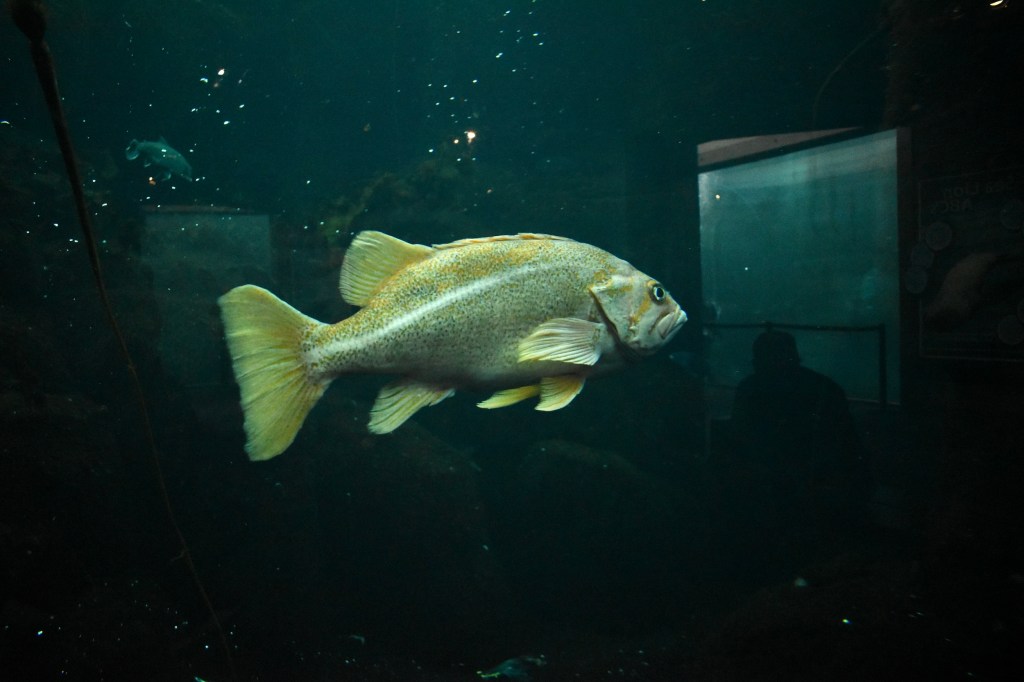
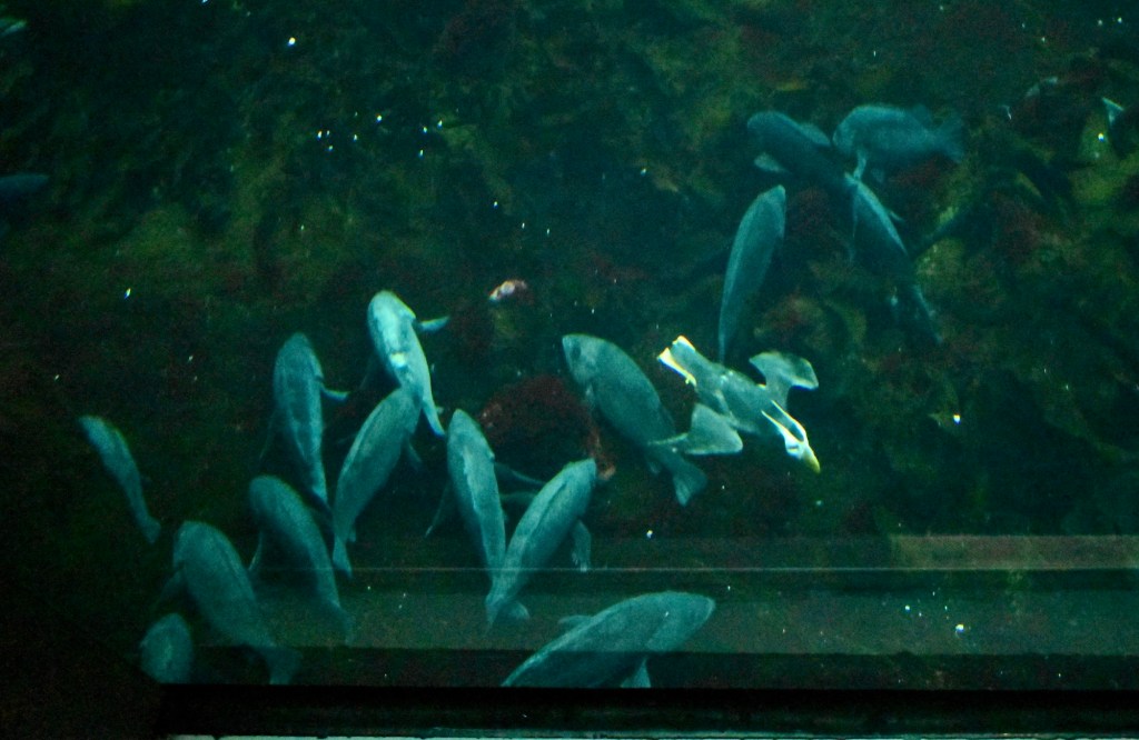
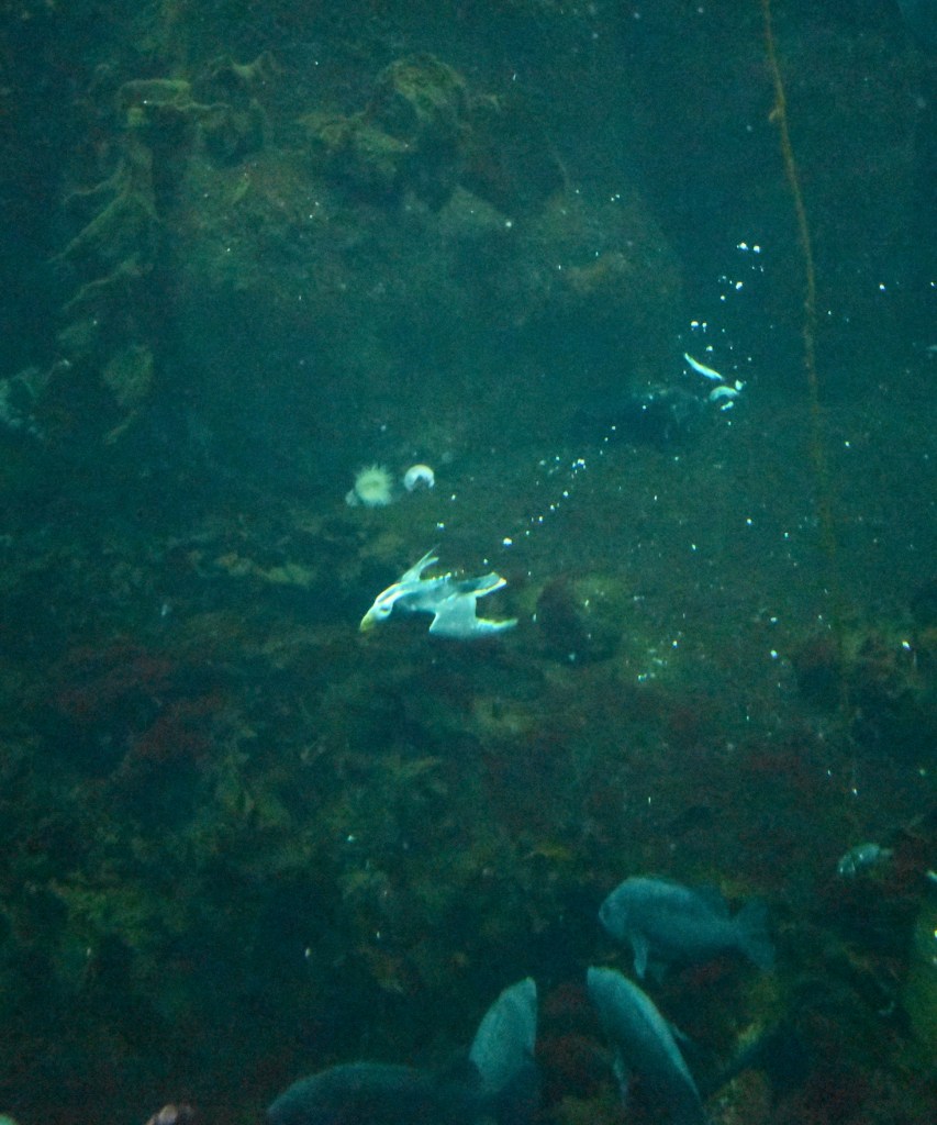
The Alaska Sea Life Center is a very sophisticated aquarium and center to rescue sea creatures. My favorite part was watching the puffins diving and swimming underwater – they are quick and sleek!The Seafood Grill nearby had excellent chowda.
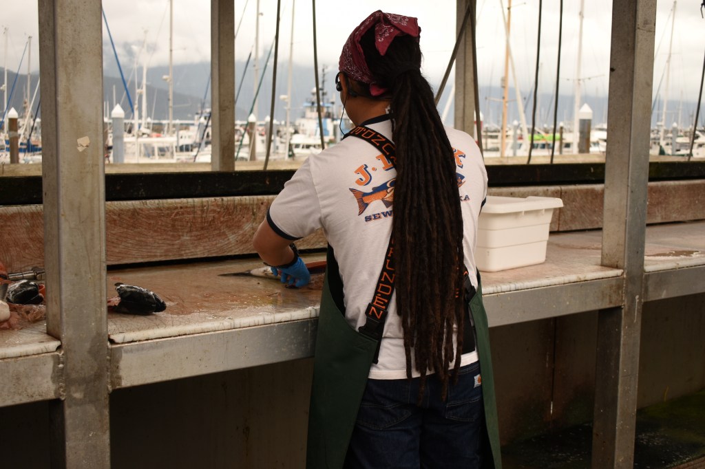
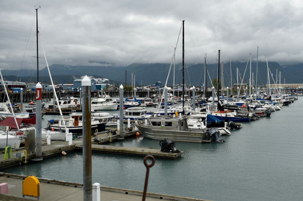
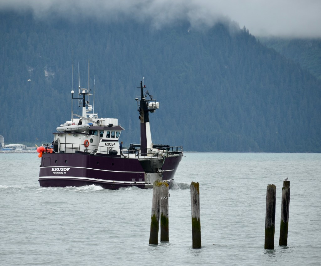
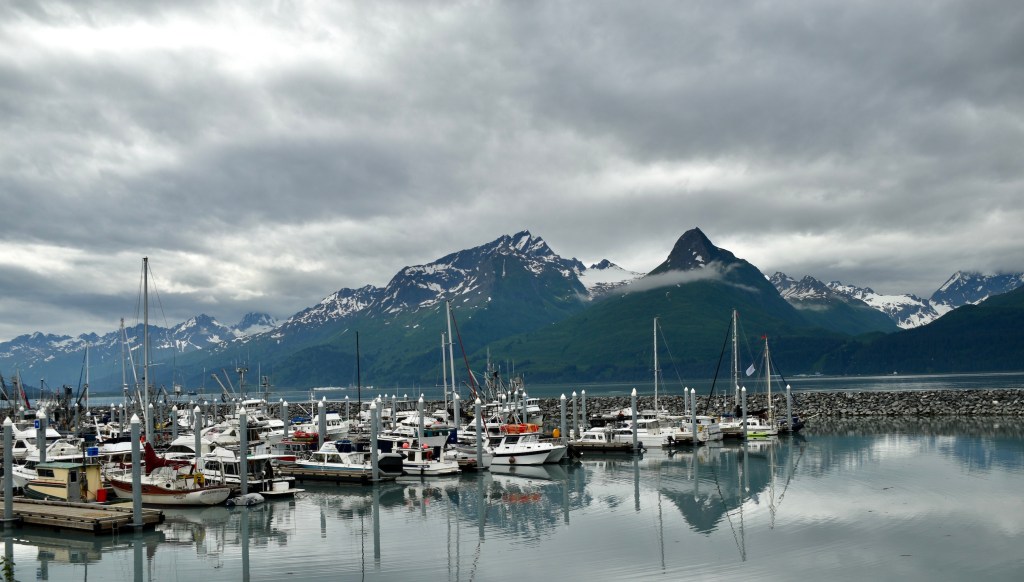
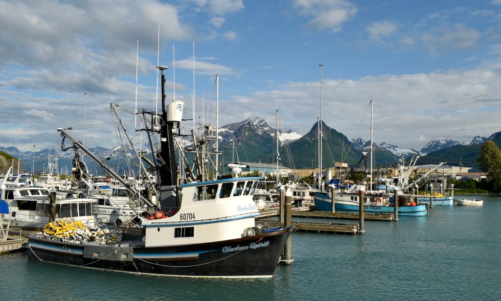
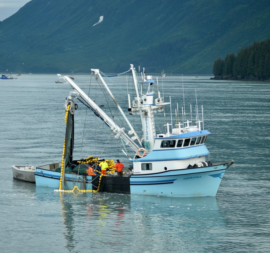
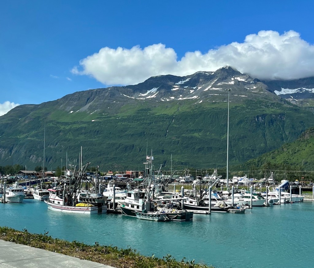
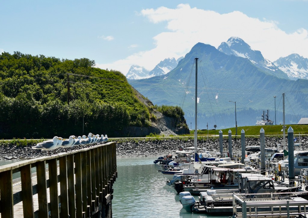
The waterfront has fish cleaning stations for everyone’s catches and to keep the mess from being dragged away from the waterfront. It was fun to watch the experts do their work, quickly and efficiently.The Seward small boat harbor is as crowded as Valdez.
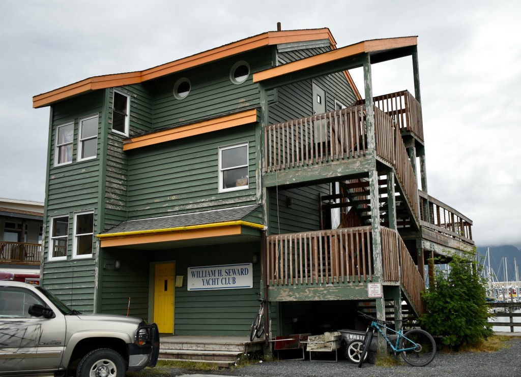
The local yacht club looks modest.
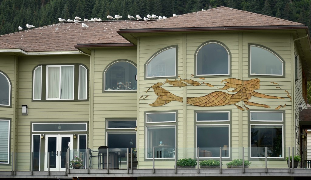
Mermaids are a recurring theme in Alaska, even on a private residence.
On Tuesday, July 12 we moved from the KOA to the Seward Municipal Campground at the waterfront on Resurrection Bay, a fjord. It was named in 1792 by a Russian Fur Trader and explorer who arrived there during a storm on the Russian Sunday of the Resurrection (Easter).
It was great fun to be on the waterfront watching the tides, the people, and the boats. The flowers right on the beach are very colorful. We had seafood chowda and reindeer stew at the Seasalt Alaskan Bar and Grill.
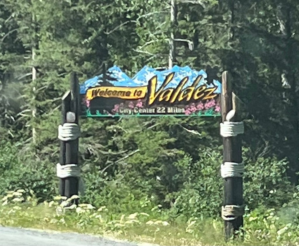
Doug and I had a quiet day in Valdez on Friday, July 8; Dee and Cheryl left for Anchorage and we planned to take the ferry and meet them in Whittier. The Valdez visitor center was very tolerant of my time blogging on their free Wi-Fi.
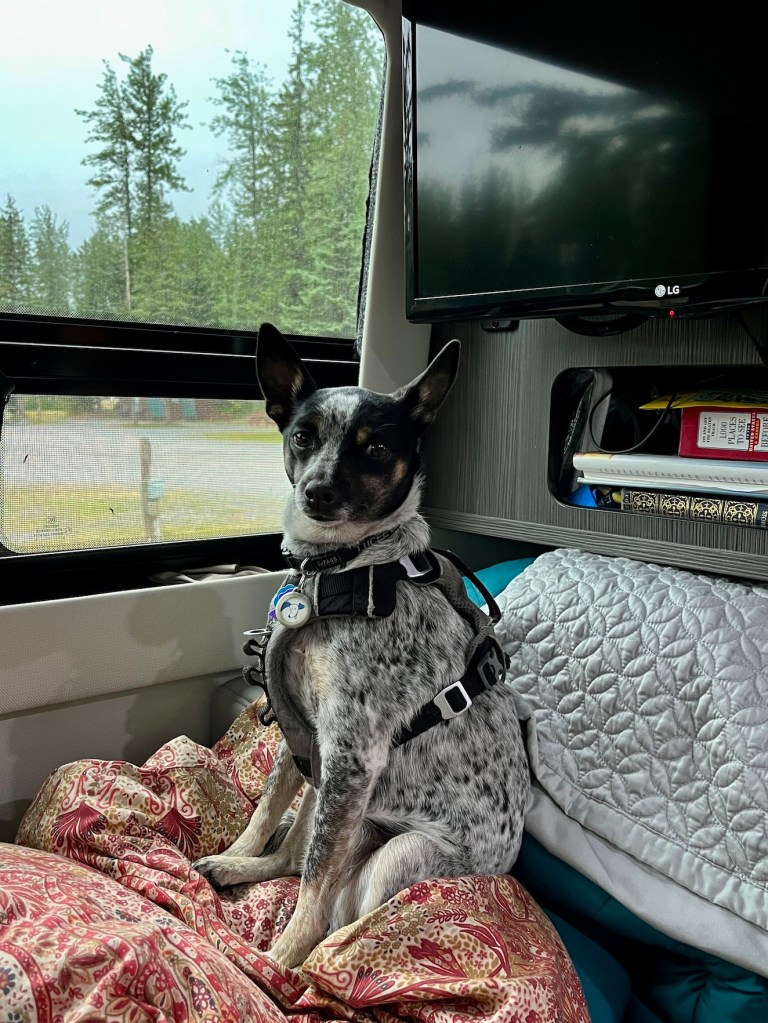
Lucee enjoys down time.
Even on a cloudy day, the scenery in Valdez is fascinating. For dinner we went to the Elks’ Club Friday Steak night and sat with a mayoral candidate.
We parked Sylvee in the Visitor Center parking area overnight and were first in line for the ferry early Saturday morning.
Views from the parking lot included the eagle next on the cliff
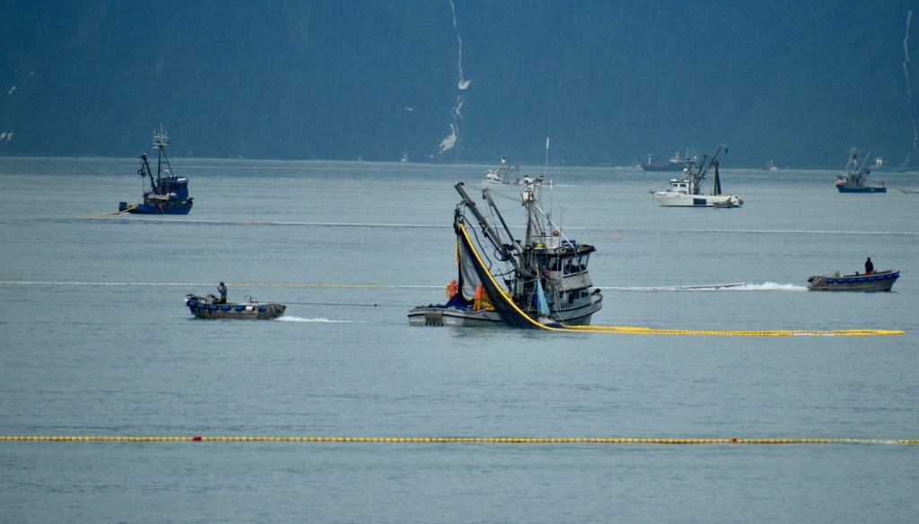
Although we had been told the pink salmon only beginning to come it, the fishing fleet was allowed to go out for a limited time to clean out the harbor of fish there at the time. All of the salmon coming in to the harbor are there to spawn, after which they will die. The plan to is catch all the fish possible before they die and end up on the shore creating unpleasant sights and smells. We sailed out of Valdez Harbor through the colorful fleet, setting their nets.
Valdez Narrows
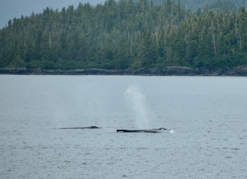
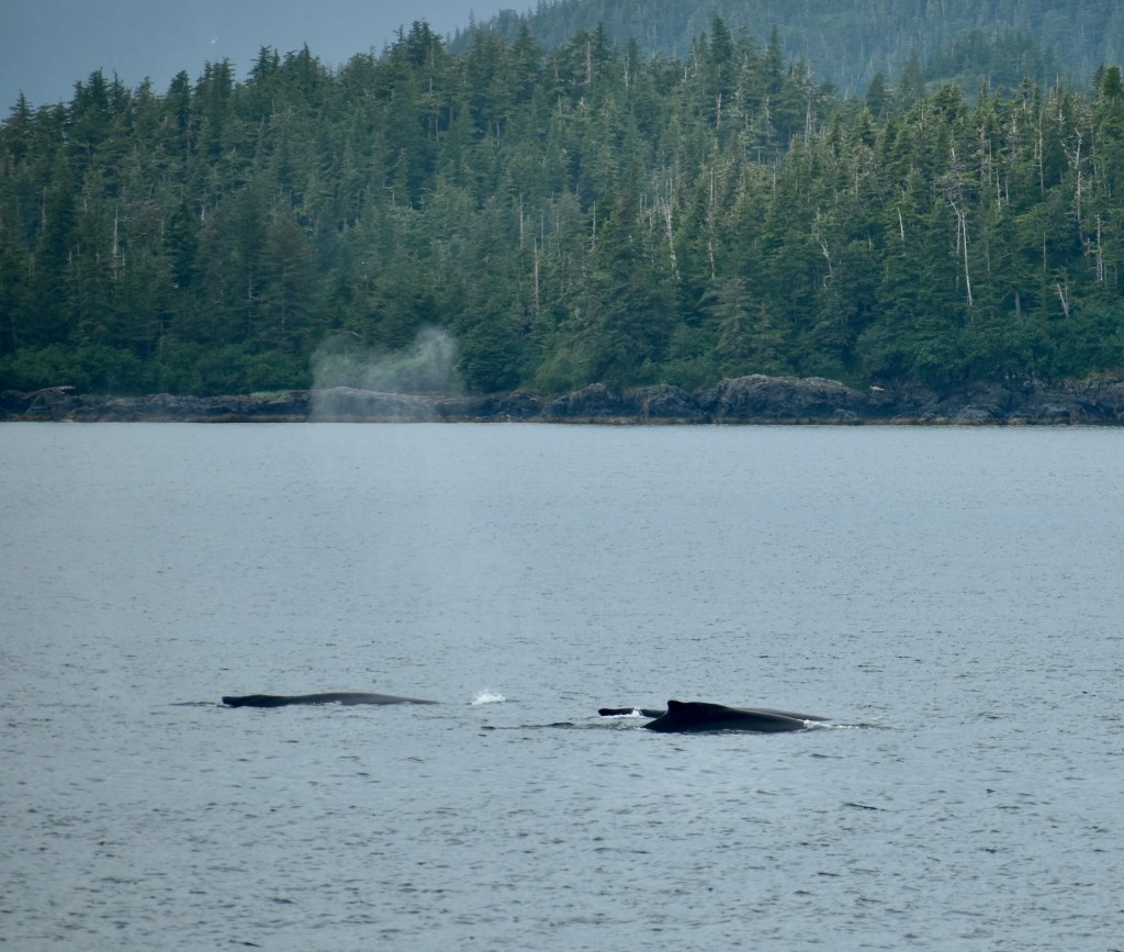
Whales visited the ferry
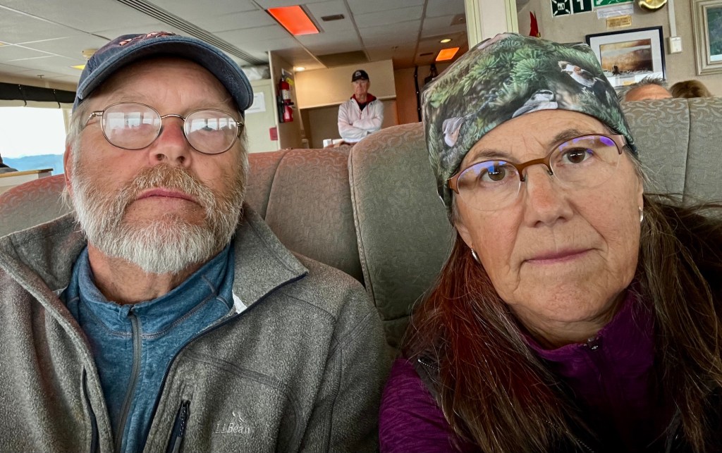
Reflections and a photo bomber. Oh, well.
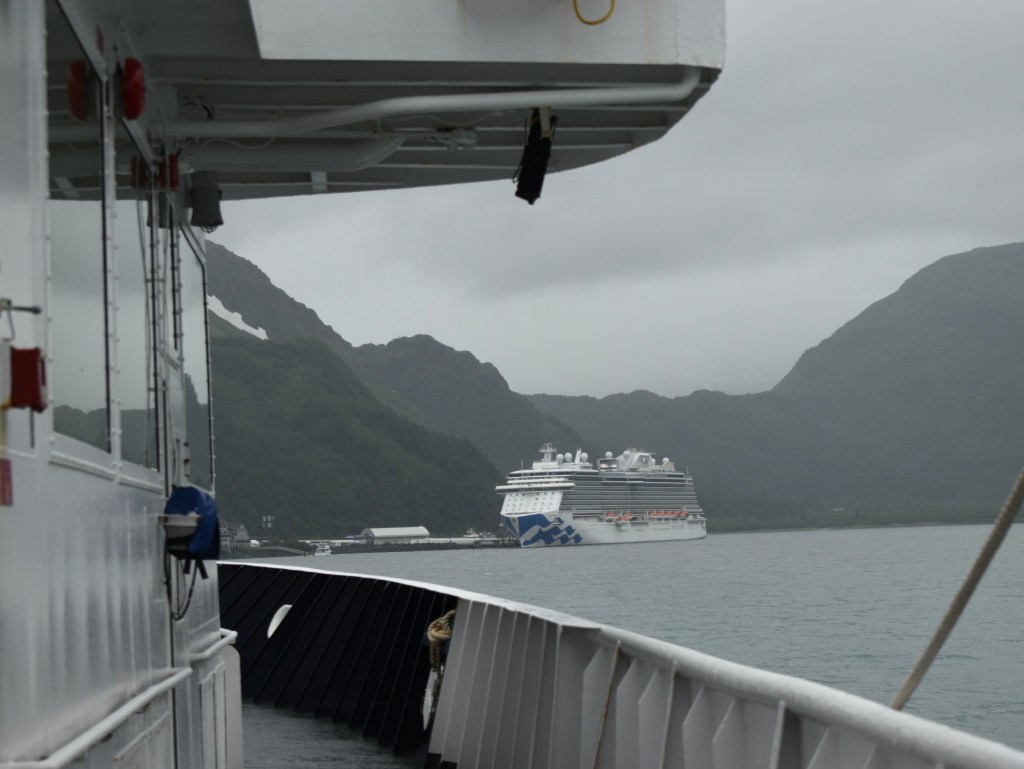
Scenes coming in to Whittier
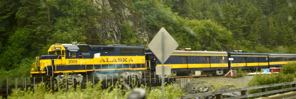
Whittier is a cruise ship terminal from which one can take the train to Talkeetna and Denali.
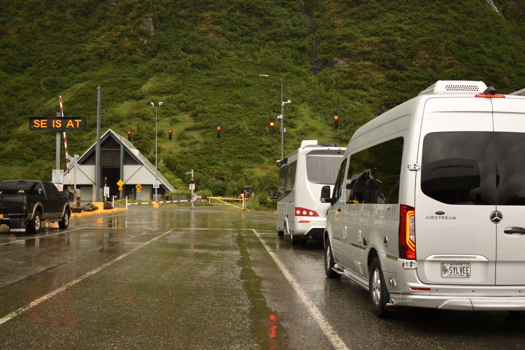
Leaving Whittier by land requires going through the train tunnel, about two miles long. The train has the right of way, vehicles wait, then drive through straddling the tracks.
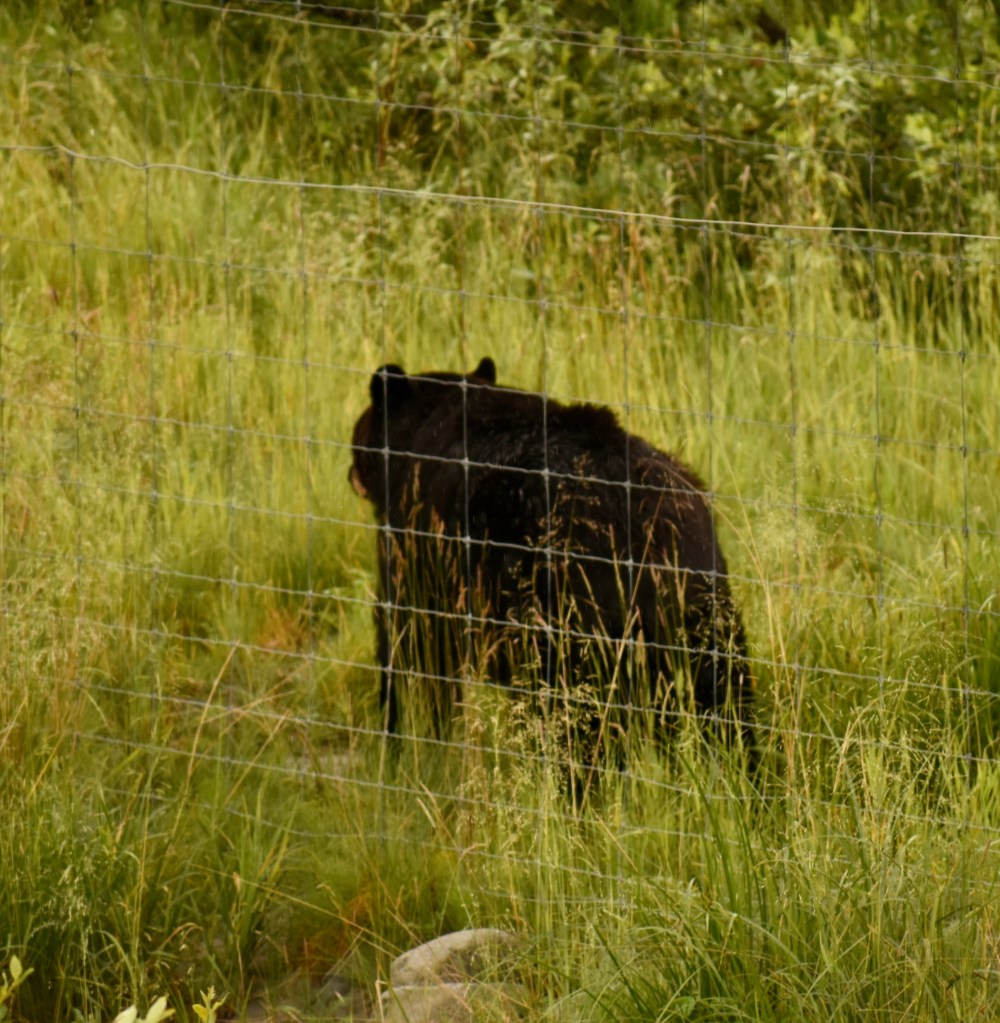
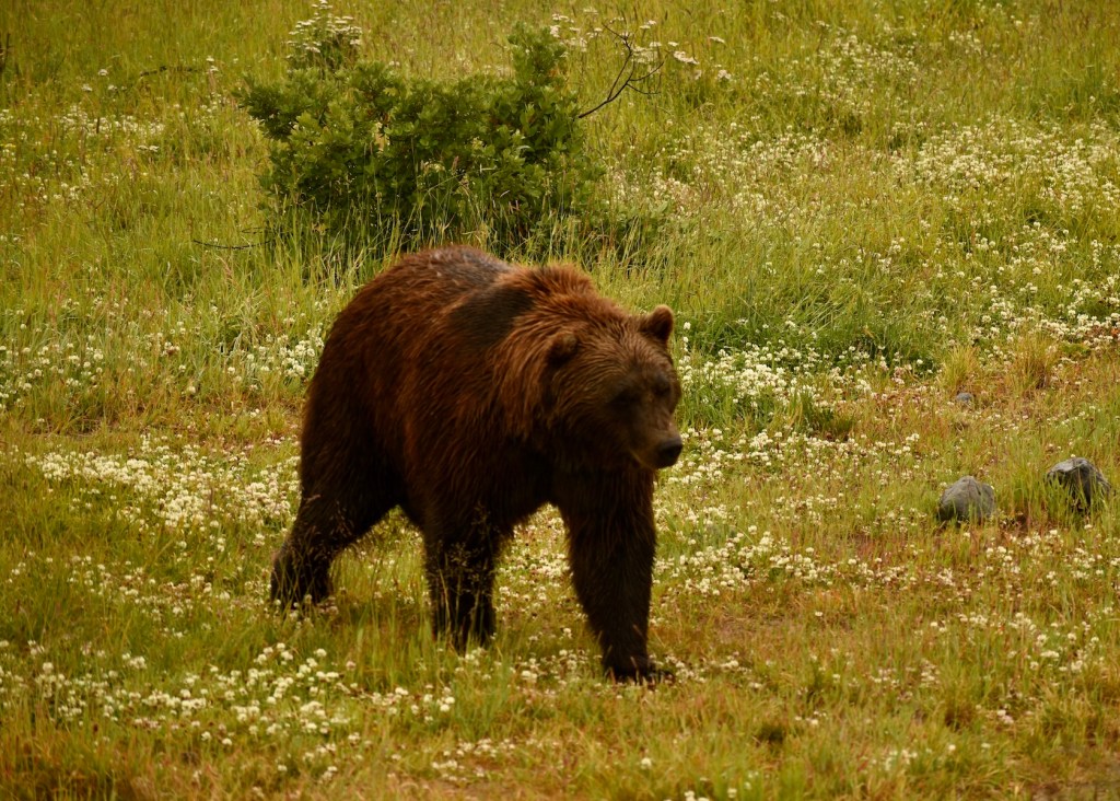
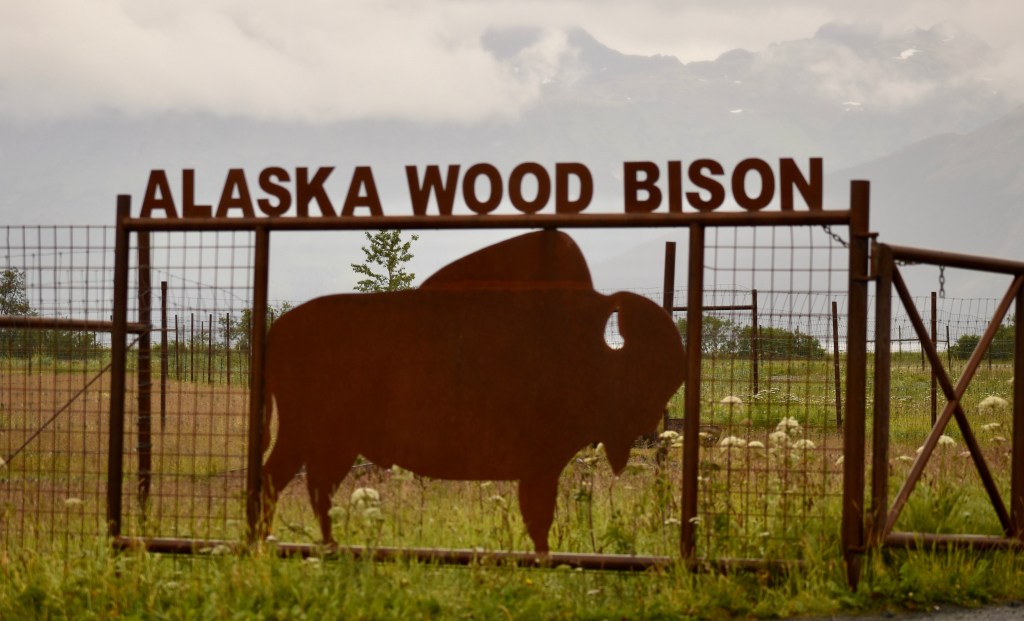
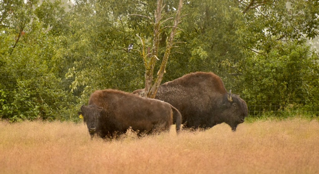
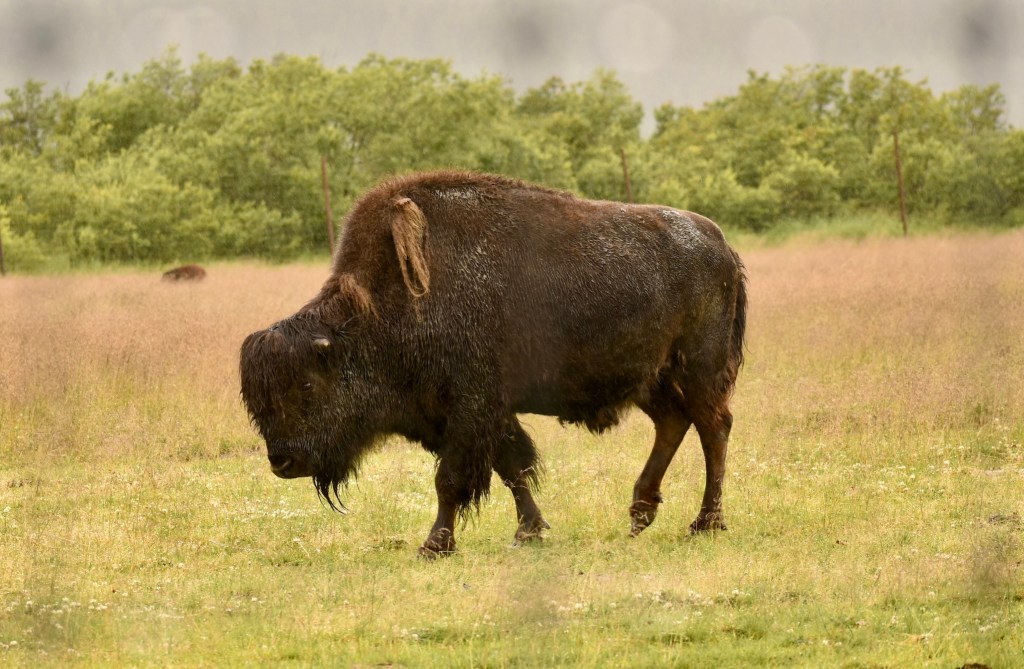
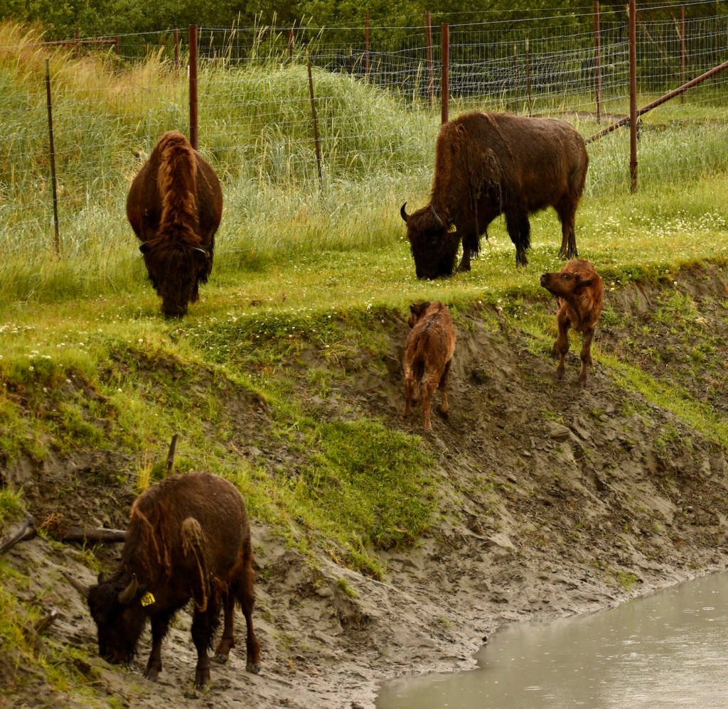
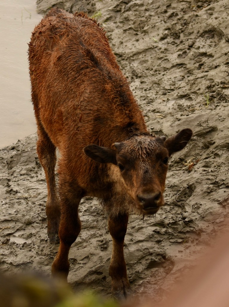
Dee and Cheryl met us at the Alaska Wildlife Park, where we saw black and grizzly bears and wood bison.
After visiting the critters we drove to Hope, Alaska, on Turnagain Arm. There were no campsites, so we boondocked in the parking lot at Hope School, where Dee cooked a fine steak dinner.
Dee and Doug did fish a little on Tuesday, July 5 but the pinks remained elusive. On Wednesday we toured both locations of the Valdez Museum, which is excellent. In addition to early history there are detailed accounts of the Good Friday earthquake in 1964 that caused the entire town to be relocated, and the Exxon Valdez oil spill in 1989, also on Good Friday. The oil did not actually enter Valdez Harbor. Finally, there is coverage of the 800 mile long Trans-Alaska Pipeline that ends at the Alyeska Terminal.
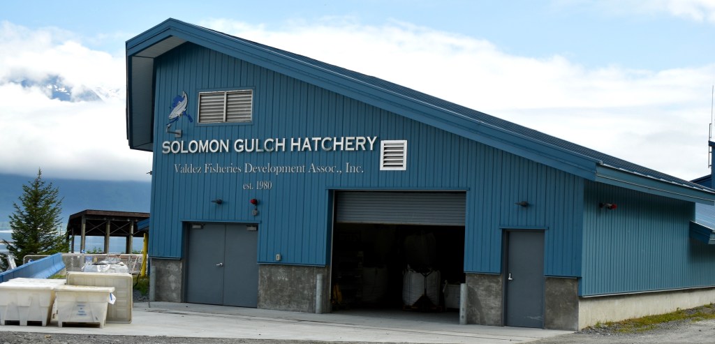
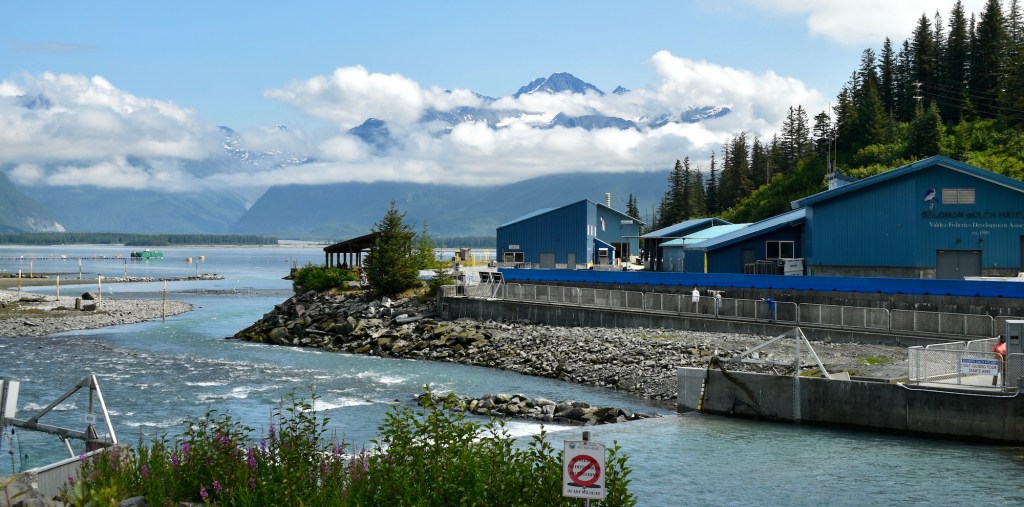
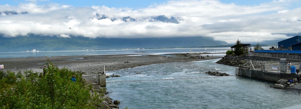
We toured the Solomon Gulch Hatchery which was pretty sleepy – the pink salmon had not really arrived yet. That made Dee a little happier and relieved about no luck fishing so far!
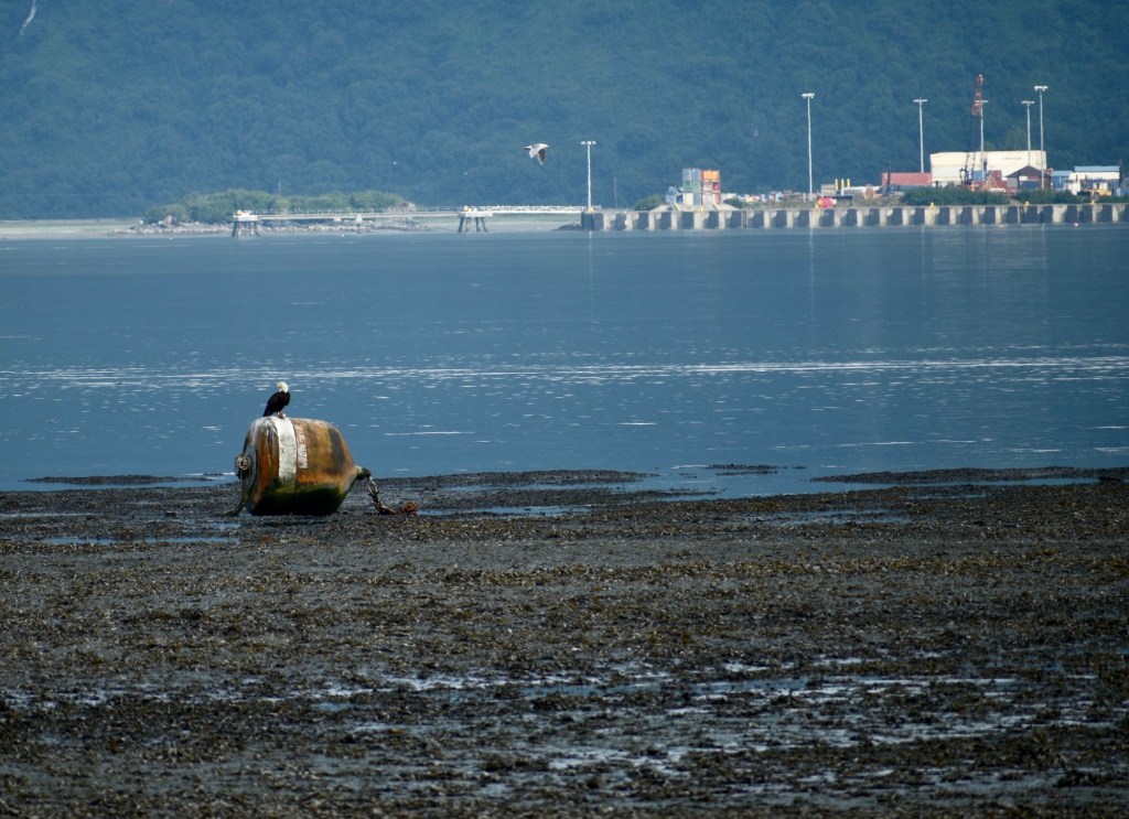
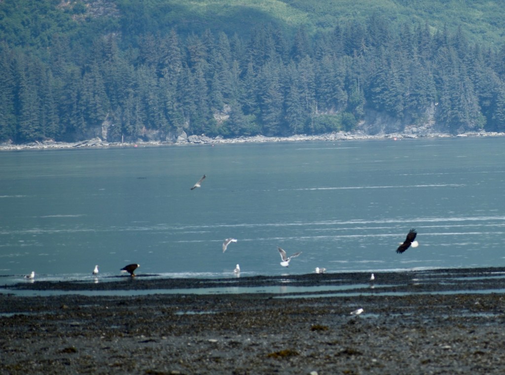
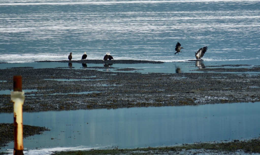
Waiting for the fish
Eagles and gulls waiting
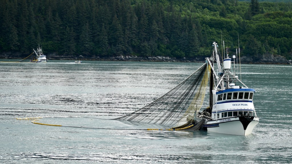
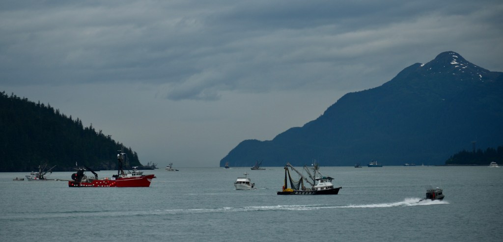
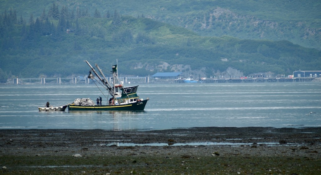
Fishing boats waiting
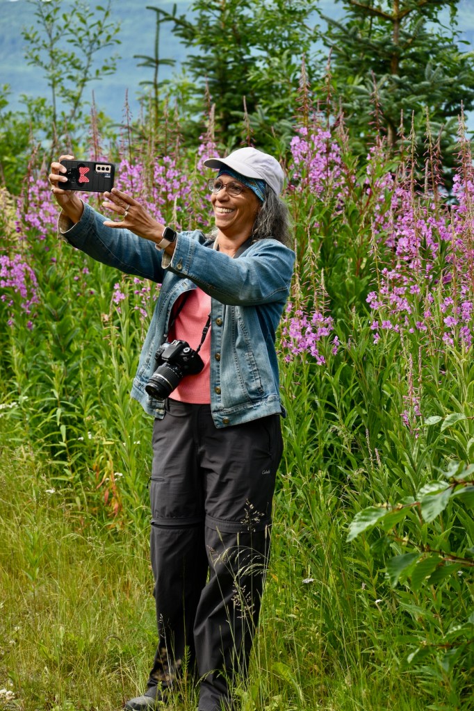
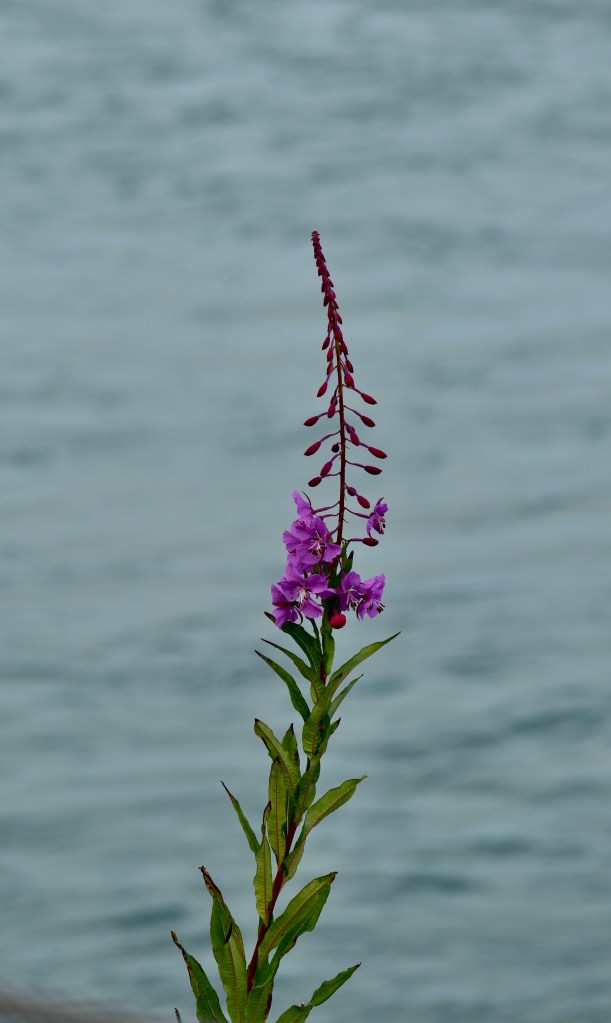
Pubic access for fishingGolf swing?Ubiquitous fireweed. It’s early in the season, so (Cheryl says) only the lowest buds are blooming. When the blossoms reach the top, autumn is arriving.
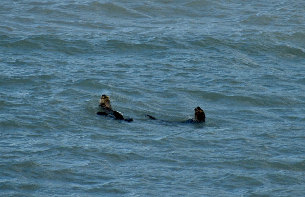
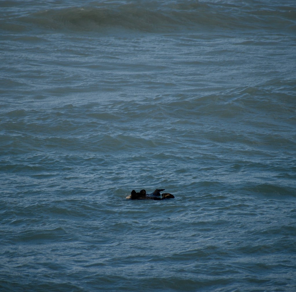
Your challenge: don’t smile when you see the next photos.
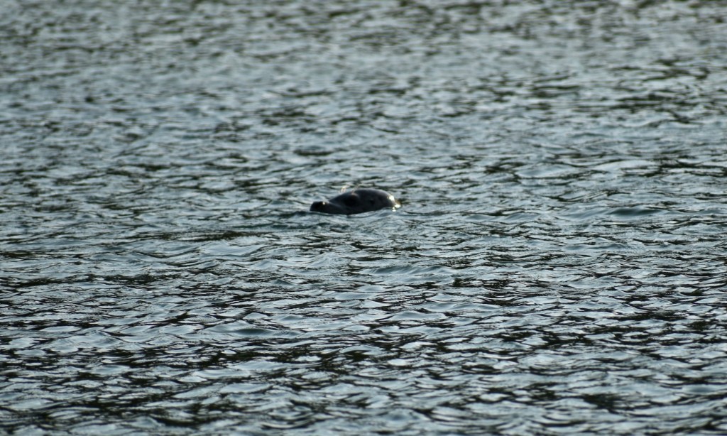
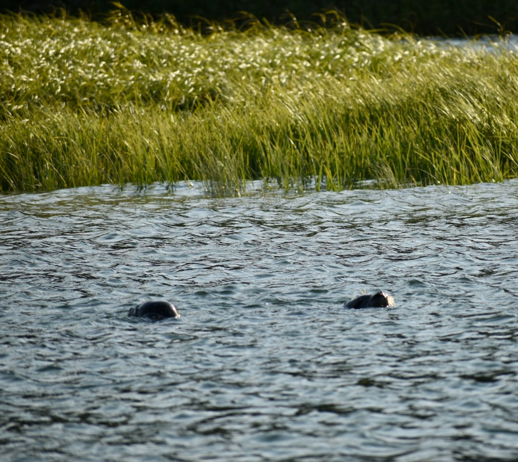
Playful Sea Otters, waiting for the fish, too!
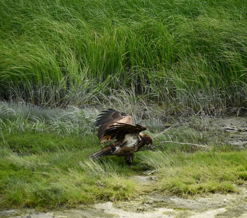
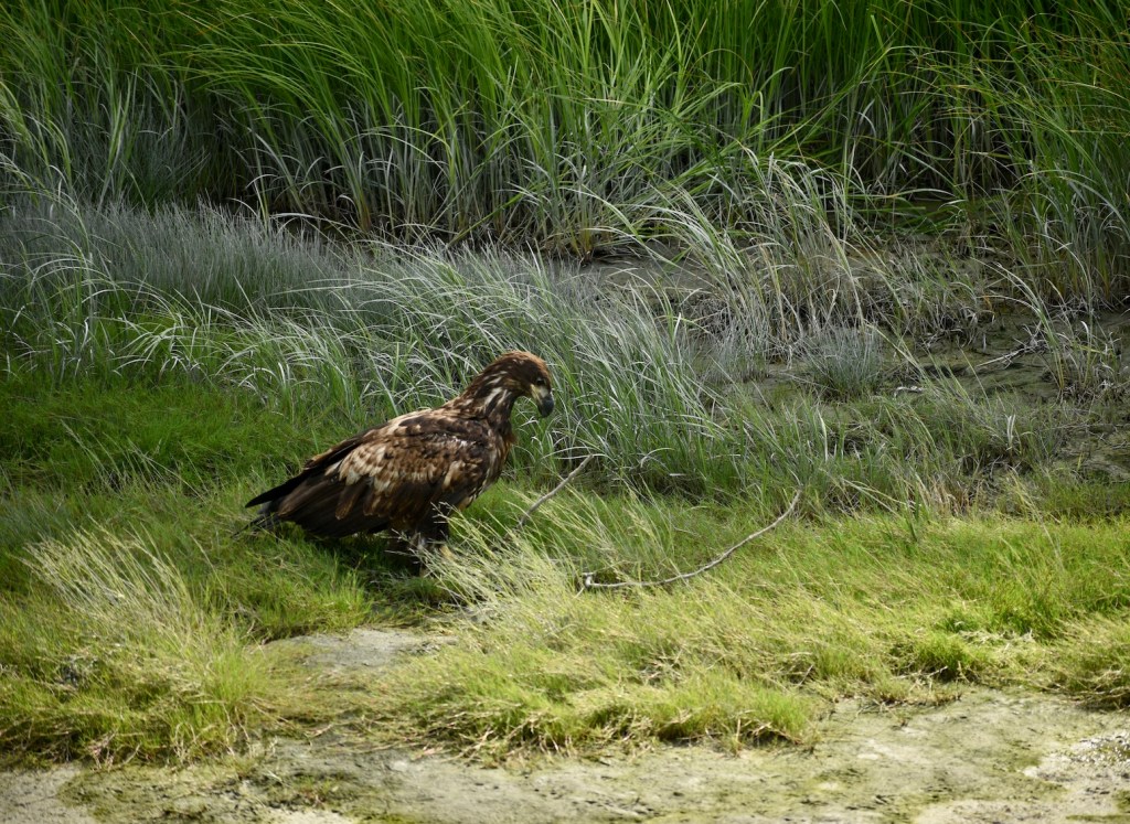
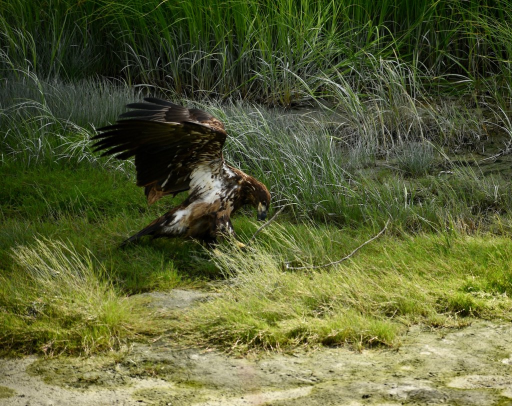
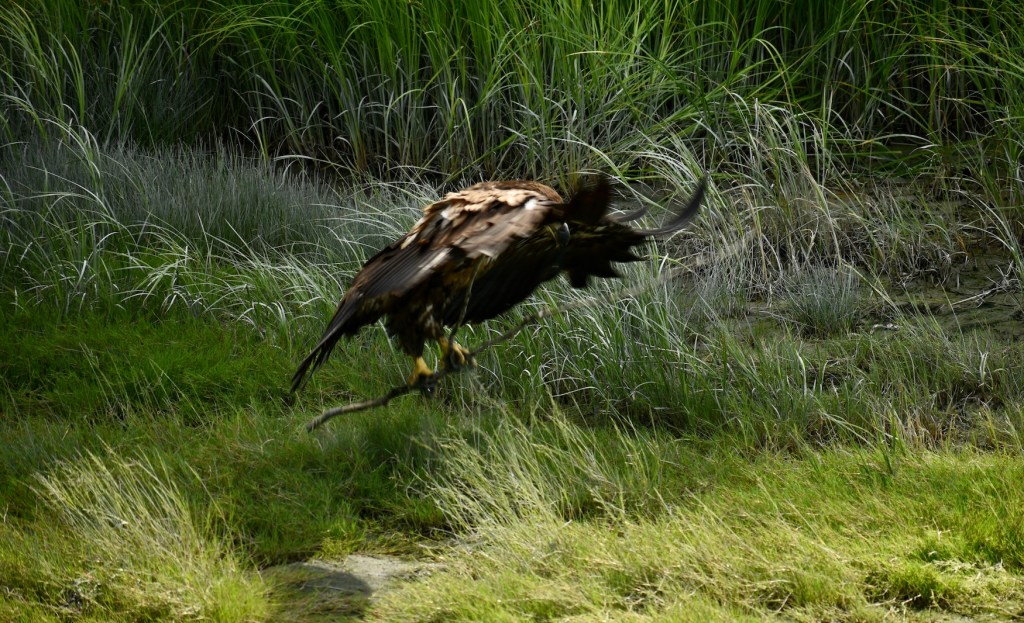
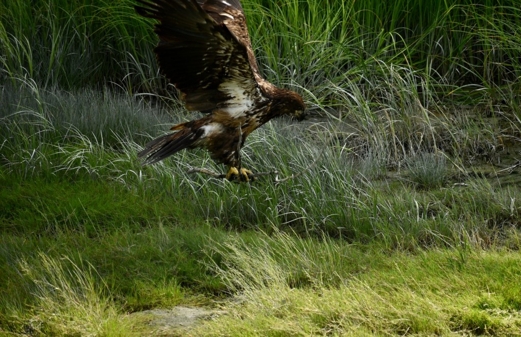
A young eagle working very hard to pick up a large stick, under supervision.
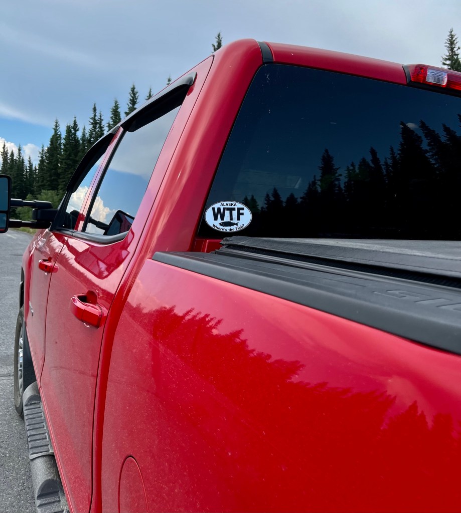
WTF – Where’s the fish??? We traveled to Valdez to stay for a few days; the rumors were that the pinks are running.
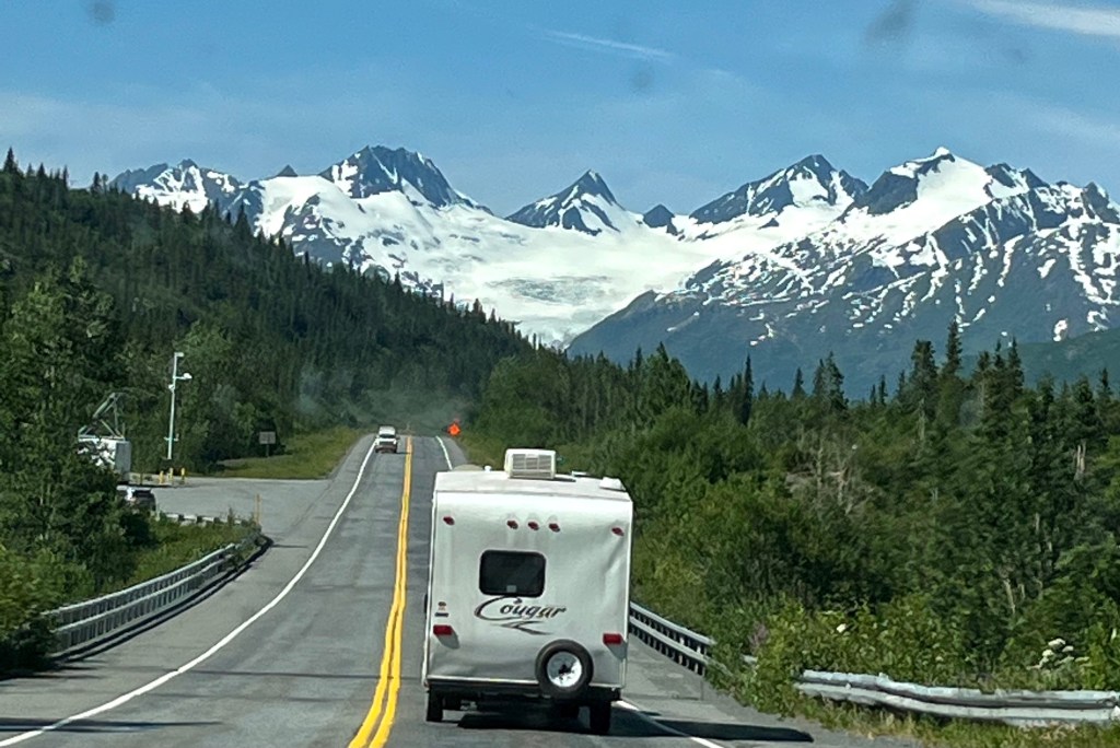
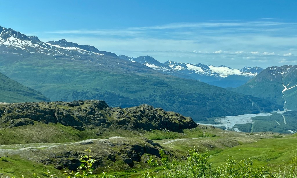
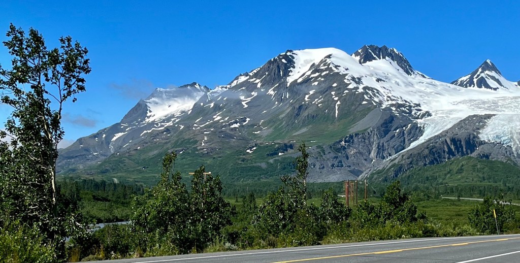
Worthington Glacier again (Dee and Cheryl towing the Cougar ahead – frequently in my photos!)
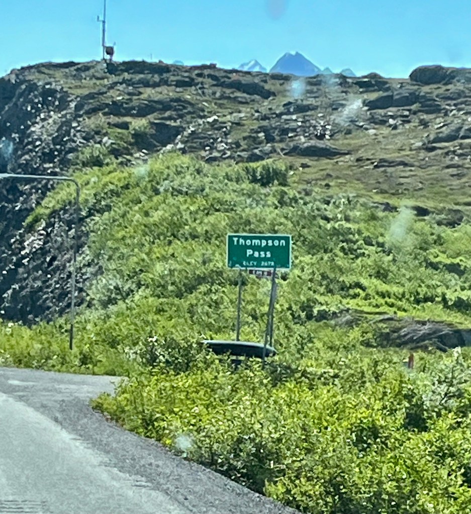
Thompson Pass on Richardson Highway. The poles over the highway are guidance to the snowplows in winter weather. It’s not uncommon for Valdez to be isolated by avalanches here and farther down the canyon.Blueberry Lake
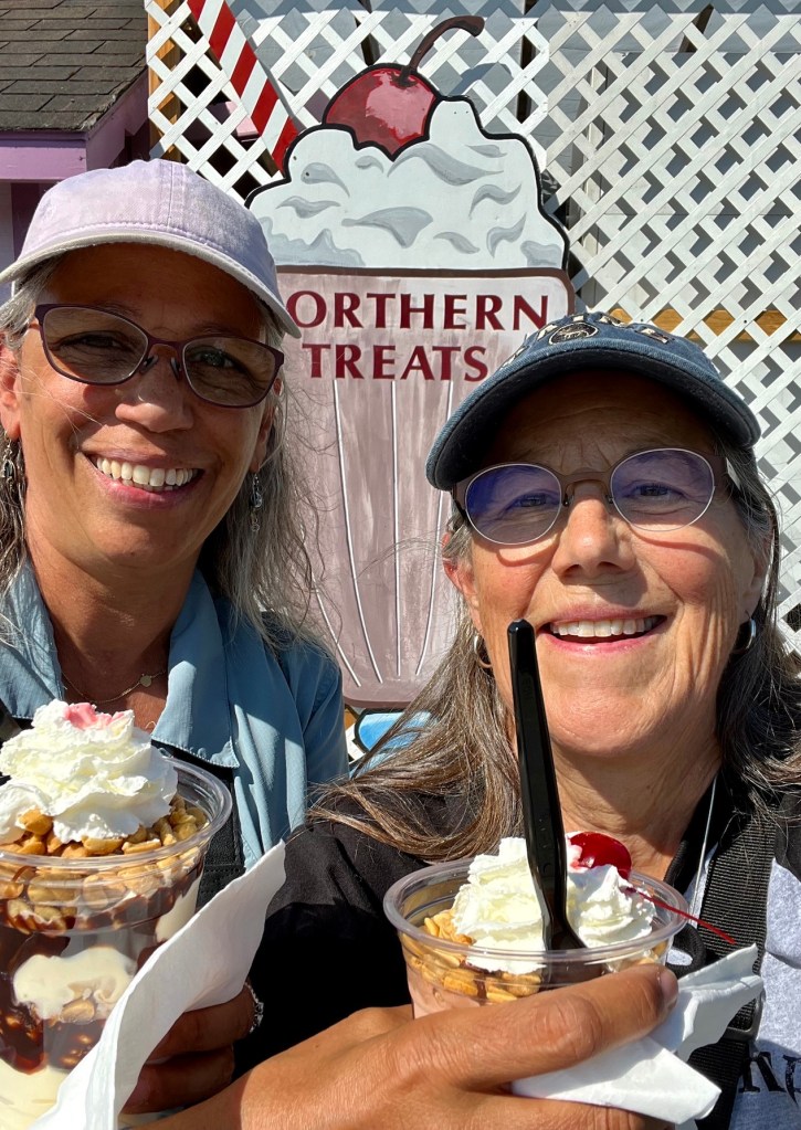
When the men go fishing, we get ice cream!
Happy July 4th!
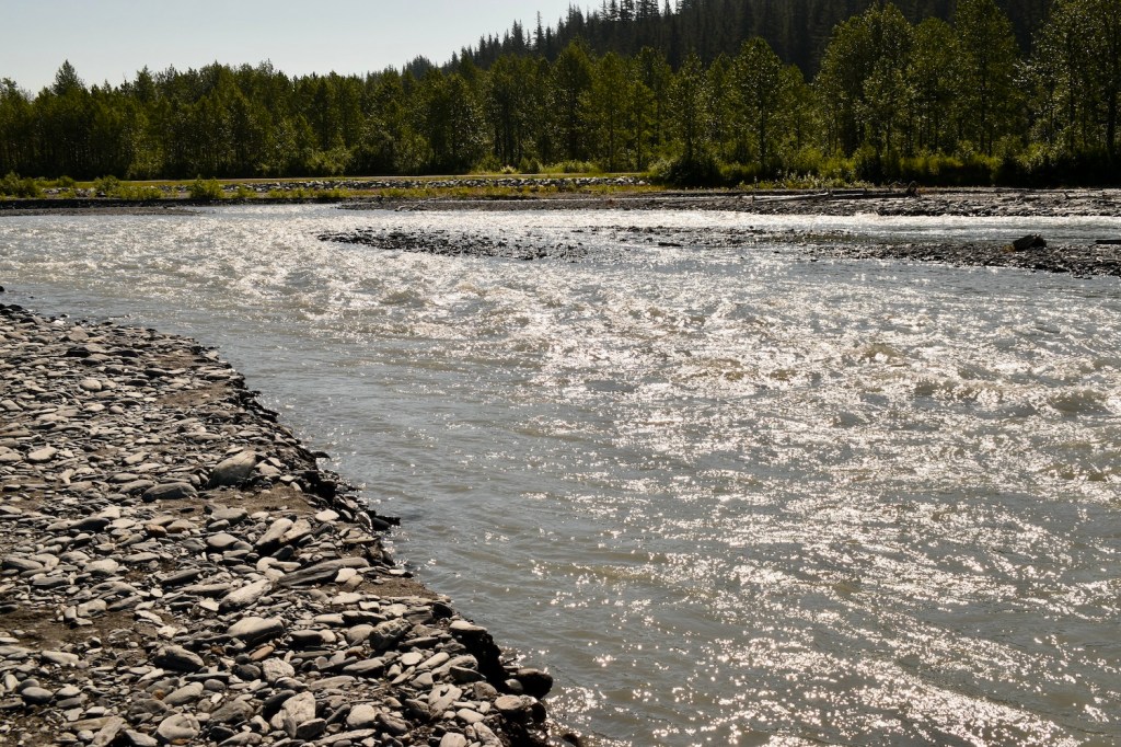
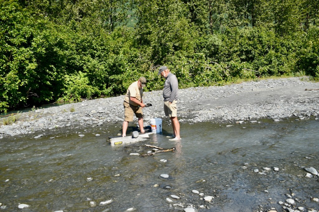
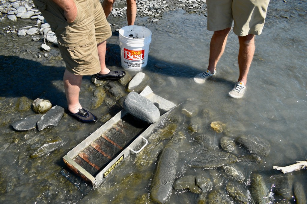
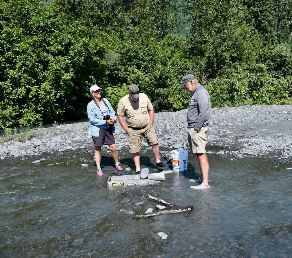
Next on the agenda – panning for gold! So off to Mineral Creek we went!
Park on the creek bed – glacier water is very cold.First, fill the 5 gallon bucket with dirt/rocks/debris from the stream – Doug was great.Next, shovel some into the sluice and let the water run through it.Now the real fun begins, panning. The theory is that gold is heavy. All the sand, silt, and whatever else will float away and leave gold in the bottom of your pan. Just keep scooping the icy water and let the sand float away. The nuggets at the jewelry store were a lot larger!
Lunch didn’t do much to warm up our feet!
The Valdez Glacier is important in history because it was the start of the All American Route to the Eagle mining district in Alaska, and from there up the Yukon River to Dawson City and to the Klondike. In 1897-98 thousands of gold seekers carried multiple loads of required equipment up the glacier and beyond, facing dangerous crevasses, snowblindness, and exhaustion. Most stampeders arrived too late to mine any gold or even stake a claim.
Glacier in distance and all the way down to the water.
Part of the terminal glacial moraine where the glacier has receded.
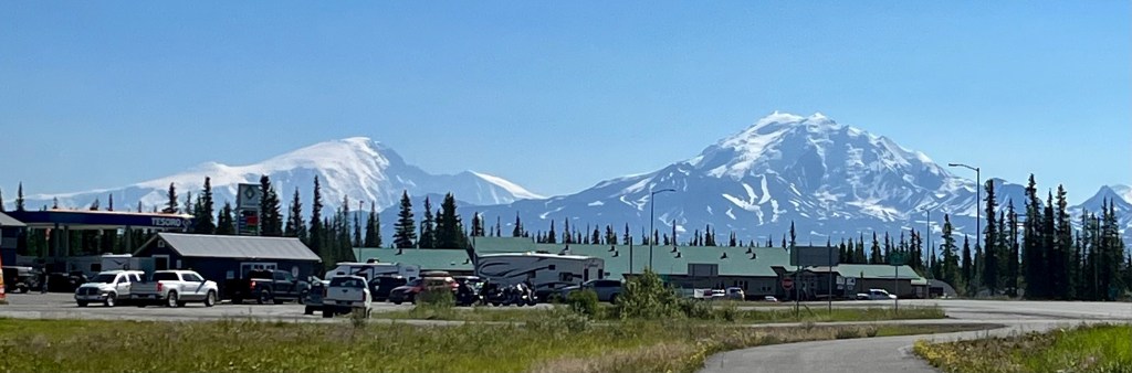
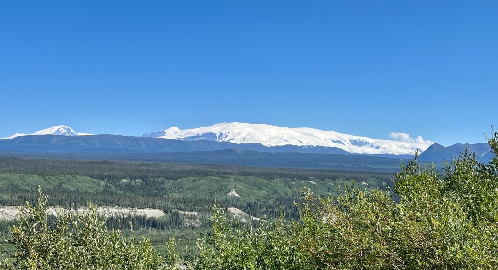
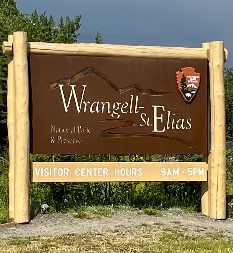
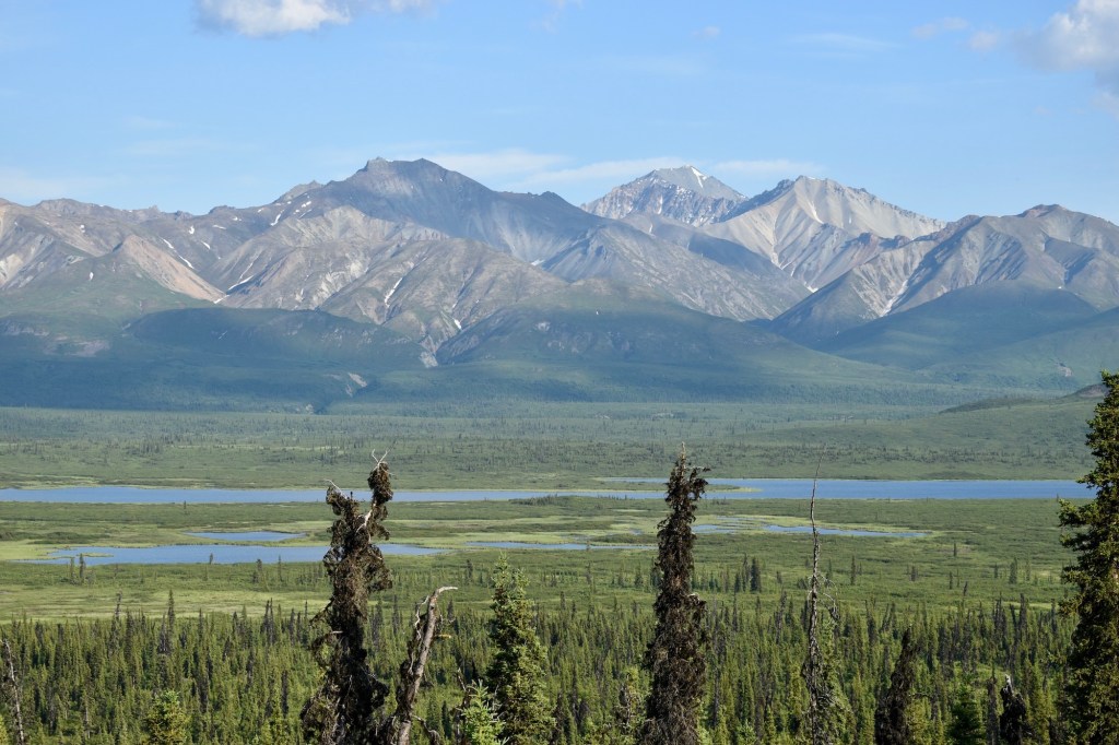
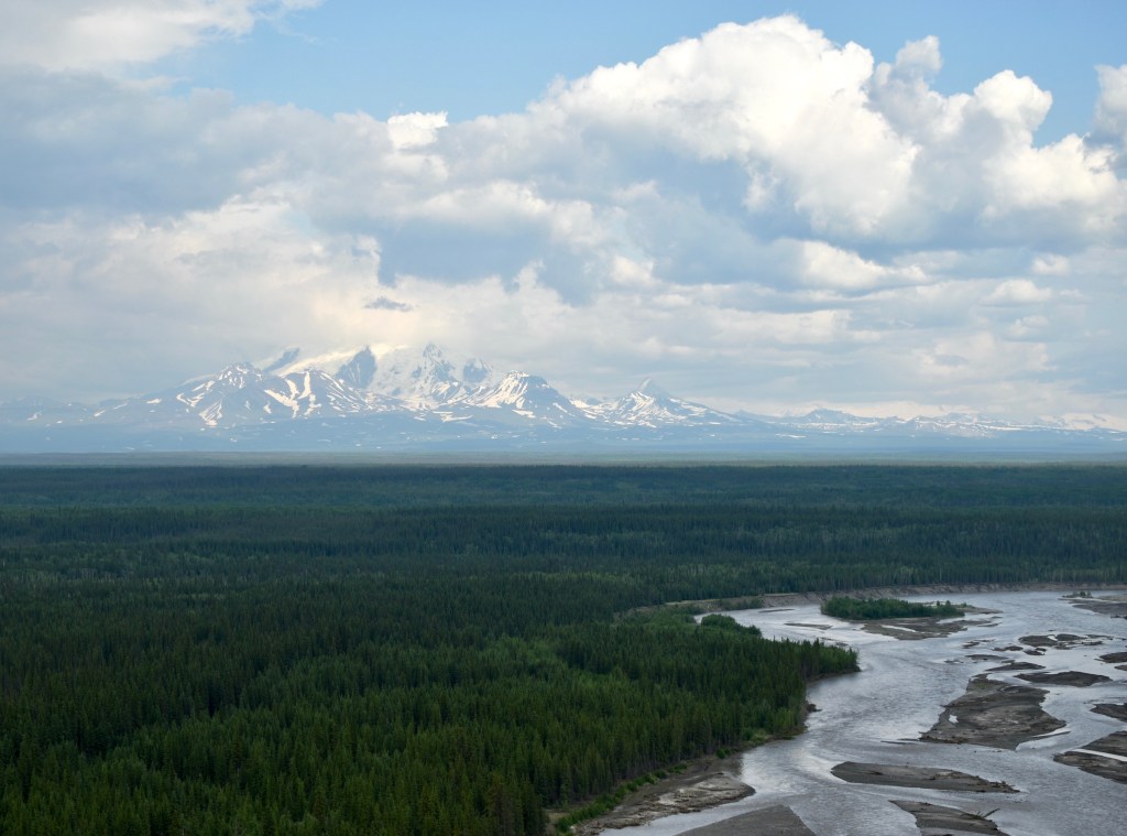
Mount Sanford (elevation 16,237 feet) and Mount Drum (elevation 12,010 feet) were visible from Glennallen, with the lines of RV’s waiting for fuel in the foreground. The Wrangell-St. Elias National Park and Preserve is the largest unit in the US National Park system. It contains 13.2 million acres of wild lands and 9.7 million acres of designated Wilderness. Also it contains the greatest collections of peaks over 16,000 foot on the North American continent, including Mt. St. Elias (elevation 18,029 feet), the second tallest peak in the United States. The park also contains the largest concentration of glaciers, the largest of which, Malaspina Glacier, is larger than the state of Rhode Island.
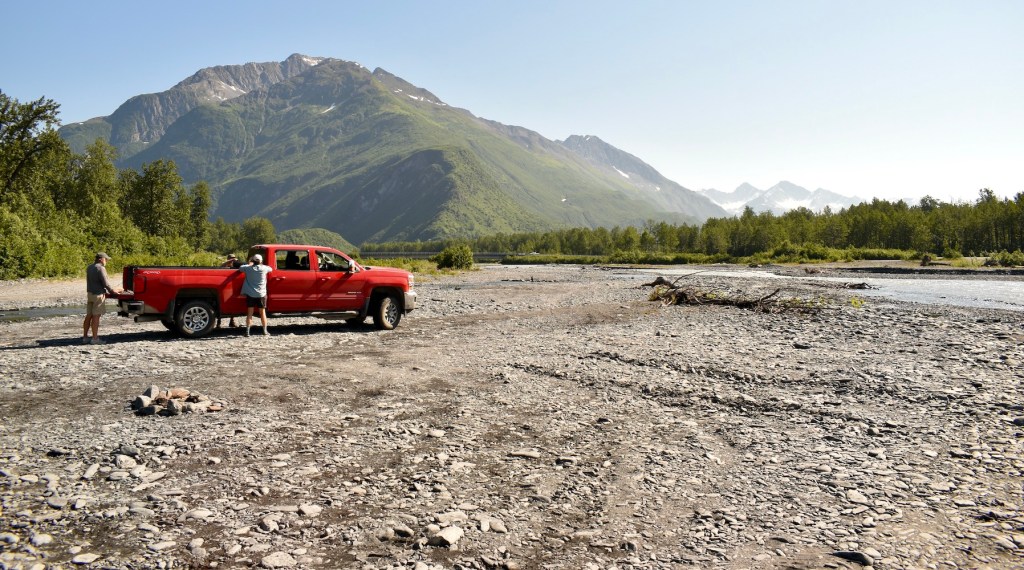
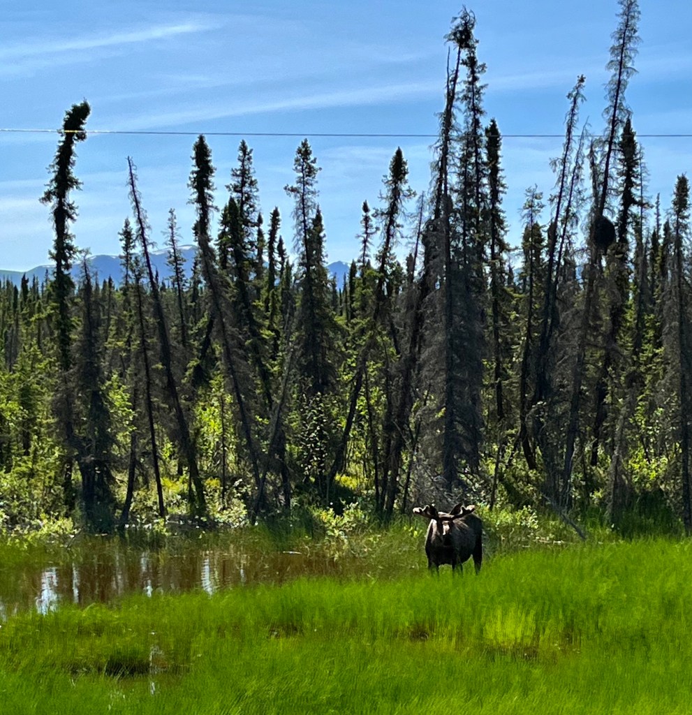
On July 3 we decided to try to drive to Chitina, east of Glennallen and Copper Center. Dee and Cheryl had tried to go there on an earlier trip but the road was too rough and they had turned back. We went east from the Richardson Highway on the Edgerton Highway, also known as the McCarthy Road. Just three miles in Doug, sitting in the shotgun seat said calmly, “oh, a moose”. Everyone said WHAT!!! and we had to find a place to turn around to go see the moose, right next to the highway. Since we always stopped for wildlife, Doug’s calm demeanor became a standing joke.
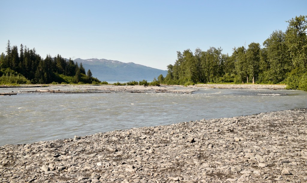
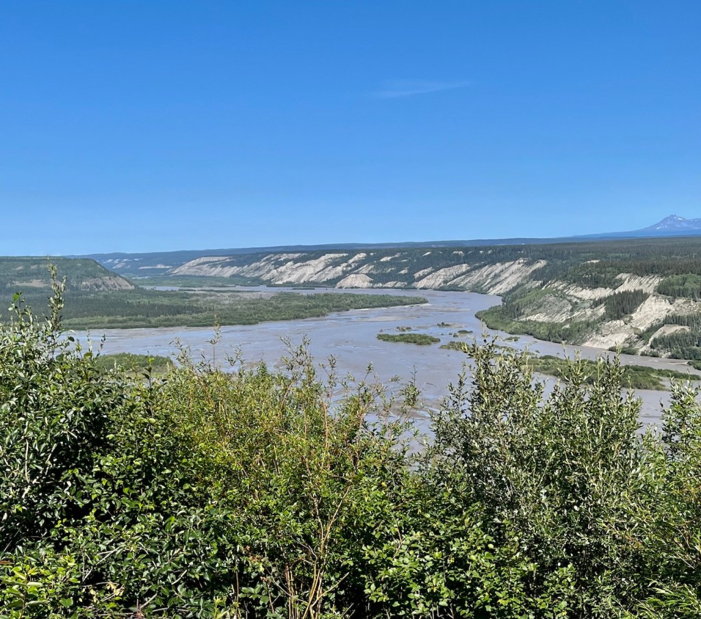
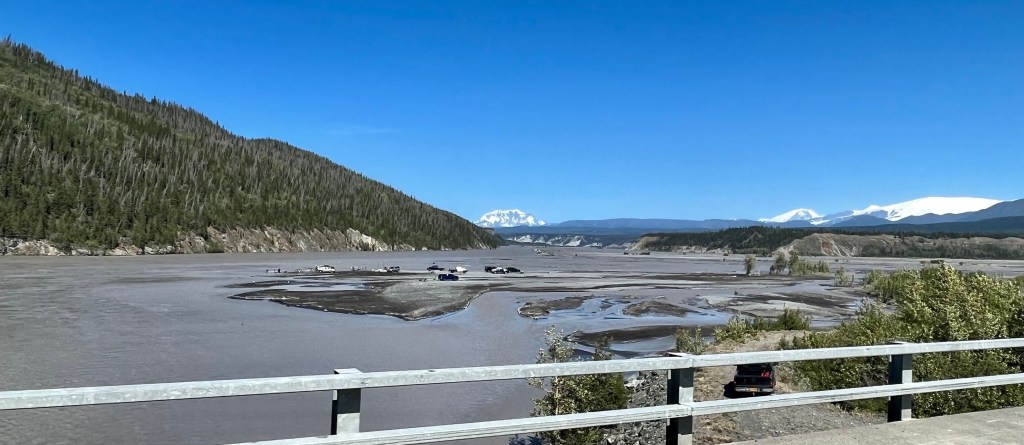
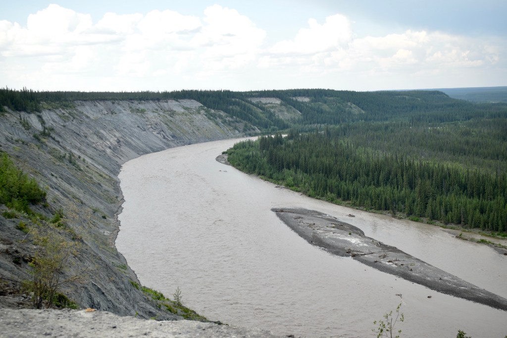
Copper River from Edgerton Pass
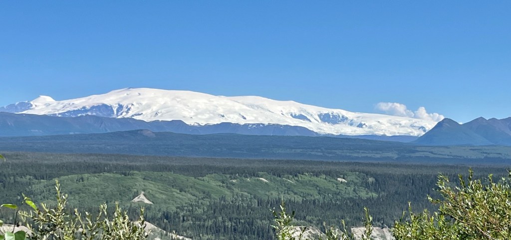
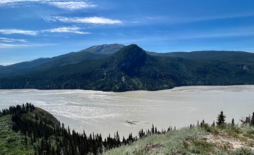
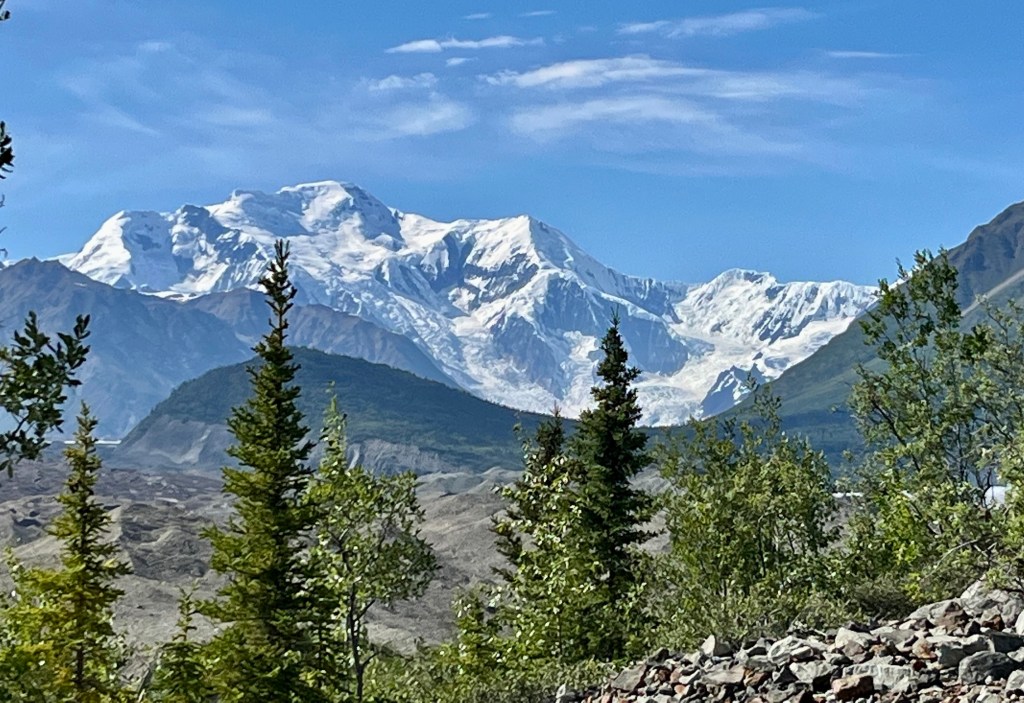
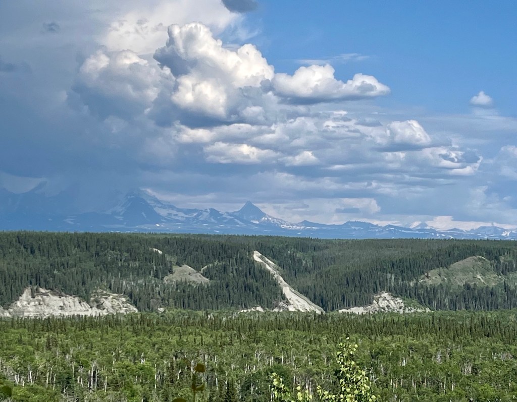
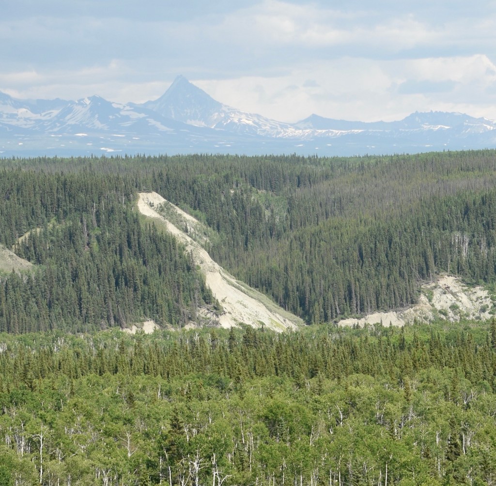
Mount Wrangell to the left and Mount Blackburn to the right
Mount Blackburn with glaciers and icefields
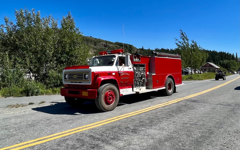
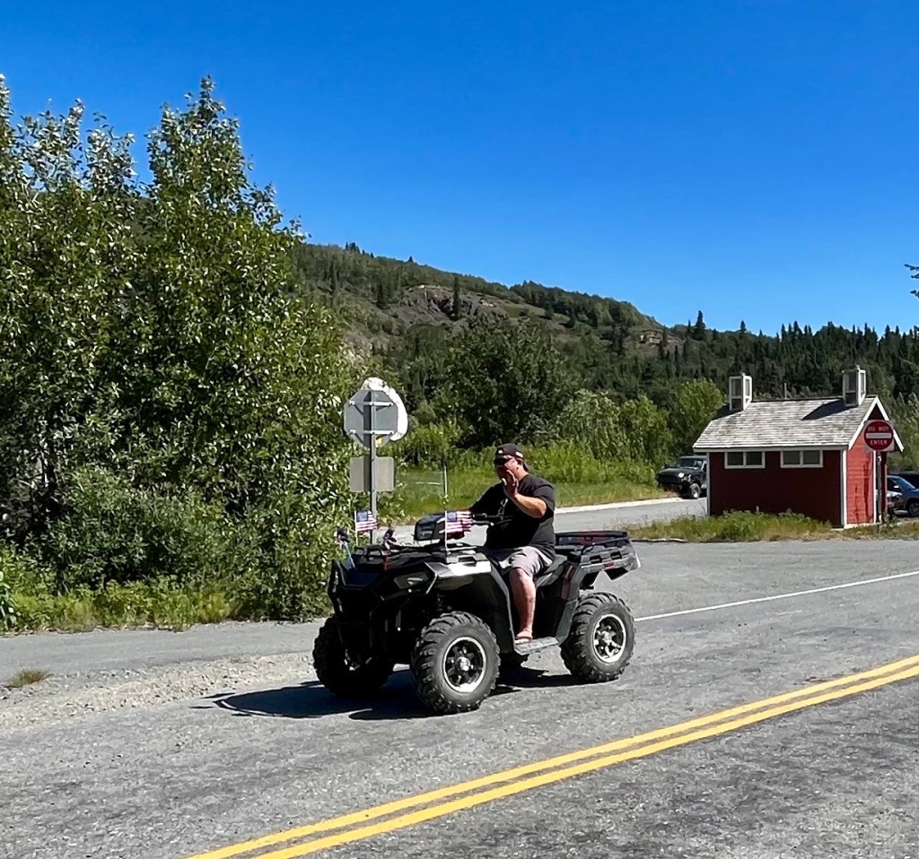
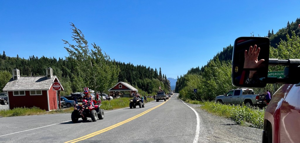
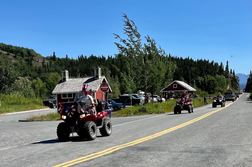
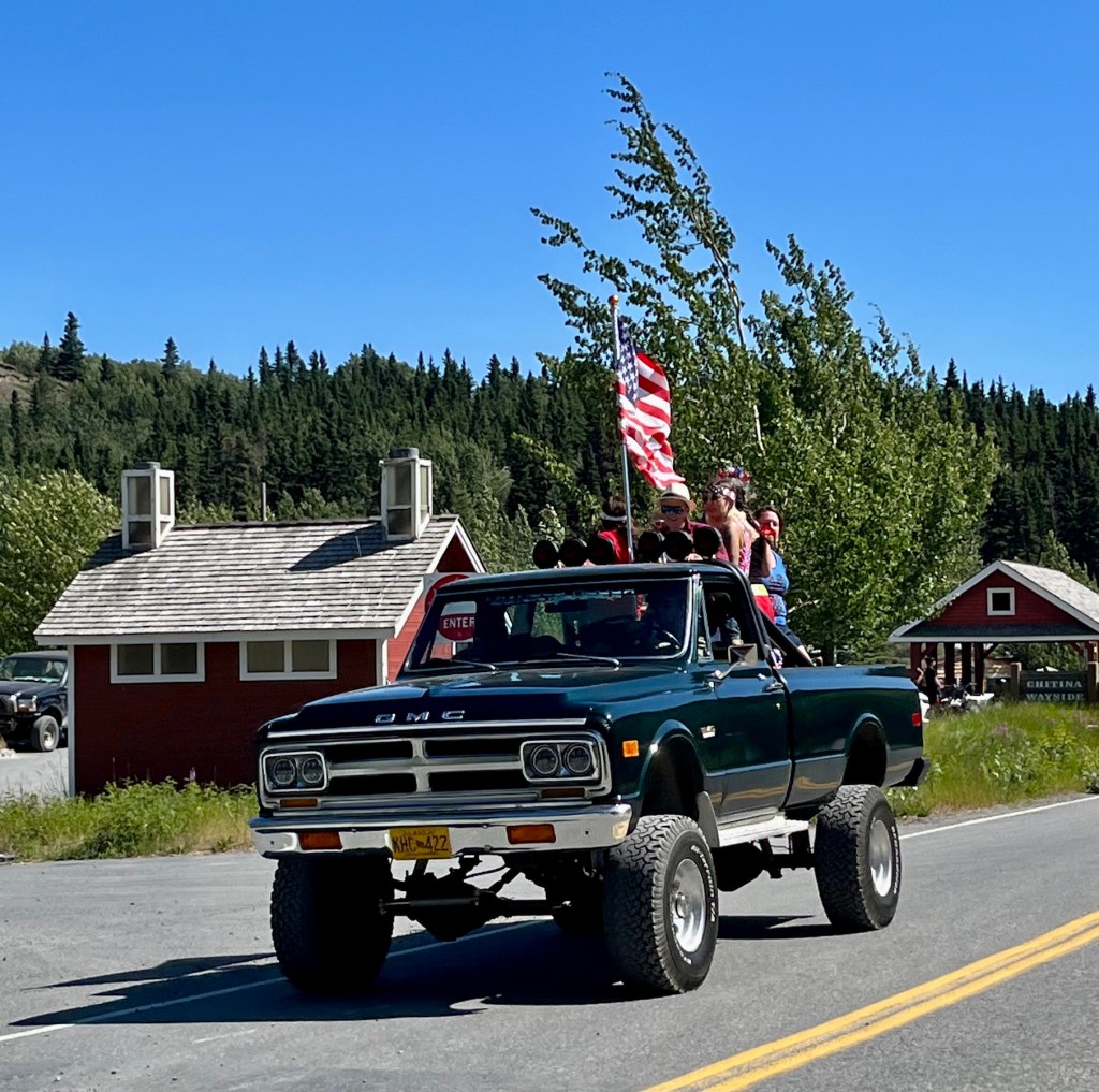
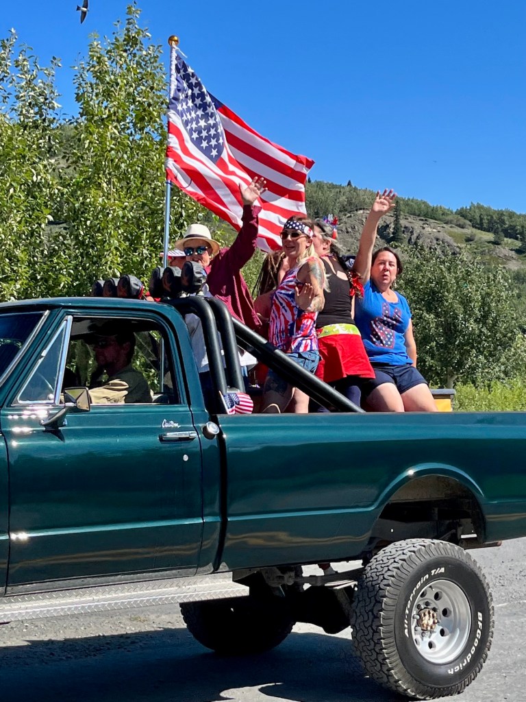
We arrived in Chitina after 30 miles of pretty decent road, and suddenly were in the middle of their Fourth of July Parade!
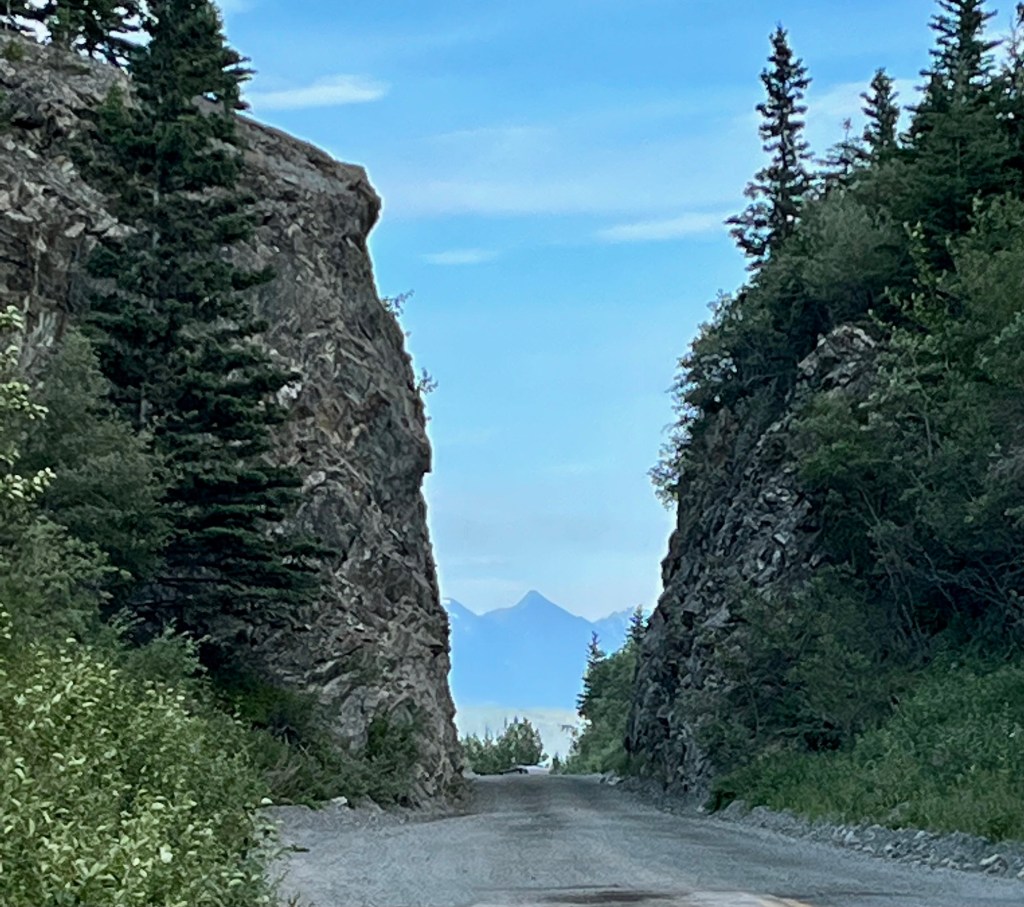
From Chitina east the road is gravel, narrow, and winding for nearly 60 miles. After Chitina there is a bridge over the Copper River and a narrow pass cut into the mountain. The road is located on the right of way of the Copper River & Northwestern Railway. There are narrow cuts through rocks and the bridges are narrow former rail bridges. A stern sign early on “strongly” recommends against travel by RV’s and large vehicles, a sign which obviously is ignored as we found out during the long and bumpy road to McCarthy.
First Nation people dip-net fishing on the Copper River
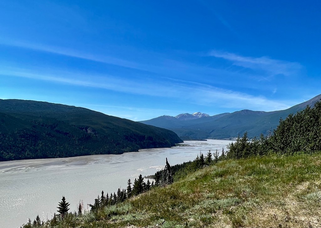
The Copper River
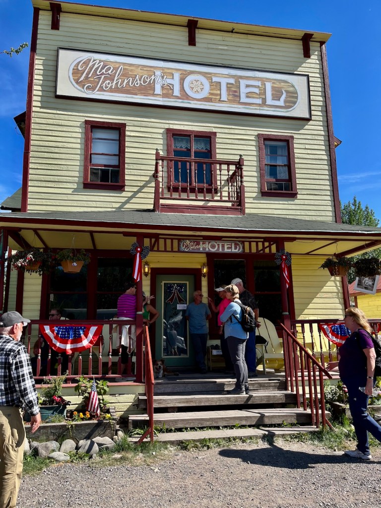
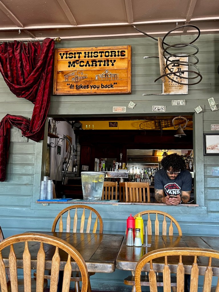
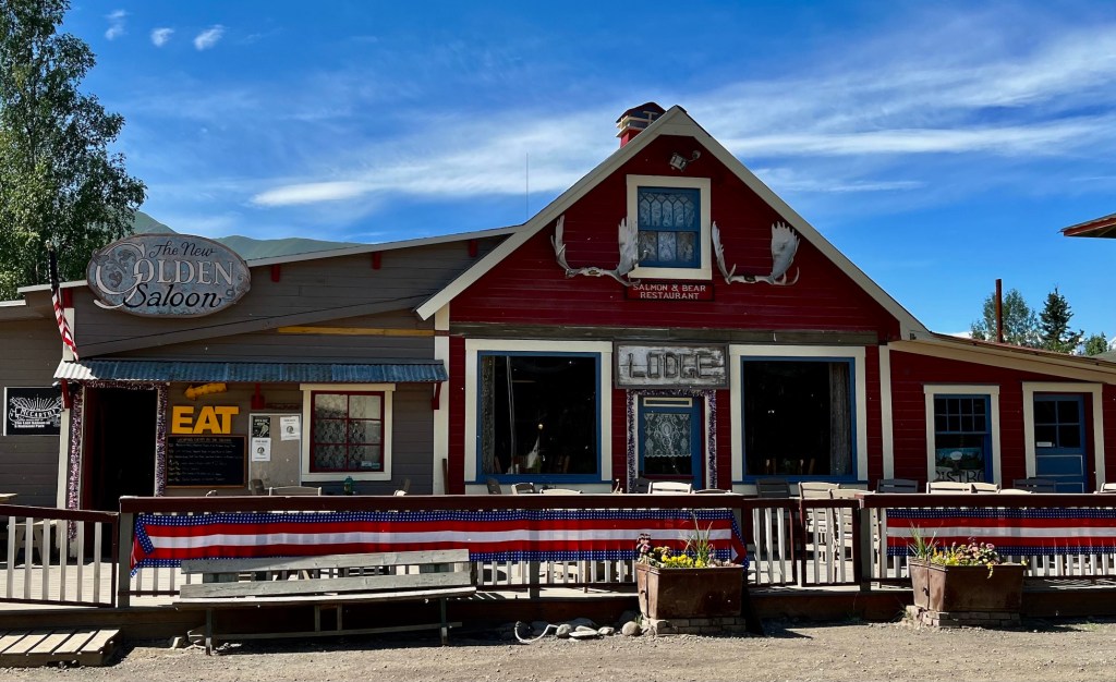
The Towns of McCarthy and Kennicott have been developed as tourist destinations, with crowded parking and camping areas, and some hotel accommodations.
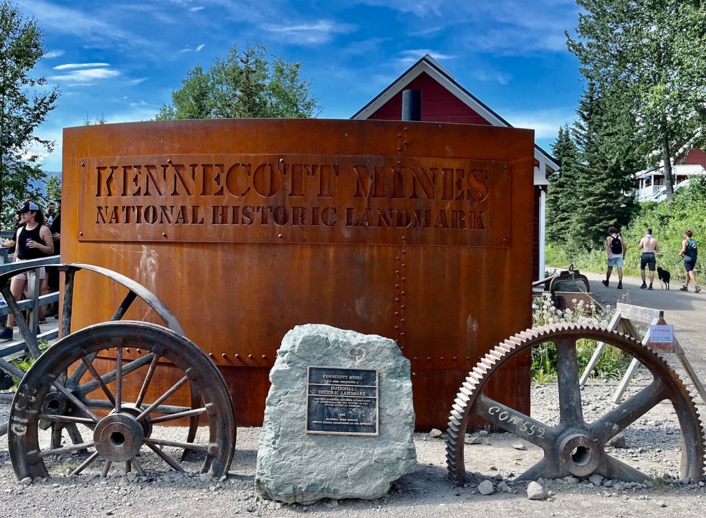
The Kennecott Mines National Historic Landmark is near McCarthy and accessed by a bumpy van ride. Kennecott Mines was a very profitable venture in spite of its remote location because the quality of the copper deposits was “uncommonly rich.” The copper ore was discovered by American prospectors in 1900 and by 1911 a camp, mill, mines, and railway allowed the mine to go into regular production. The mine produced ore until 1938. It was designated a National Historic Landmark in 1986 and acquired by the National Park Service in 1998. Some buildings have been stabilized and Kennecott is the best preserved example of early 20th century copper mining technology in the USA.
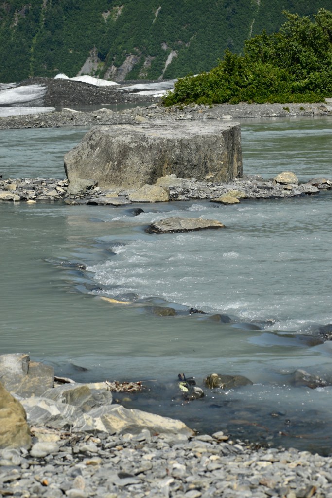
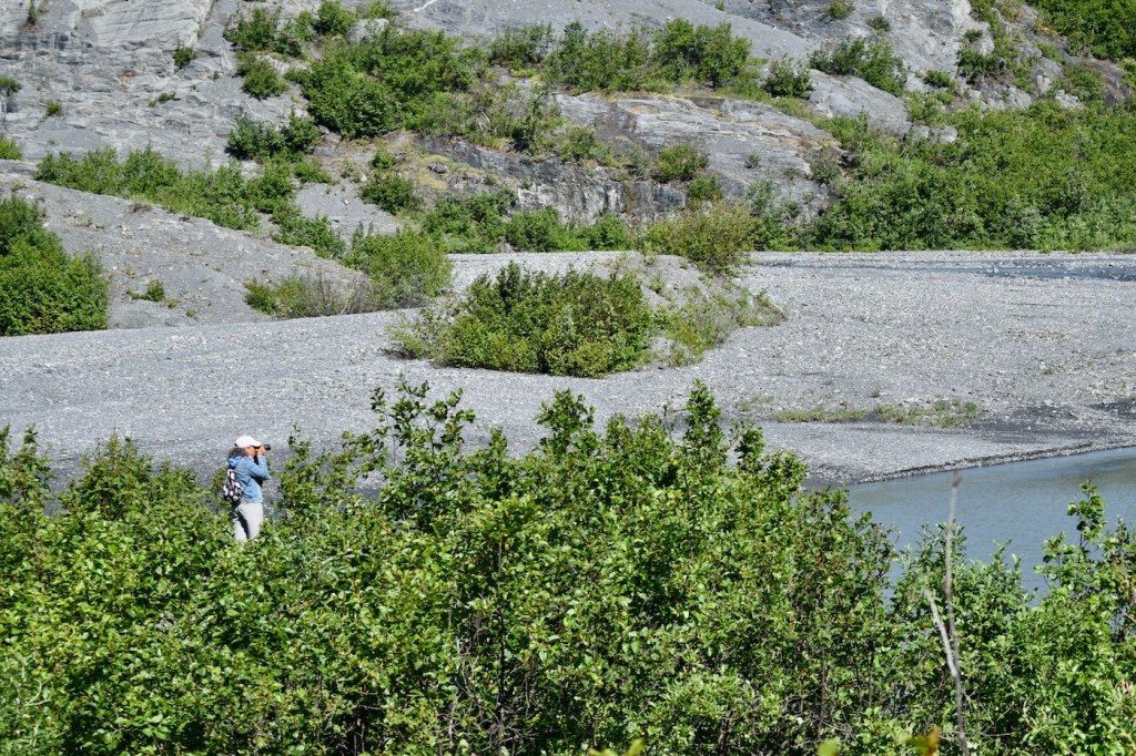
The Kennicott Glacier and Kennicott River are adjacent the Kennecott Mines, and the different spellings are correct. The glacial till, a mixture of rocks and gravel in the melting terminus of the glacier, is visible behind the buildings in the last photo above.
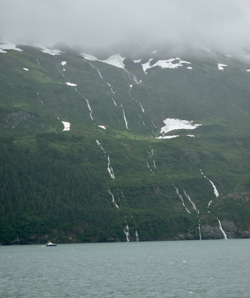
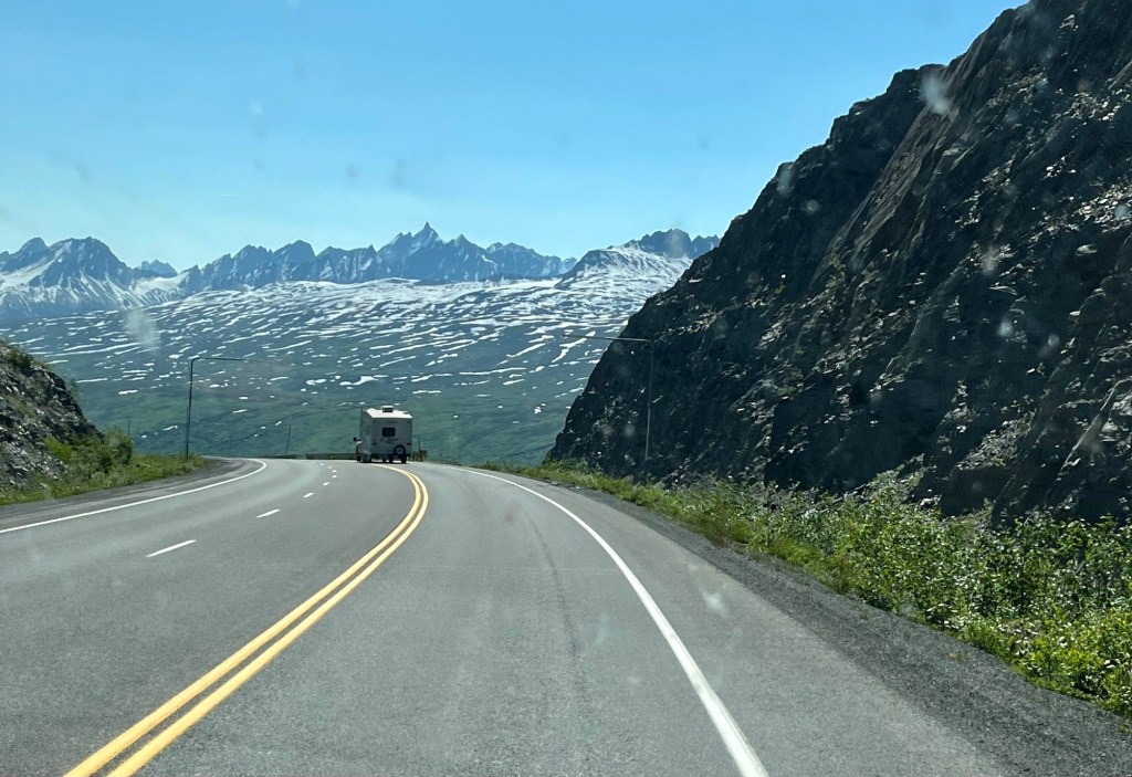
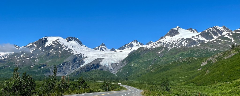
On Friday, July 1, we drove down the Richardson Highway from Glennallen to Valdez, Alaska. From the highway we could occasionally see the Alaska Pipeline that runs 800 miles from Prudhoe Bay to Valdez, completed in 1977, and the Worthington Glacier.
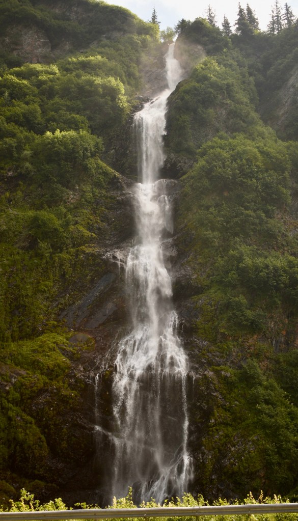
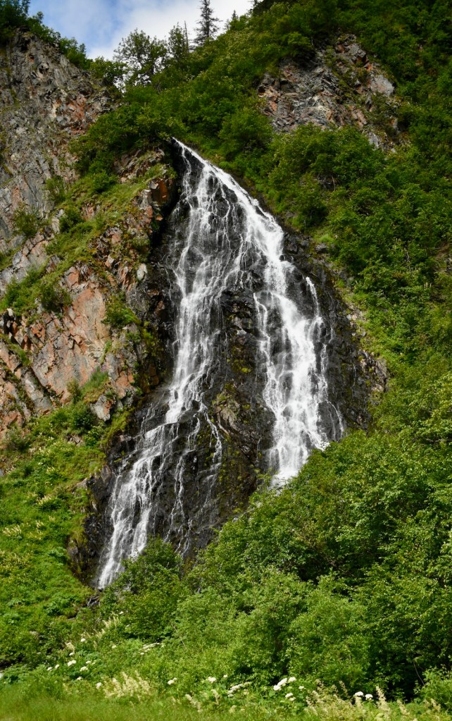
Lucee is a great traveler in the back seat of Dee’s big red truck.Bridal Lace Falls and Horsetail Falls
In parts of Alaska that receive large amounts of snow, including Valdez, houses are designed with the kitchen and living room on the second floor and bedrooms on the first floor.
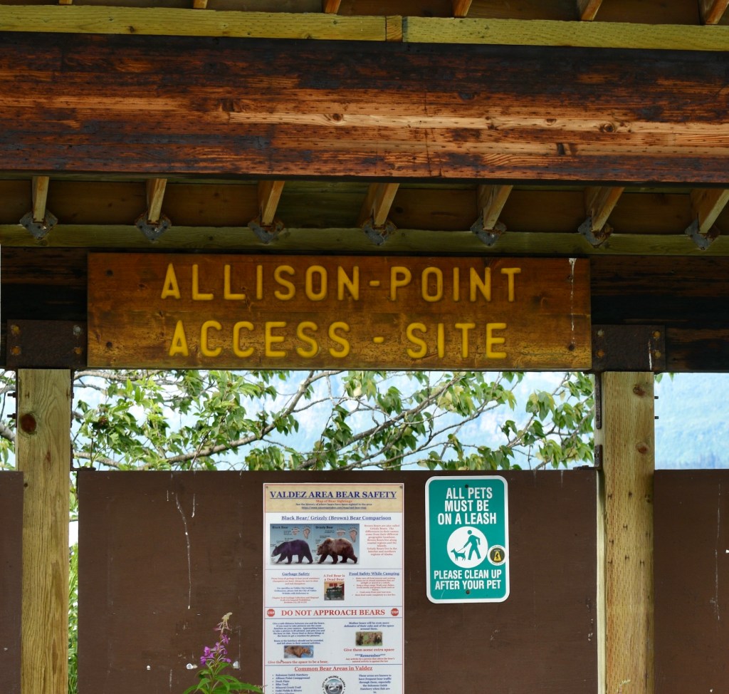
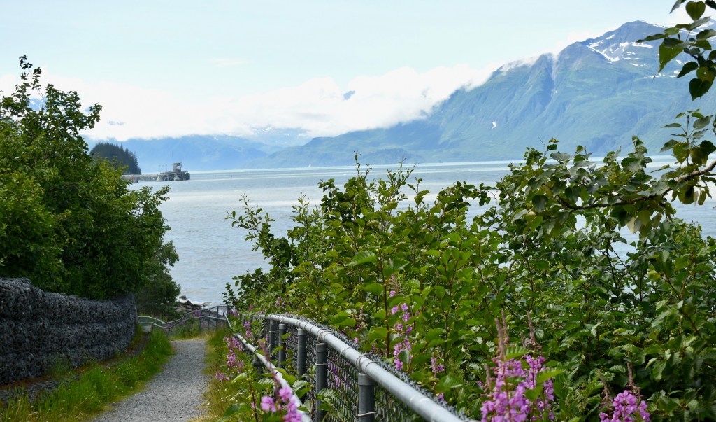
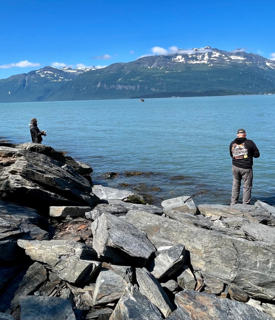
Doug and Dee fishing at Allison Point in Prince William Sound.
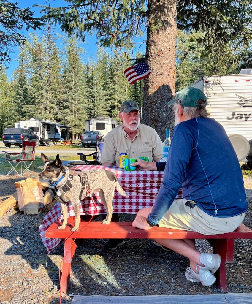
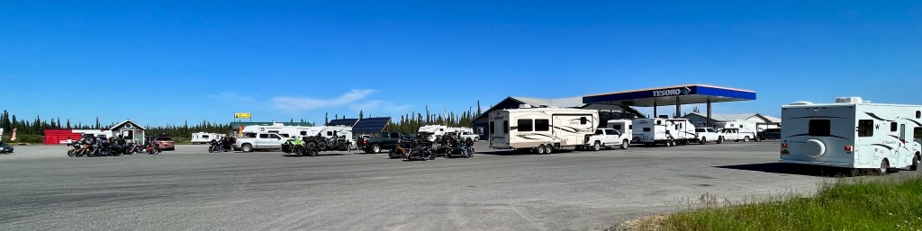
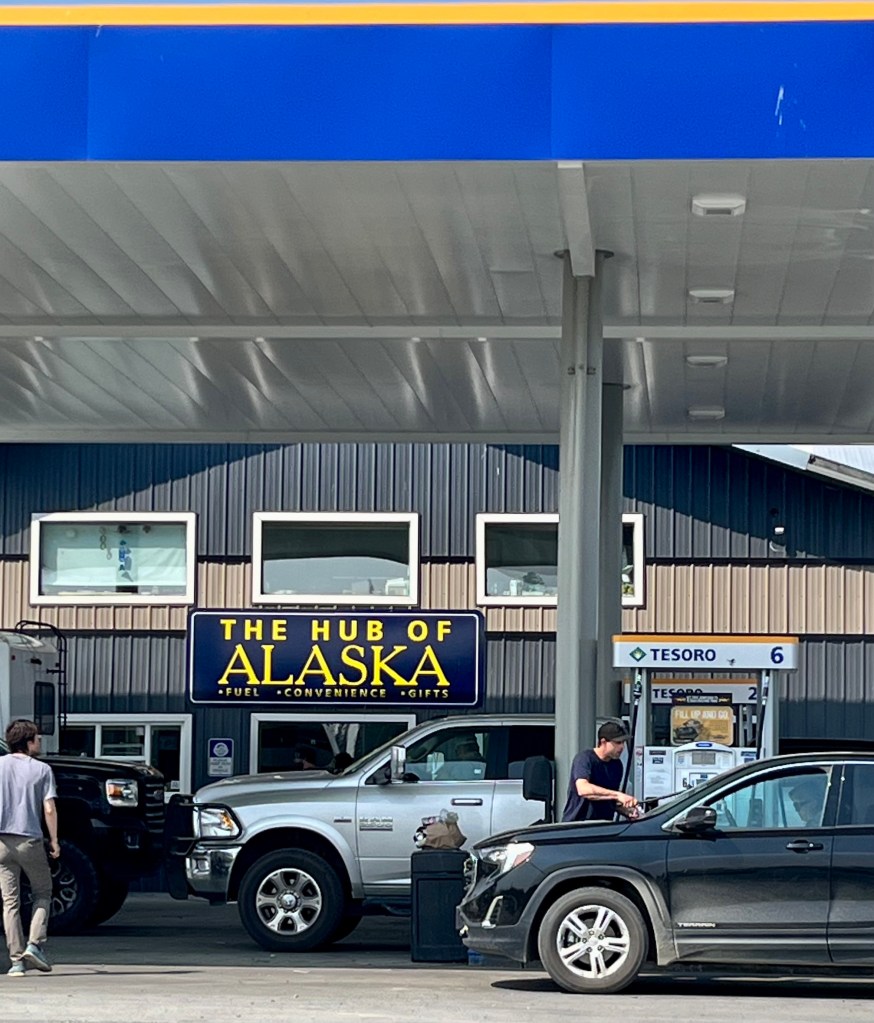
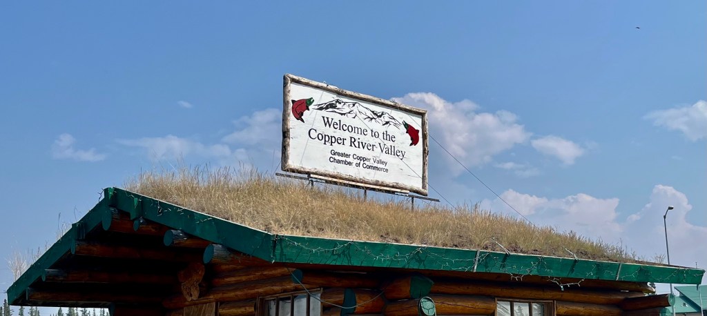
Doug and Dee spent another couple of days chasing the elusive fish in a tributary close to the Copper River. Glennallen is the junction of several main highways: Glenn Highway, Richardson Highway, and Tok Cut-Off, so calls itself the Hub of Alaska. This fuel station/visitor center/convenience store is busy 24 hours a day with lines of RV’s and big trucks.
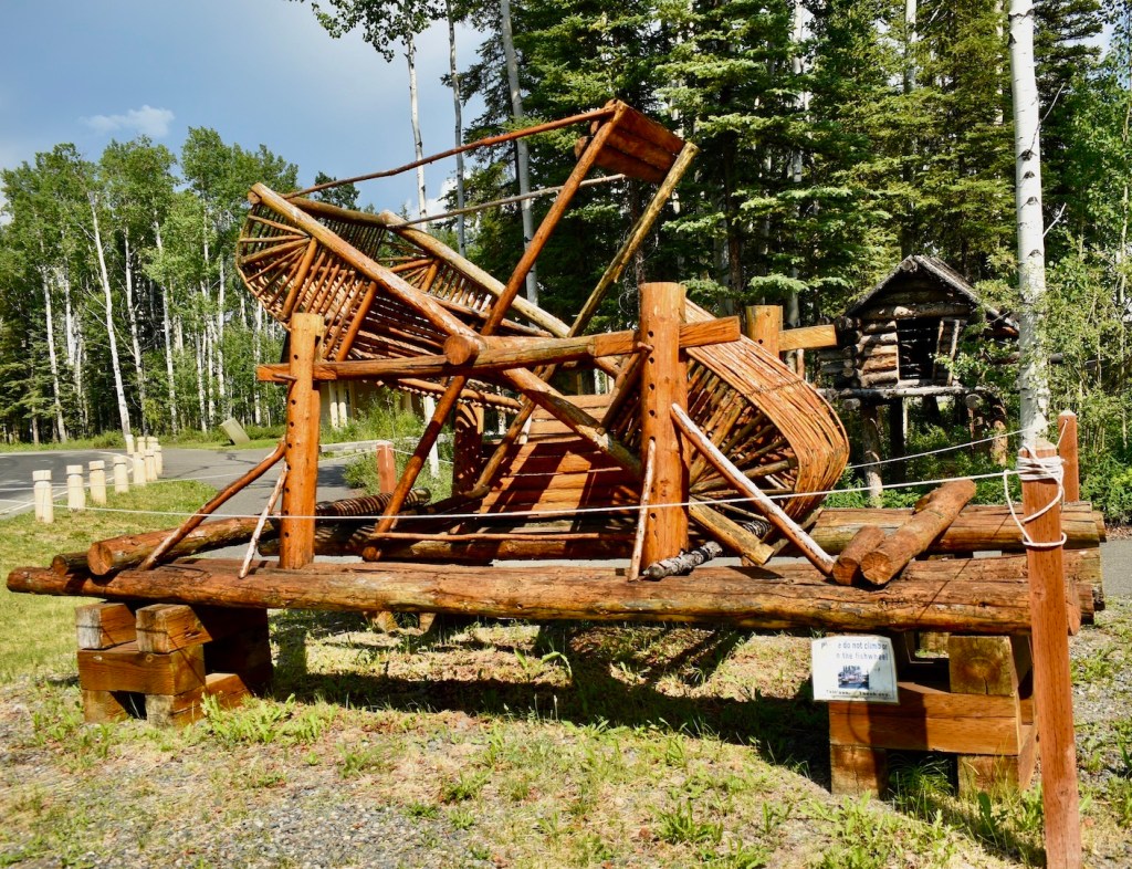
Dog sled race start
The Wrangell-St. Elias National Park and Preserve is the largest area managed by the National Park Service anywhere in the United States. It is a beautiful area, with mountains, snowfields, and glaciers.
You can see the copper color in the Copper River on the sign.
Mount Wrangell in the distance. There is a distinct avalanche field in the foreground.
Protection from bears?Avalanche detailFish wheel used by First Nation People today
Copper River
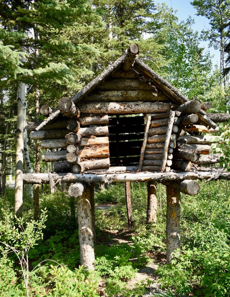
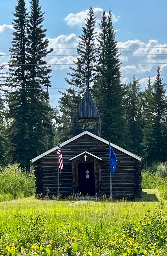
“Historic” Log Cabin Church in Copper Creek
Copper River and Mount Sanford
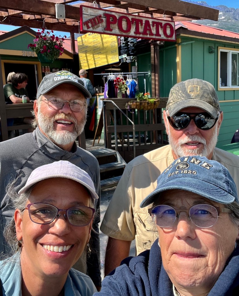
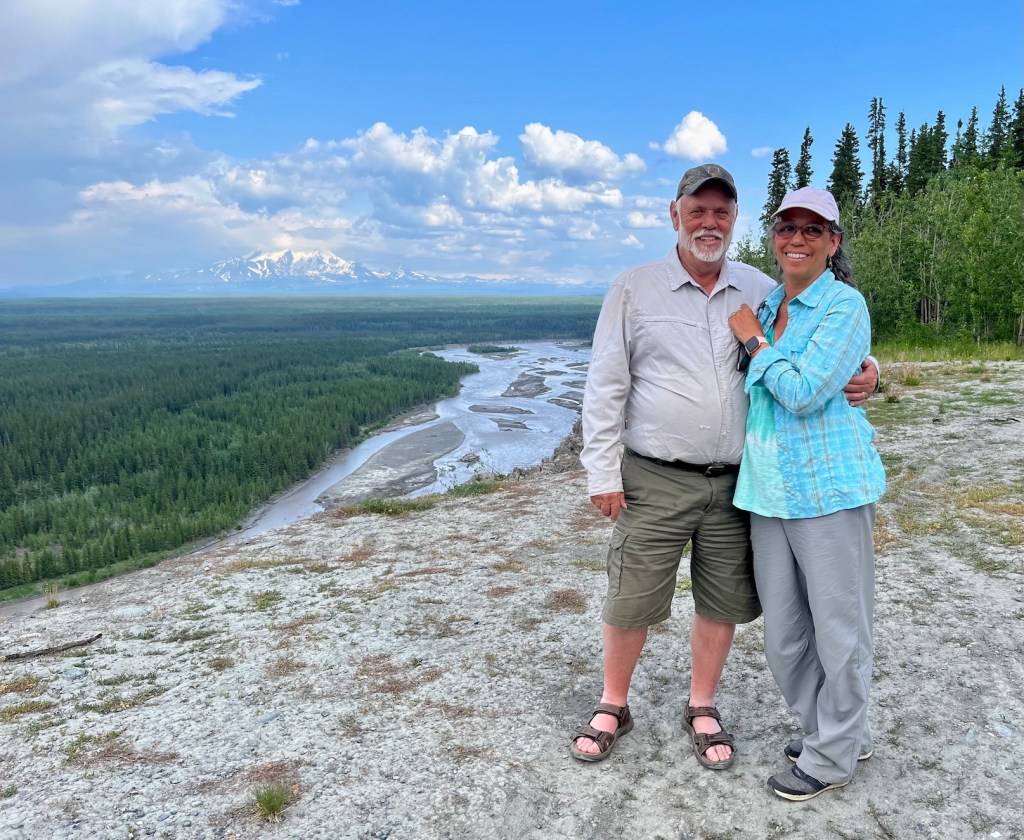
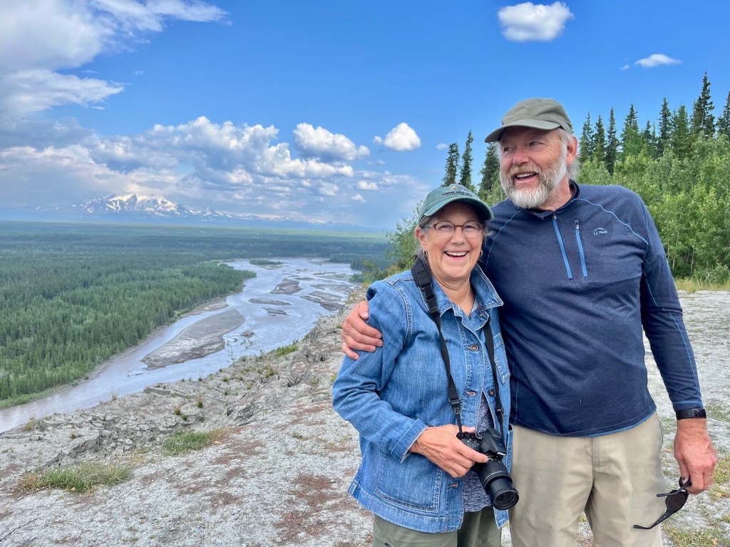
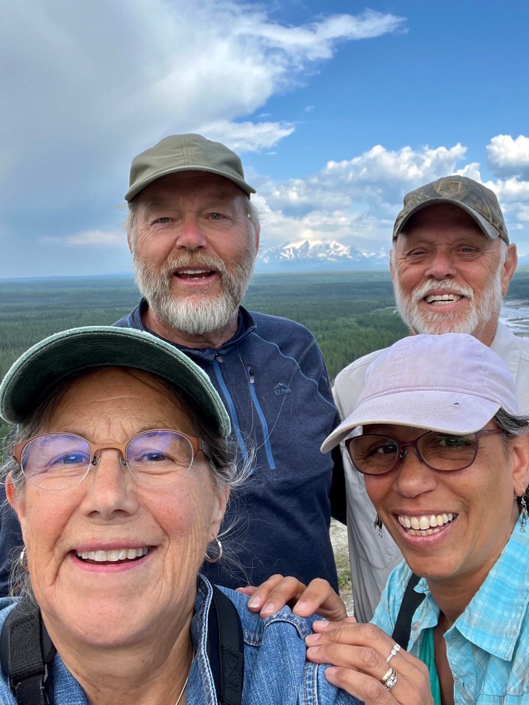
Dee and Cheryl
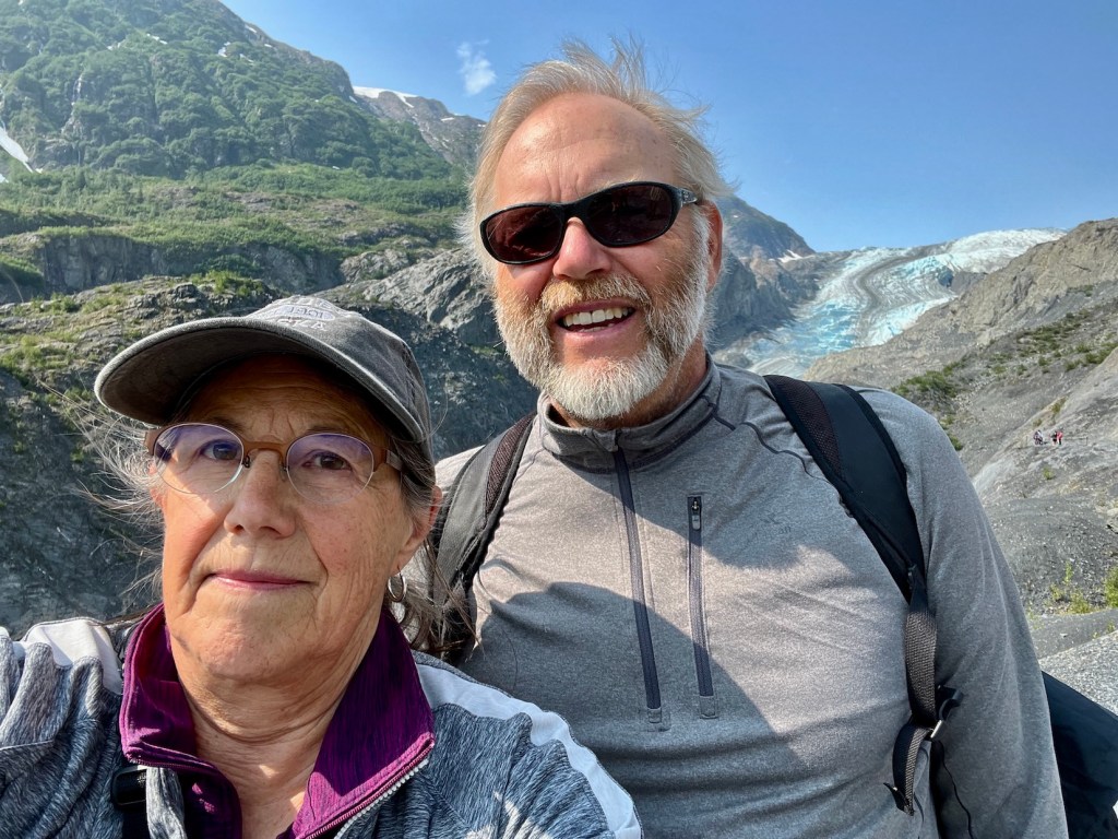
Judy & Doug
We are happy to be completing June and moving on to July!